Hiking The Signal Hill Trails In Newfoundland

On our first morning in St. John’s, Newfoundland, Bob and I woke to find brighter skies than the previous afternoon and we decided to take a hike to Signal Hill. Numerous colourful ships had arrived in the harbour during the night including freighters, coast guard and trawlers.
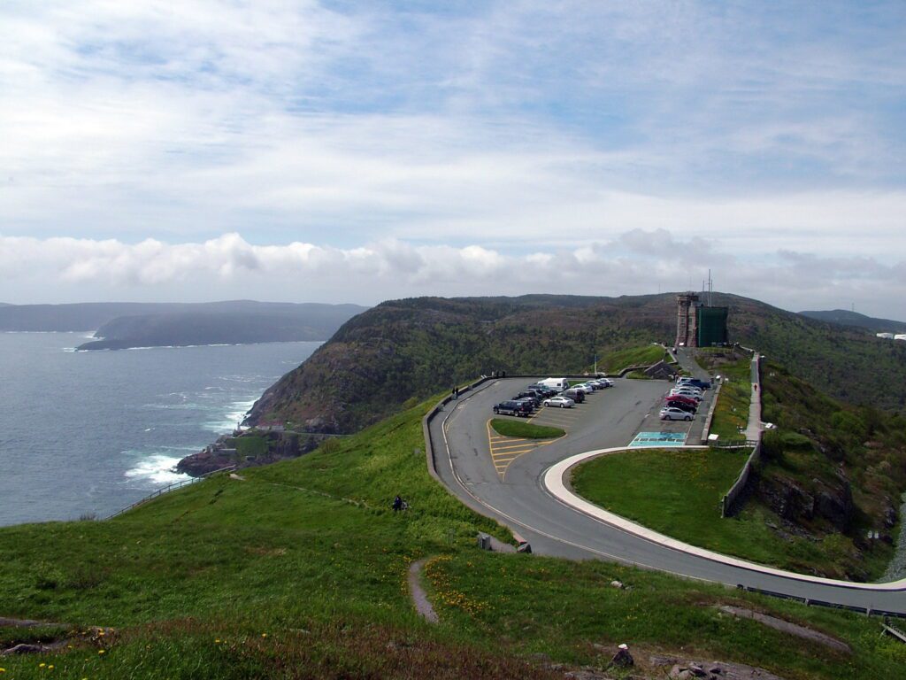
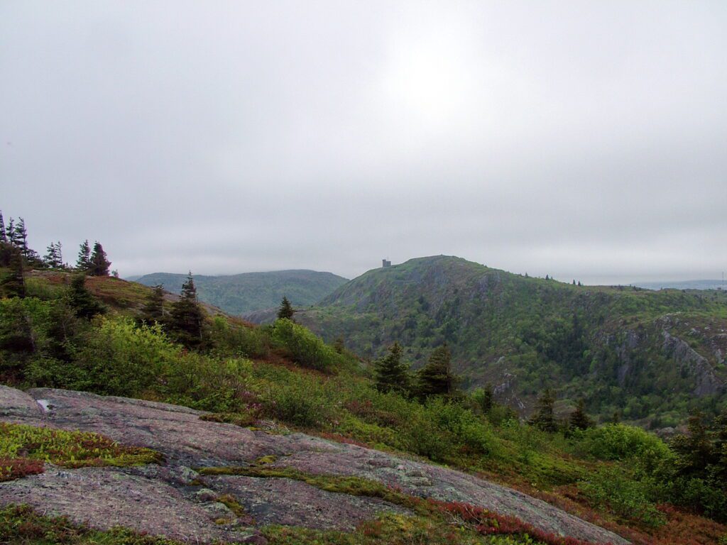
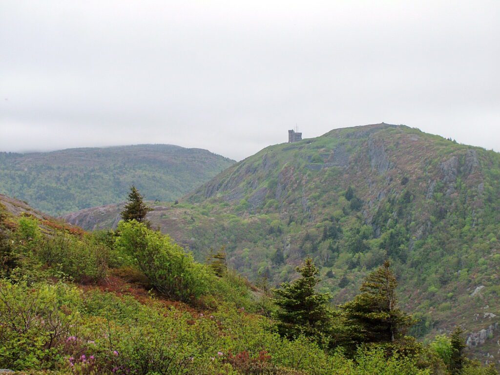
We began our explorations by sauntering down to the harbour. From dockside, through the dim morning light, Bob and I could see Cabot Tower on top of Signal Hill. It seemed a fitting place to visit given its naval history.
Once on Signal Hill, Bob and I got itchy feet and decided to explore some of the hiking trails on the rocky headland.
A few trails with whimsical names peaked our interest, but North Head Trail passes right by Signal Hill National Historic Site, so it was the obvious choice to begin with.
The trailhead for North Head Trail is actually at sea level near the intersection of Battery Road and Signal Hill Road. It is the oldest of the trails on Signal Hill, its use dating as far back as the 1500s. A somewhat obscure back lane connects to the lower end of the trail.
North Head Trail conducts hikers along the north side of The Narrows to North Head below Cabot Tower.
Bob and I did not undertake the full North Head Trail since we were already at the summit of Signal Hill. Instead, we headed north and branched off on Ladies Lookout Trail. As a result, we missed the steepest sections of North Head Trail where it ascends 100 feet adjacent to steep rocky cliffs.
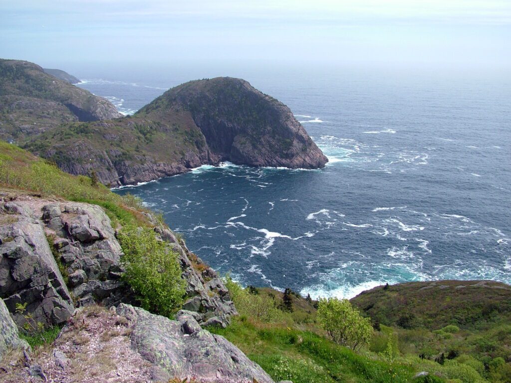
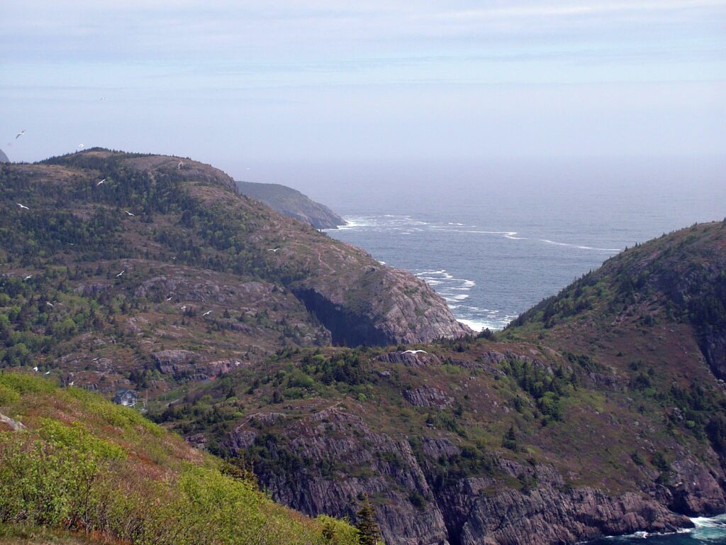
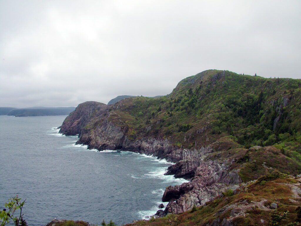
Our wanderings took us along the crest of the headland toward Cuckolds Cove and away from St. John’s. Cuckolds Head is visible in the centre of this photo.
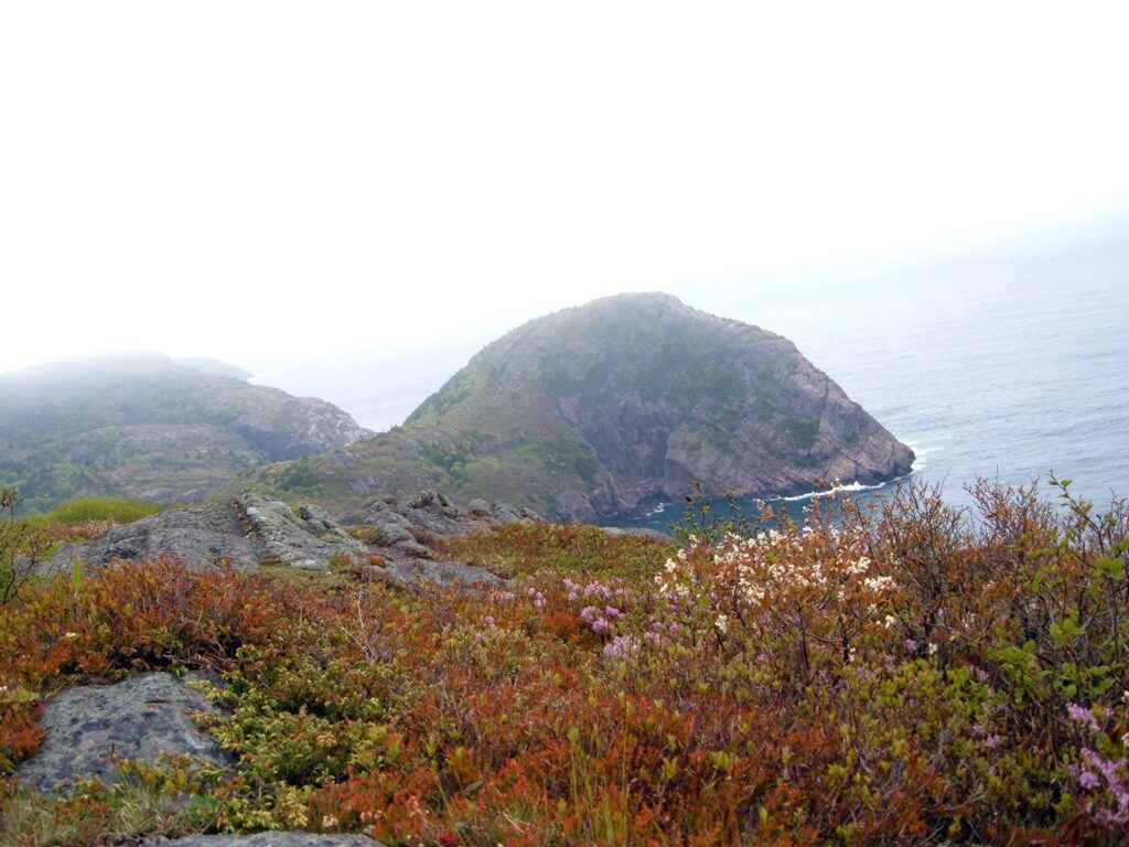
Along that first section of Ladies Lookout Trail, Bob and I found blueberry bushes covering every inch of exposed soil. The bushes were loaded with blossoms given the time of year, early June.
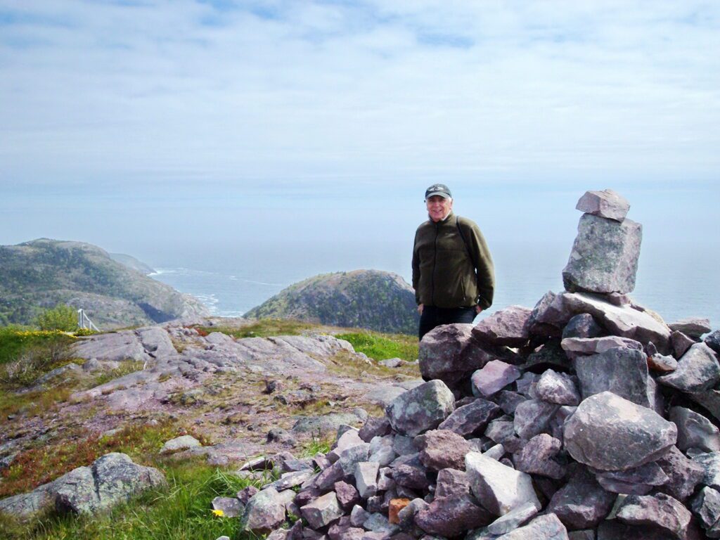
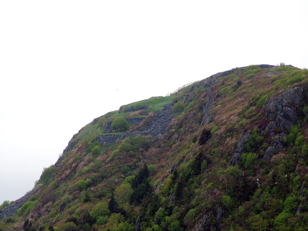
Ladies Lookout is the highest point of land on Signal Hill. As in so many places that we visit, a cairn had been assembled out of loose rocks.
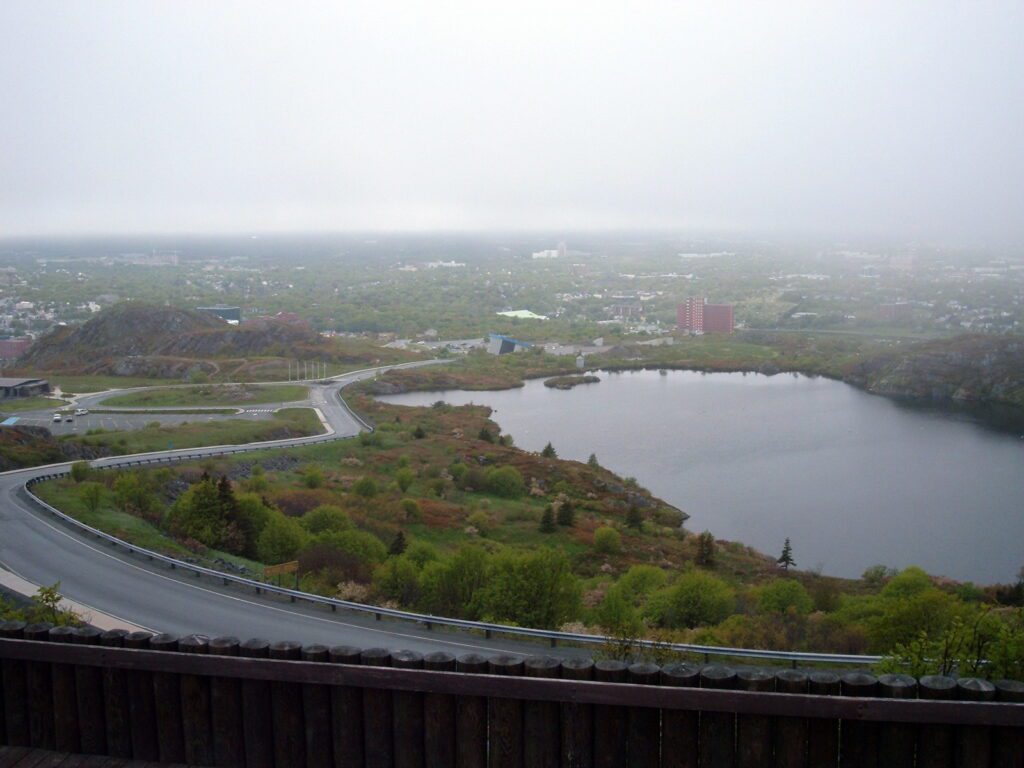
Ladies Lookout is situated on Burma Hill and is the very spot where the Battle of Signal Hill took place in September of 1762. In the distance is St. John’s Harbour, and at the bottom of the hill is Georges Pond.
Ladies Lookout came by its name honestly. Offering unparalleled views of the north Atlantic, ladies from St. John’s used to ascend the hill to watch for the return of ships carrying their loved ones.
Ladies Lookout Trail connects with the Burma Road Trail that begins its descent towards Cuckolds Cove. This is a small cove tucked at the base of the rocky cliffs between Signal Hill and Quidi Vidi Village.
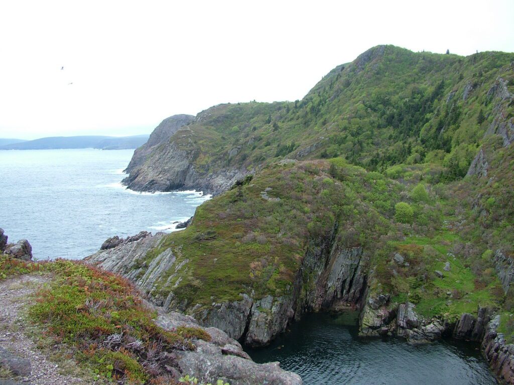
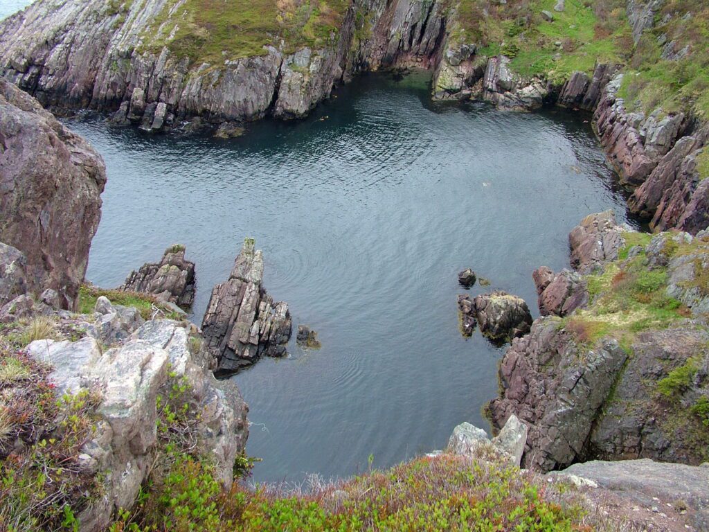
Cuckolds Cove is protected on three sides by sheer rocky crags. Perhaps that is why it was chosen as the landing spot for the first trans-Atlantic telegraph cable to be laid between Ireland and Newfoundland in 1909.
It was American servicemen stationed at coastal batteries on Signal Hill during World War II that are responsible for building the Burma Road. Bob and I were enthralled with the expansive views of the craggy rock faces. We couldn’t begin to image the ferocity of the North Atlantic relentlessly bashing the shoreline during a fierce storm.
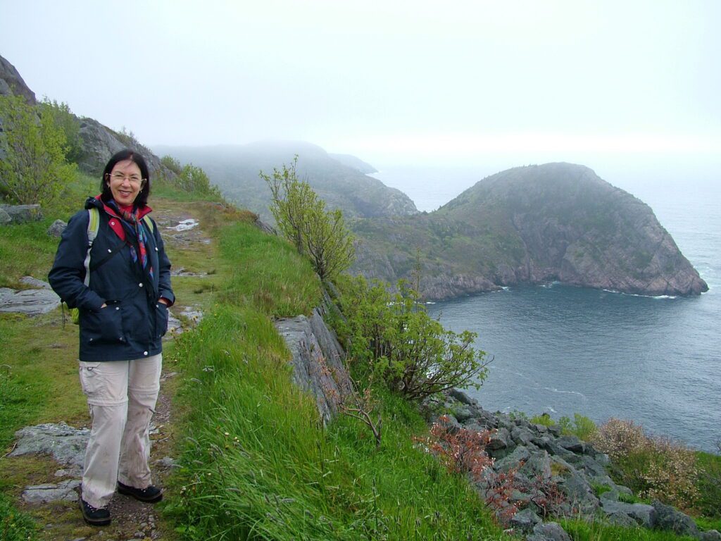
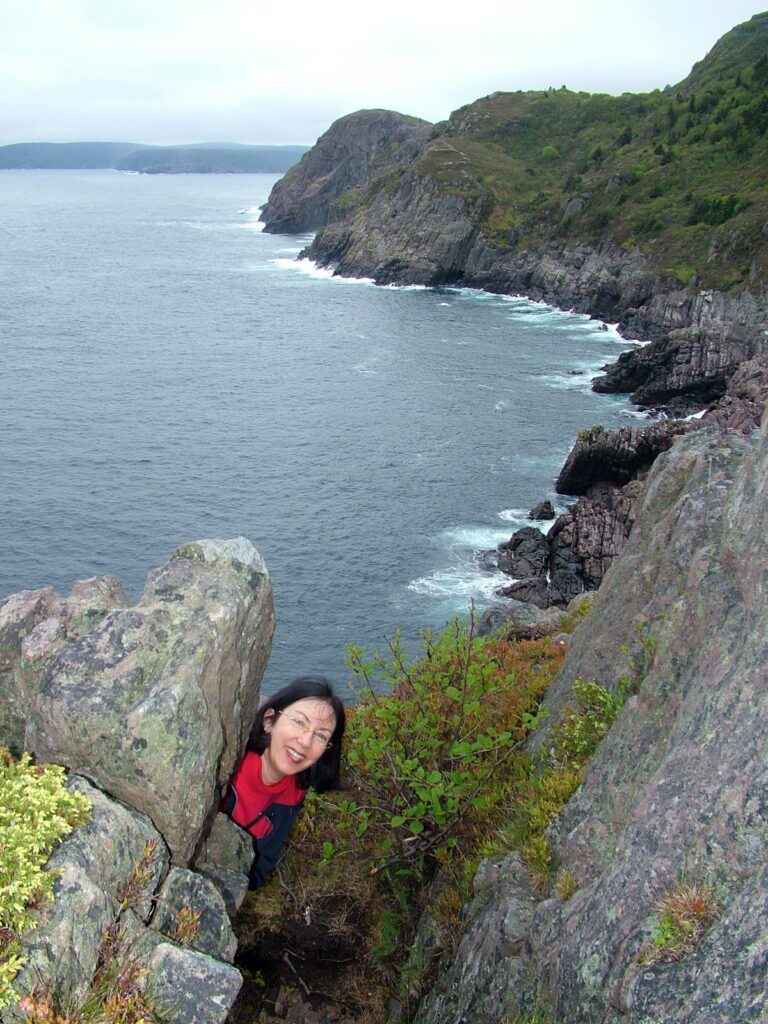
The Burma Road Trail descends to an exit at Cuckholds Cove, so going in search of a different perspective on the scenery, Bob and I carefully picked our way along. True to my playful nature, I hurried ahead and played at hide-and-seek.
Ladies Lookout towered over us. No wonder it provides such wonderful 360-degree views of the ocean and surrounding landscape.
All Bob and I could hear was the crashing of waves against the rocky coastline. North Head seemed a long way off.
Bob and I were determined to get a glimpse of Quidi Vidi, so we continued on across the neck of the small peninsula called Cuckholds Head.
When we laid eyes on Quidi Vidi Gut, Bob and I were enthralled with the charm of the quaint fishing village. There is so much fascinating information about this “village within a city”. The origin of its name, for one thing, is a mystery. Was it coined after the name of a beloved cat, “Kitty Vidi”? Or was it in memory of “Kitty Vitty”, the owner of a house of ill-repute on Quidi Vidi Lake at the east end of St. John’s? Some say the name has its origins in Portuguese or Italian, translated to mean “a beautiful sight” or “that which divides” in reference to the extremely narrow entrance into the harbour.
Bob and I were caught out by a light rain, but that did not dampen our spirits. We couldn’t learn enough about Quidi Vidi, one of the oldest fishing villages in North America. Settled in the 16th century by fishermen who had to use shallops for fishing because of the challenging entrance to the harbour, Quidi Vidi still retains its old-world feel. We were totally captivated.
Given that Bob and I had plans to go further afield that afternoon, we hastened back towards Signal Hill. Fog swept in to accompany the rain so our hiking boots and pant legs soon were soaked from wading through wet vegetation.
A couple of wrong turns were taken on the downward descent, but two locals pointed us in the right direction along the Burma Road Trail. That brought us out at the bottom of Signal Hill on the far side of Georges Pond. Bob walked up to fetch the car while I waited at the Visitor Centre. The hike had taken about 3 hours, but we were invigorated. Time to head to Petty Harbour for lunch and to discover Ferryland and the Lost Colony of Avalon!
Frame To Frame – Bob and Jean


