Driving the Ring of Kerry in Ireland
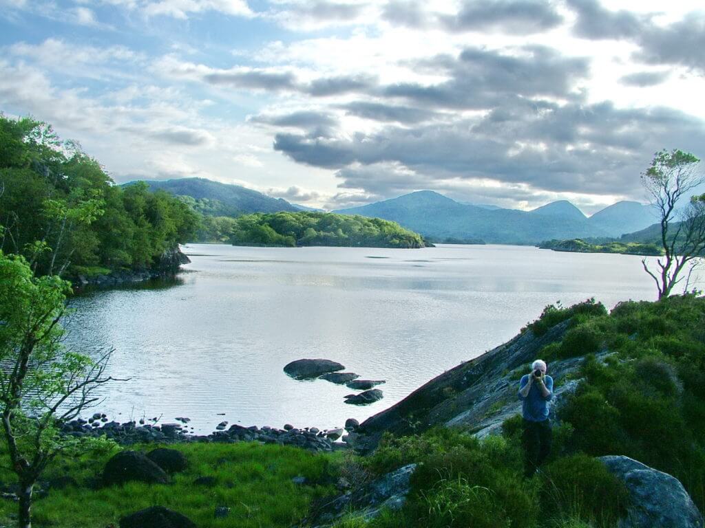
When Bob and I set off from Killarney to drive the famed Ring of Kerry route, technically, we had already seen a section of it the previous afternoon when we arrived there in Killarney National Park. Thankfully, glorious sunshine had provided us with spectacular views of the Killarney Lakes.
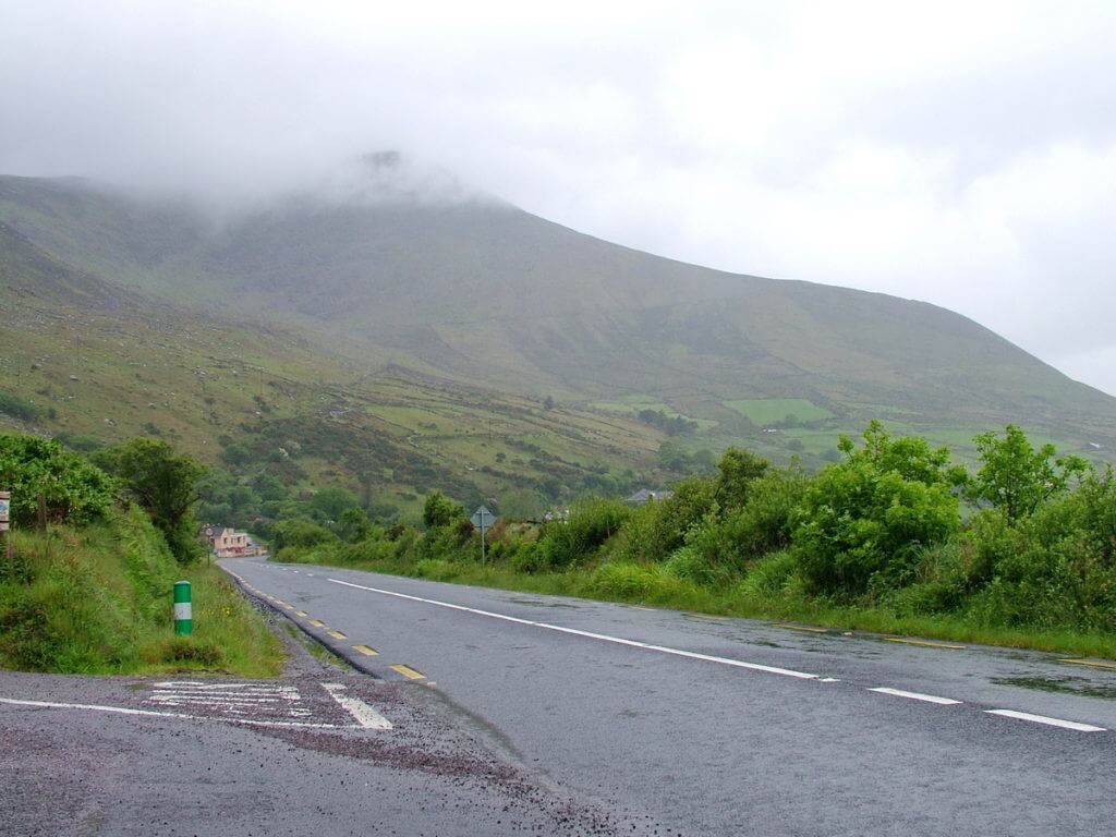
The same could not be said the following morning. We set off on our planned excursion around the Iveragh Peninsula under cloudy, windy, wet conditions, but when on vacation, you forge ahead and make the most of each day.
Bob and I decided to travel the route counter-clockwise even though that is the preferred direction for oversized vehicles like tour buses. With the winding coastal circuit of 179 kilometres ahead of us, we hoped no slow-moving vehicles would hold us up.
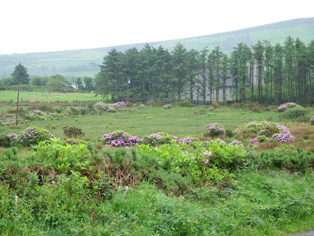
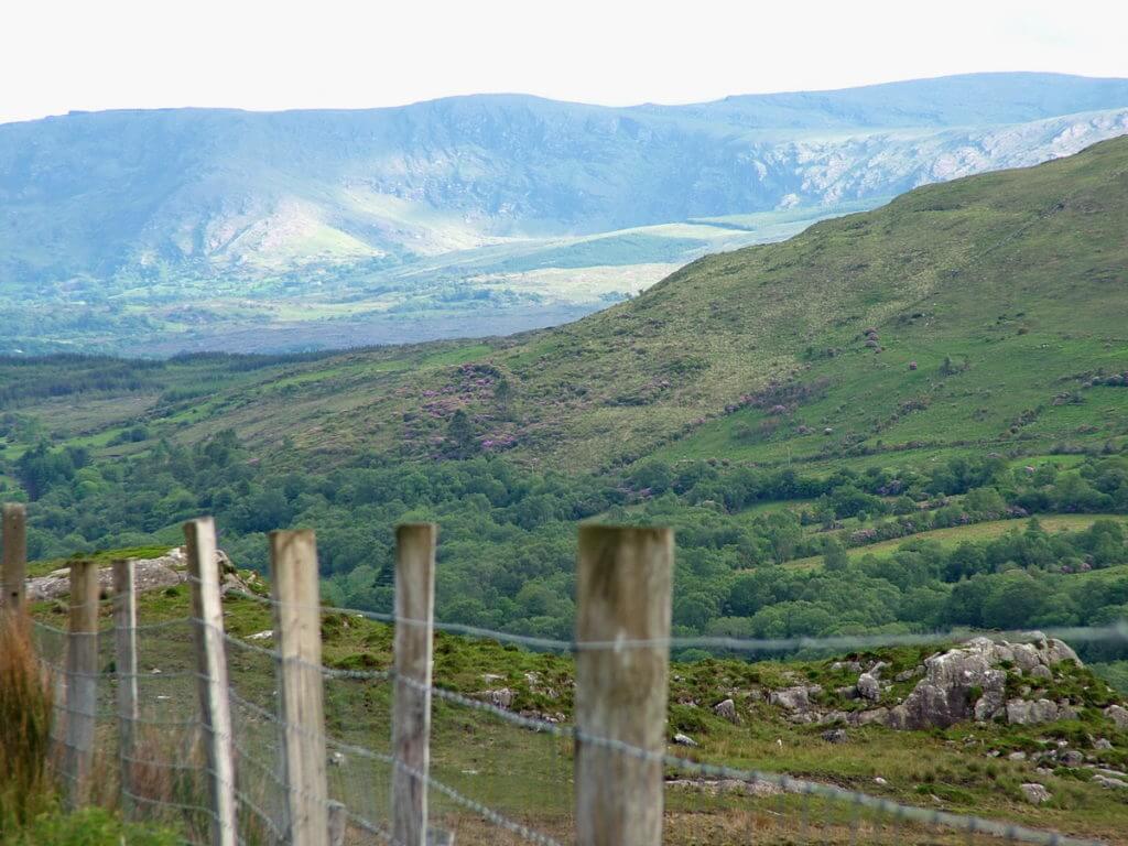
Again, Bob and I were taken with the colourful hedgerows of Rhododendrons even knowing that these tropical plants pose a problem for Ireland because of their invasive tendencies. Rhododendrons crowd out native species and provide too much shade for others because they can grow to 3 metres tall, more a tree than a garden shrub.
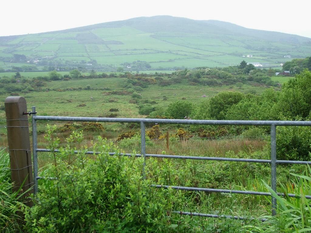
There is no doubt that the Ring of Kerry showcases some of the most beautiful, bucolic Irish landscape. Cutting through the heart of County Kerry, the circuit passes by lush green fields and sleepy villages.
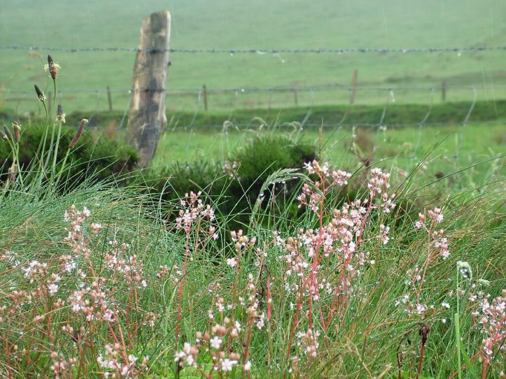
Dripping with moisture, a spread of frothy pink flowers growing along the verge had Bob pulling the car over so I could make a quick study of this wildflower.
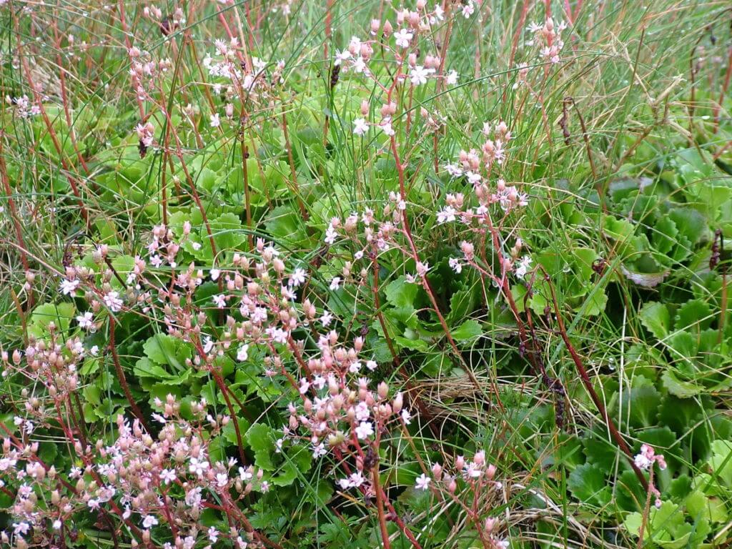
Originally, I pegged this plant as St. Patrick’s Cabbage because of the pink blossoms and erect, fleshy red stems, but the kidney-shaped leaves suggest a hybrid cross with Kidney Saxifrage. I am still out on the final identification. Both species are wildflowers of Western Ireland, but Kidney Saxifrage is found only in Counties Kerry and West Cork.
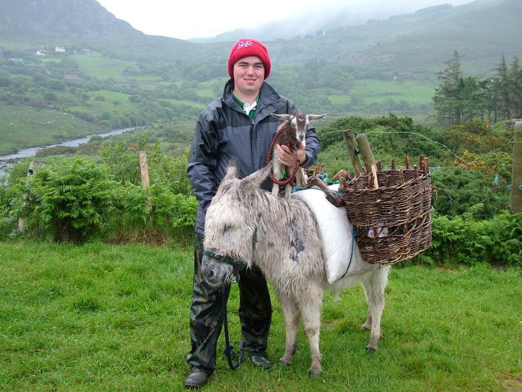
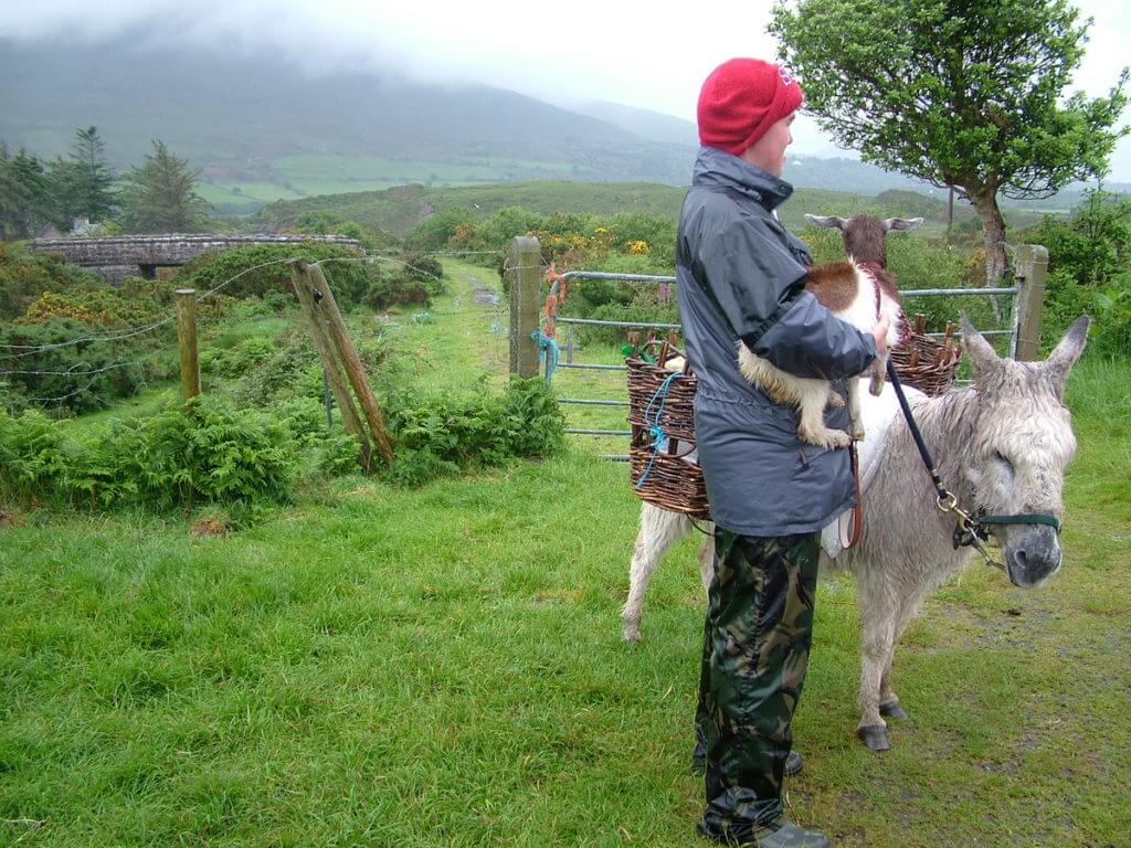
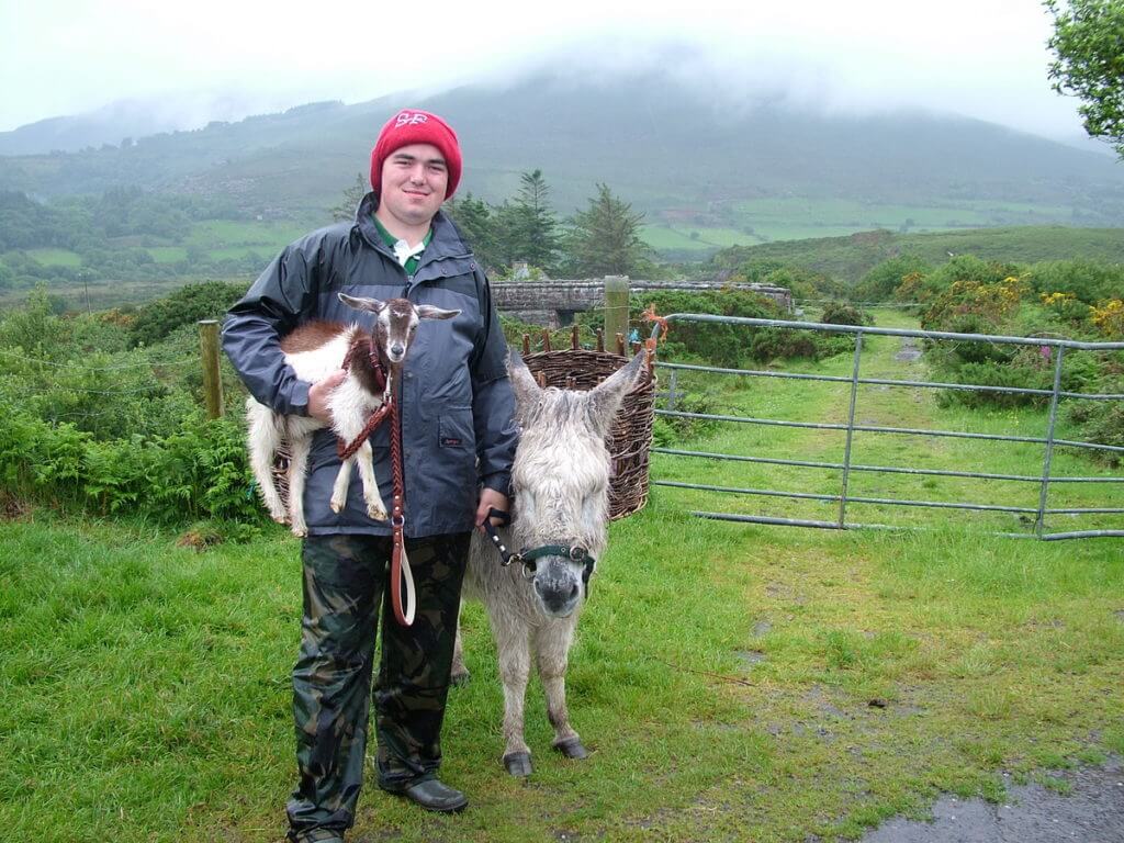
My heart melted when I first set eyes on this goatherd’s charges near Killorglin. The baby goat was standing on the donkey’s back! We missed that photo op, but passed a good few minutes chatting with the young lad.
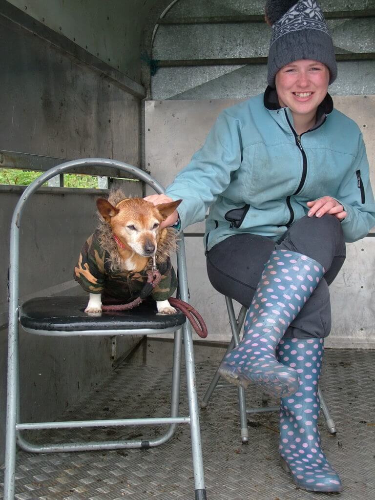
Looking on from a stone’s throw away was the goatherd’s sister appropriately dressed for the chilly morning, and her dog dressed in camo to stave off the dampness.
Meanwhile, the kid, only a few weeks old, was shivering on that drizzly, damp day, yet the donkey, at age 43 and with layers of thick hair, seemed oblivious to the inclement weather.
With wicker baskets lashed to the donkey’s back, the goatherd was poised for work with a shovel in one basket and supplies spilling out of the other, but he generously obliged us with a few photos while explaining that goats are revered in this region of Ireland.
There is an annual festival called Puck Fair at which a wild mountain goat is crowned King Puck, and days of dancing and music ensue. The celebration dates to the early 17th century. It was only a few minutes before the young lad bid us adieu and set off down the lane that wends its way through the idyllic pastoral landscape.
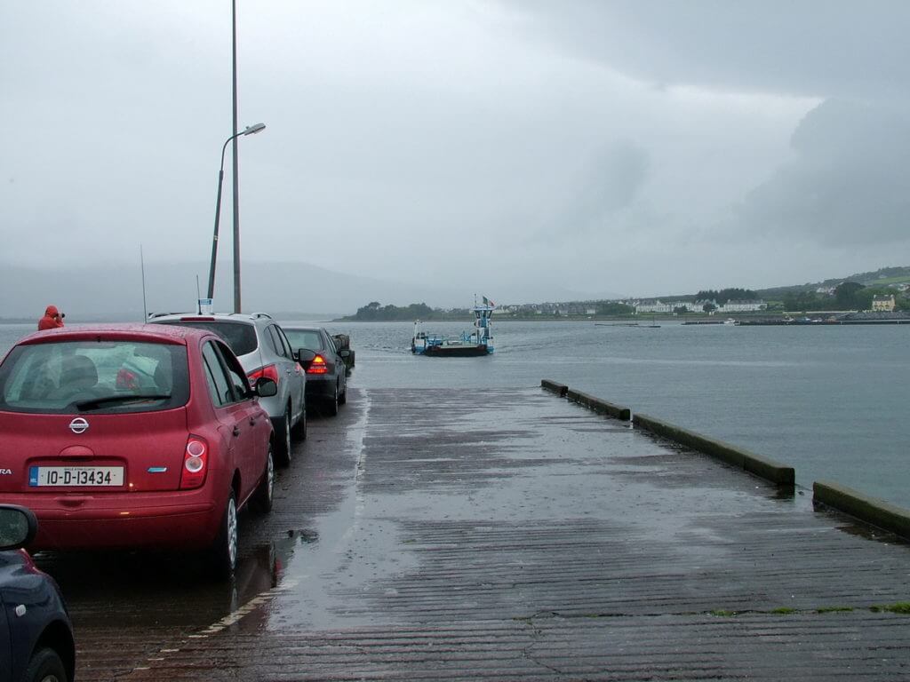
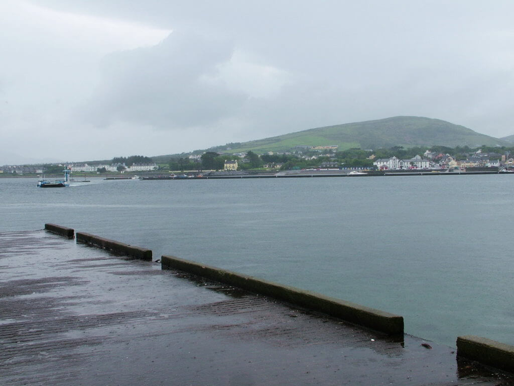
Continuing in a southwesterly direction, Bob and I opted to take the car ferry over to Valentia Island from Reenard Point, Cahersiveen. By this point, Bob and I actually were driving on an extension of the Ring of Kerry called the Skellig Ring Scenic Drive and Wild Atlantic Way.
It took about 5 minutes to cross the narrow stretch of water and dock at Knight’s Town, the largest settlement on Valentia Island. The community was a prominent base for the laying of the first successful Transatlantic telegraph cable to Heart’s Content, Newfoundland & Labrador, Canada in 1866.
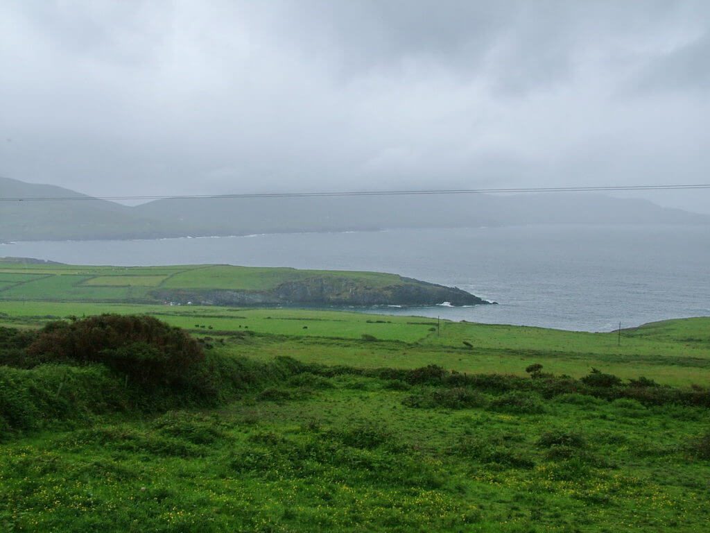
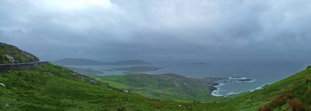
We enjoyed the scenic drive through craggy landscape and had frequent views of the Atlantic Ocean, but heavy fog and dark skies shrouded the ragged Skellig Islands and kept them hidden from view.
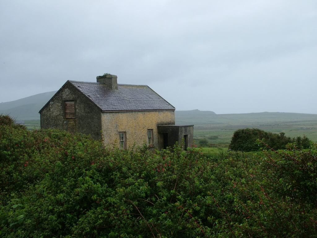
Crossing the bridge at Portmagee brought us back to the mainland, and we continued along the short, 32-kilometre detour. It was pleasant being off the beaten path where the roads are too constricted for tour buses. We felt privileged to be alone with the waves crashing against the shore on one side and deep, green mountains on the other. Sturdy stone cottages dot the countryside and seem to defy the passage of time.
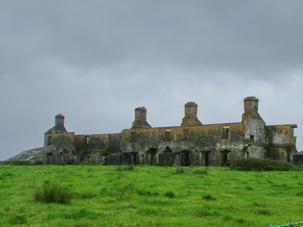
And yet, rounding a corner often revealed a set of ruins languishing where it once stood proud. Adding to the kaleidoscope of sights were prim and proper businesses awash in colours of the rainbow. Rubbing shoulders along the main street of every small village, the shops presented cheerful streetscapes that welcomed us over and over again.
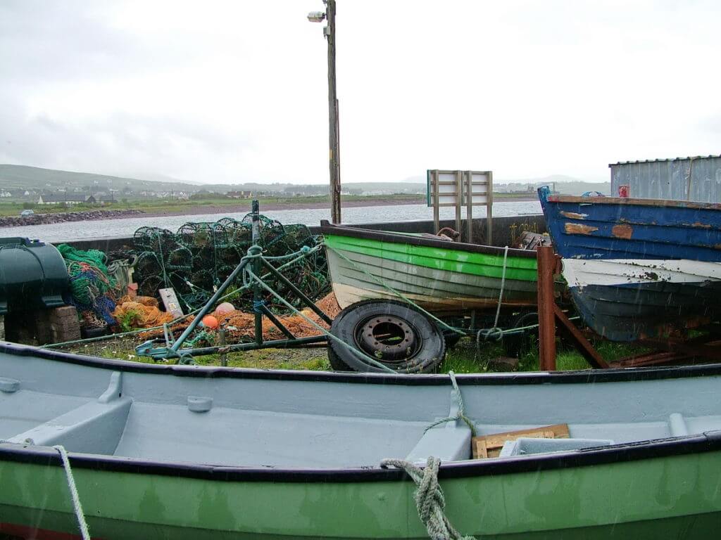
The untamed Atlantic coast of the Iveragh Peninsula has many quiet fishing harbours and tucked into the shoreline slate-roofed fishing villages that hearken back to an earlier era. Ballinskelligs gets its name from the Skellig Islands, an inhospitable pair of islands just offshore. Back in the 5th century, monks established a monastic colony on the islands that provided a peaceful, solitary retreat.
The history of Ballinskelligs is also steeped in the Irish language, and the area is a renowned Gaeltacht (Irish-speaking area), one of the few remaining in Kerry.
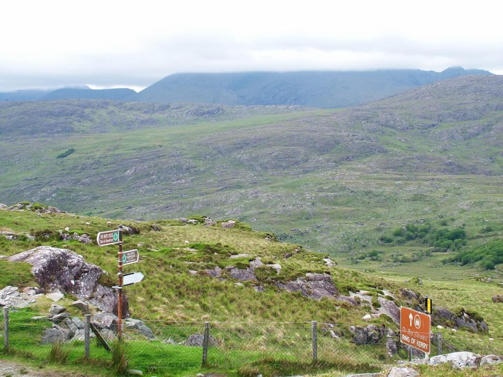
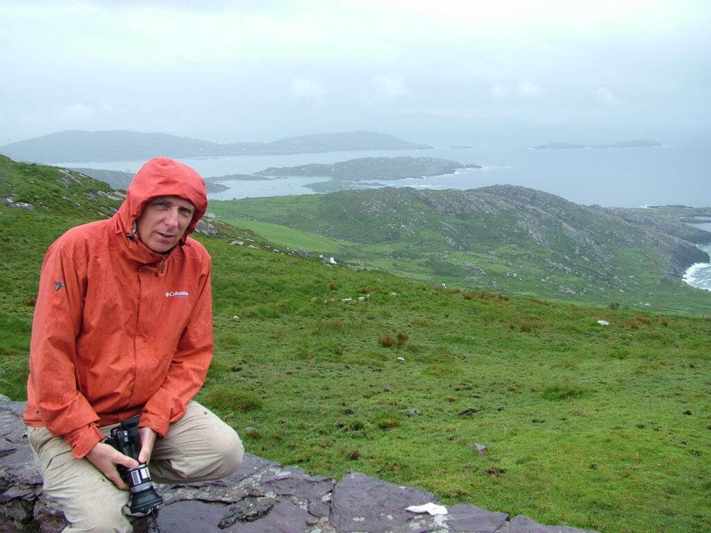
Continuing around the Skellig Ring along the western shore of Ballinskellig’s Bay eventually had us rejoining the Ring of Kerry. The route turns south and skirts the eastern edge of Ballinskellig’s Bay. Bob pulled off the road at The Ring of Kerry Lookout & Car Park near Balleen to take advantage of spectacular 360-degree views.
The sky had brightened somewhat for which we were grateful. Across a wide valley at the end of a sheltered inlet was Waterville, the only village on the Ring of Kerry that sits on the coast of the Atlantic Ocean. We had passed by there a short while earlier.
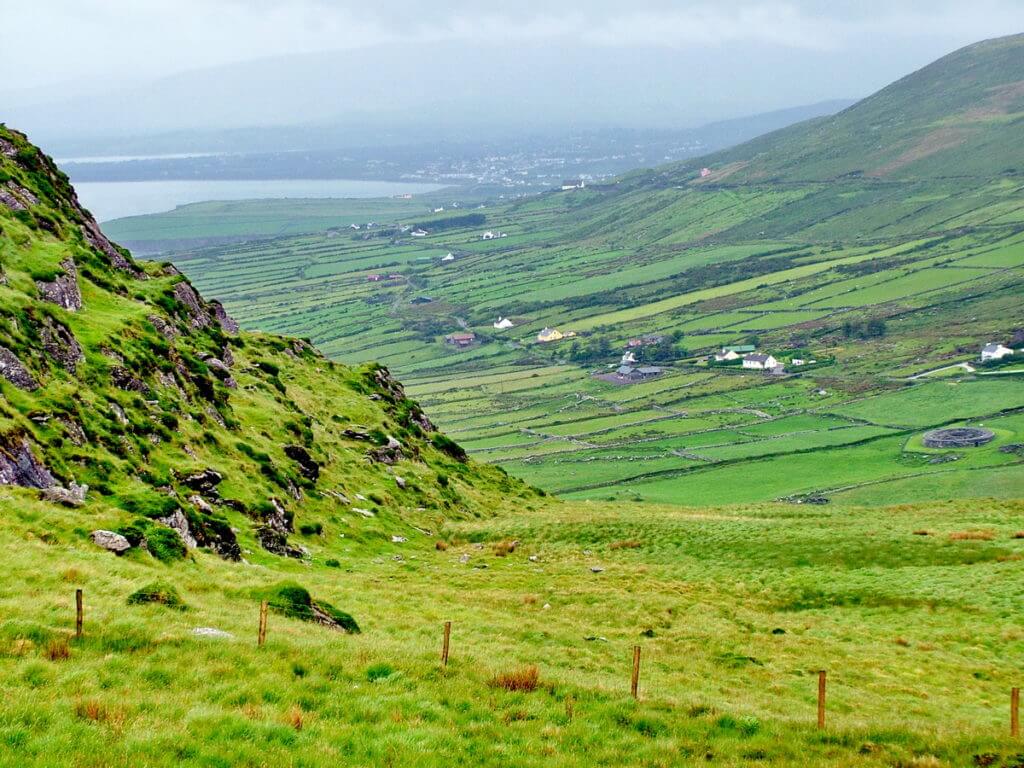
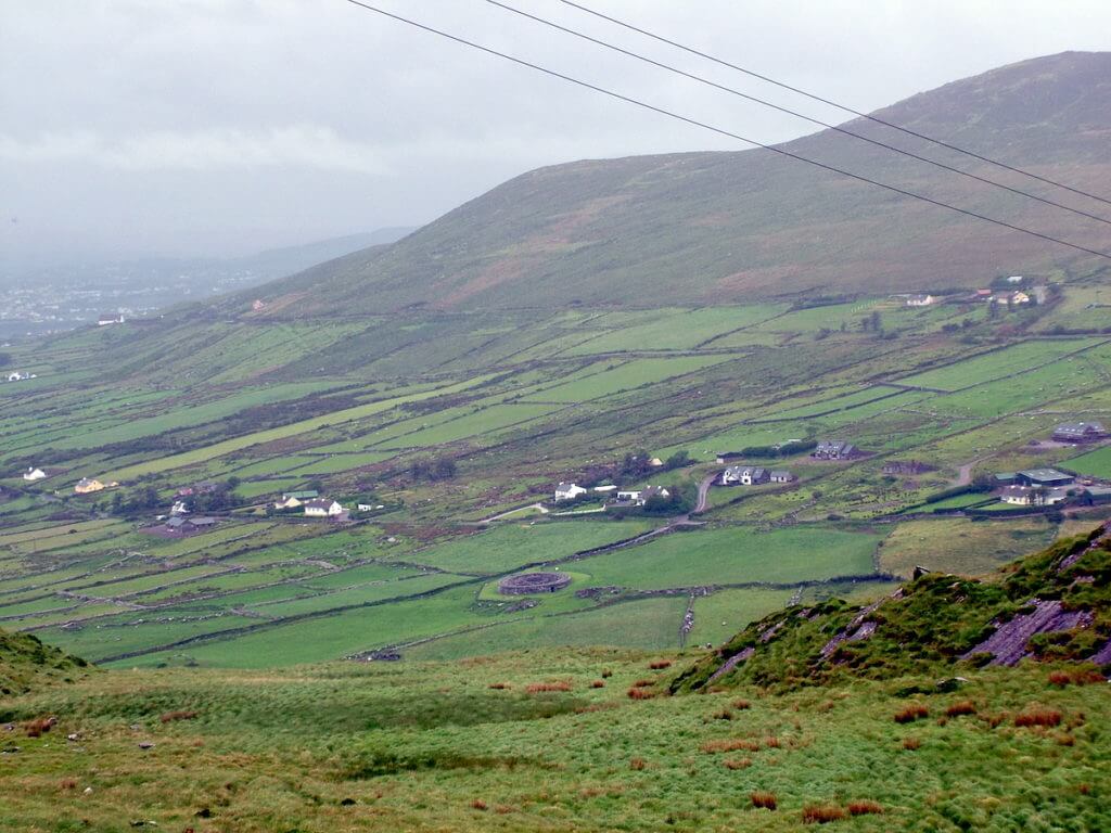
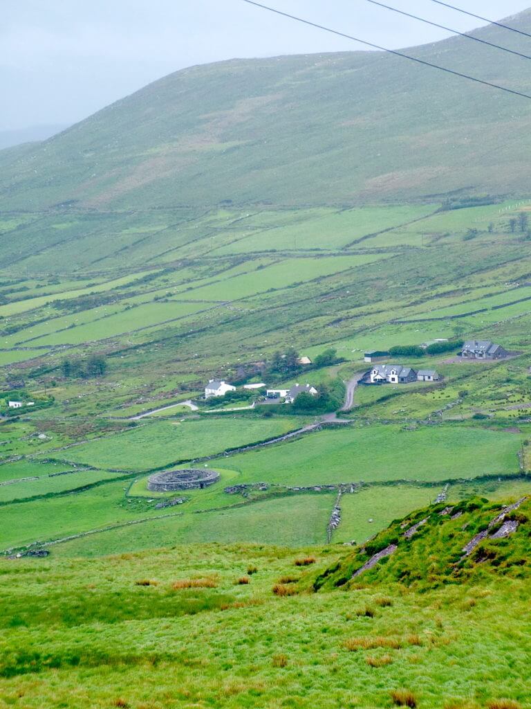
With the improved visibility, it was possible from our lofty perch to pick out Loher Cashel, a drystone walled ring fort positioned in between drystone fences at the centre of a large green paddock. Sitting pretty on the foothills of Beenarourke and Farraniaragh Mountain, the Loher Cashel overlooks Ballinskelligs Bay and distant Skellig Michael.
Around the 9th century AD, a local chieftain built these defensive walls around his farmstead. The walls are over 2 metres high and 4 metres thick enclosing an area 20 metres in diameter. Inside, the remains of a stone house and farm building still stand above the remnants of earlier wooden structures. As a point of interest, a souterrain or underground tunnel was found beneath the stone buildings, and it may have been used as a hiding spot in pressing times.
Looking south out over Ballingskellig’s Bay, it is easy to see that the chieftain chose the location wisely for Loher Cashel. From its high vantage point, the fort provided a superb view of the narrow channel into the bay, so ships approaching could be seen right away. Stone forts such as this one are common sights across the countryside.
From the other point of view at the Ring of Kerry Lookout, we had astonishing panoramic views of the coastline looking back towards Waterville. Bob and I were swept away by the beauty of the sprawling green fields. Endless miles of drystone walls help break the wind off the Atlantic and provide some protection for the livestock.
We were, at that moment, about halfway around the Ring of Kerry. Continuing northeast towards Kenmare, a parade of changing landscapes was visible through our windscreen, turbulent sea, quiet villages, broad loughs, shady woodlands and tidy hillside farms, all beneath a threatening sky. Climbing into the MacGillycuddy’s Reeks Mountain Range, we knew we were nearing the end of our journey.
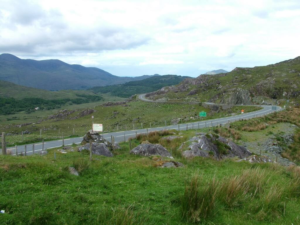
Moll’s Gap is a mountain pass that is at the highest point on the Ring of Kerry with a 260-metre climb. Cut by a glacier through Black Valley 25,000 years ago, Moll’s Gap was named for Moll Kissane, the owner of a shebeen (an illicit alehouse) set up during construction of the road through this rugged stretch of the mountains in the 1820s.
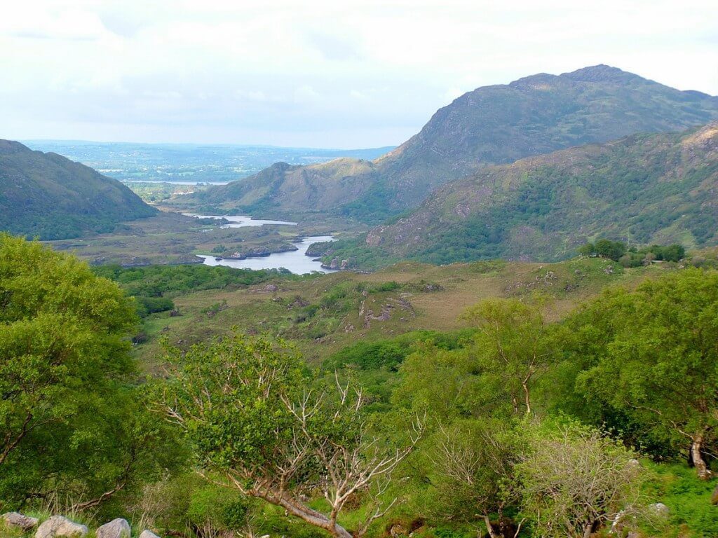
And then, just like that, we were right back in Killarney National Park with a view of the Killarney Lakes. Dubbed Ladies’ View because Queen Victoria’s ladies-in-waiting admired it in 1861, it is one of the most photographed locations in Ireland. From there, it was a short hop back to our lodgings in Killarney. Was the drive around the Ring of Kerry worth it? Absolutely! There is no wonder that visitors dating back to Victorian times have been drawn to this evocative chunk of the Emerald Isle.
Frame To Frame – Bob and Jean

