The Astounding Beauty of Glenariff Forest Park in Northern Ireland

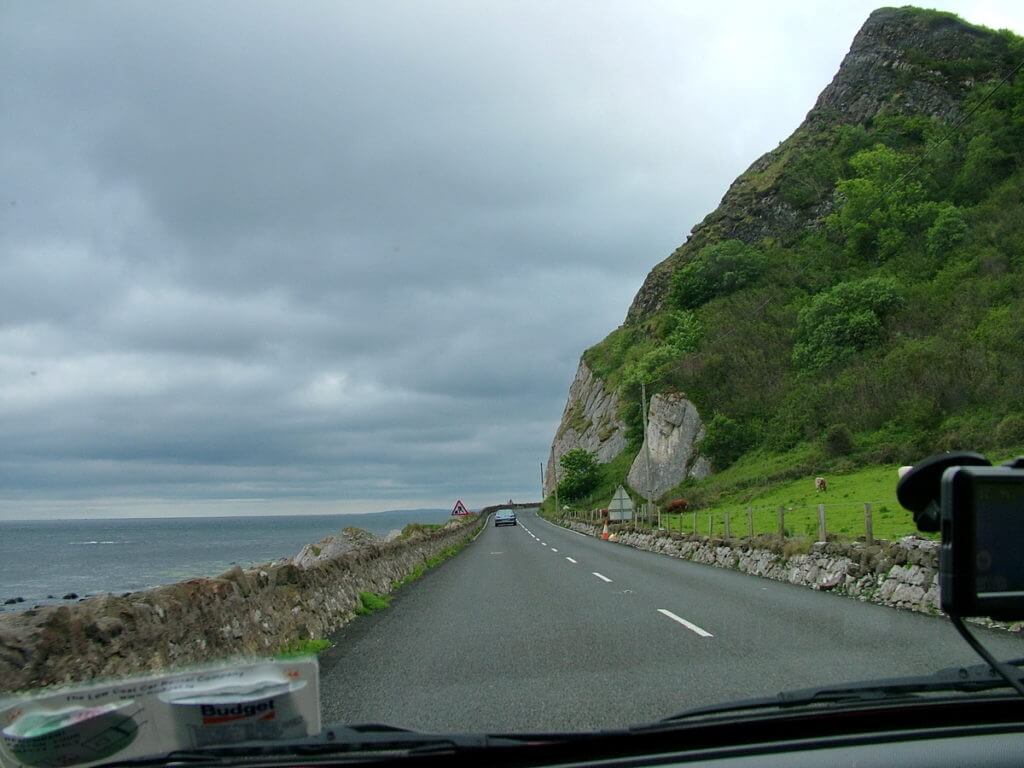
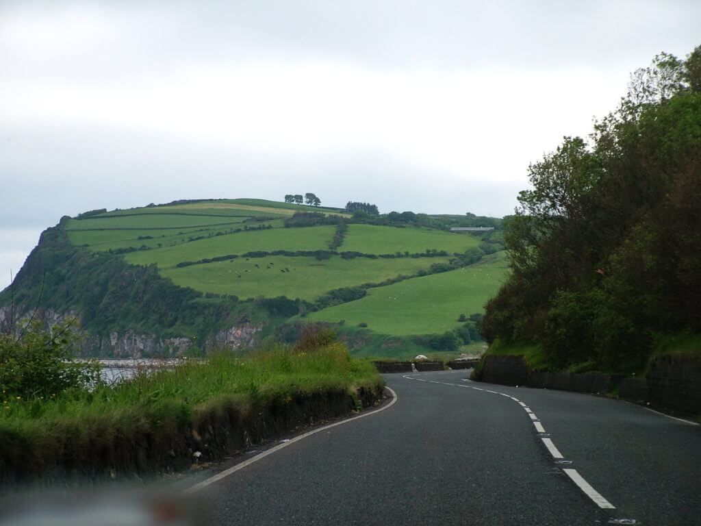
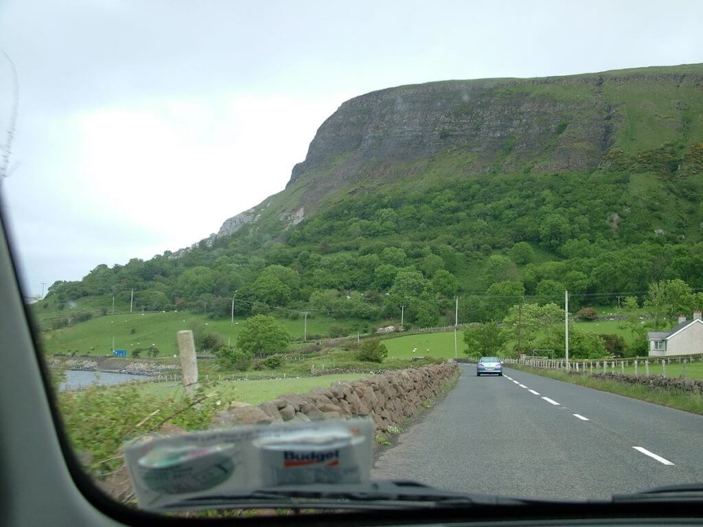
As Bob and I made our way towards Glenariff Forest Park in Northern Ireland, the previous day’s damp weather persisted with dark clouds shrouding the rugged cliffs along the Causeway Coastal Route. We were off to see Glenariff, the Queen of the Glens.
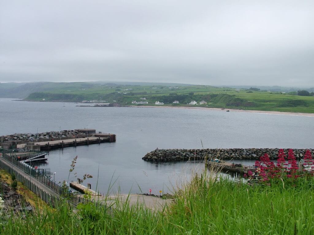
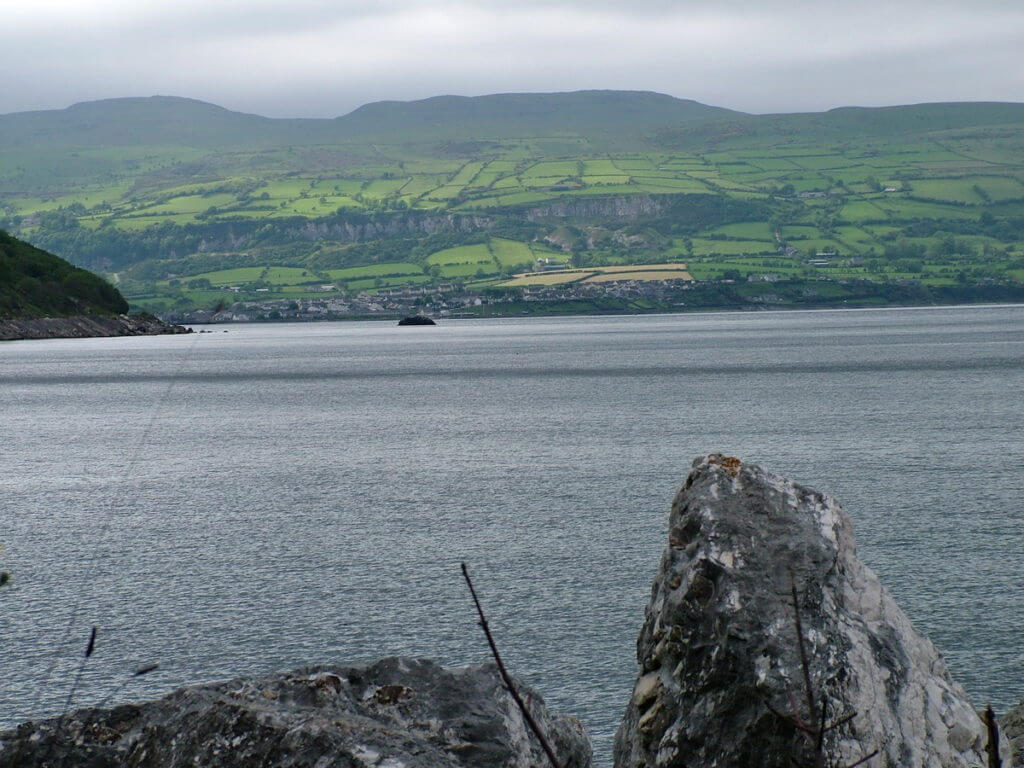
Tucked into the narrow shoreline at the base of the Antrim Plateau were countless small harbours and villages.
Turning inland, we noted that the architecture in many small towns differed considerably from that in the Republic of Ireland. Main streets were lined with businesses behind higher facades than those in the towns of the south. Terraced houses became a common sight, varying from the staunch and stark to tidy buildings in pastel shades.
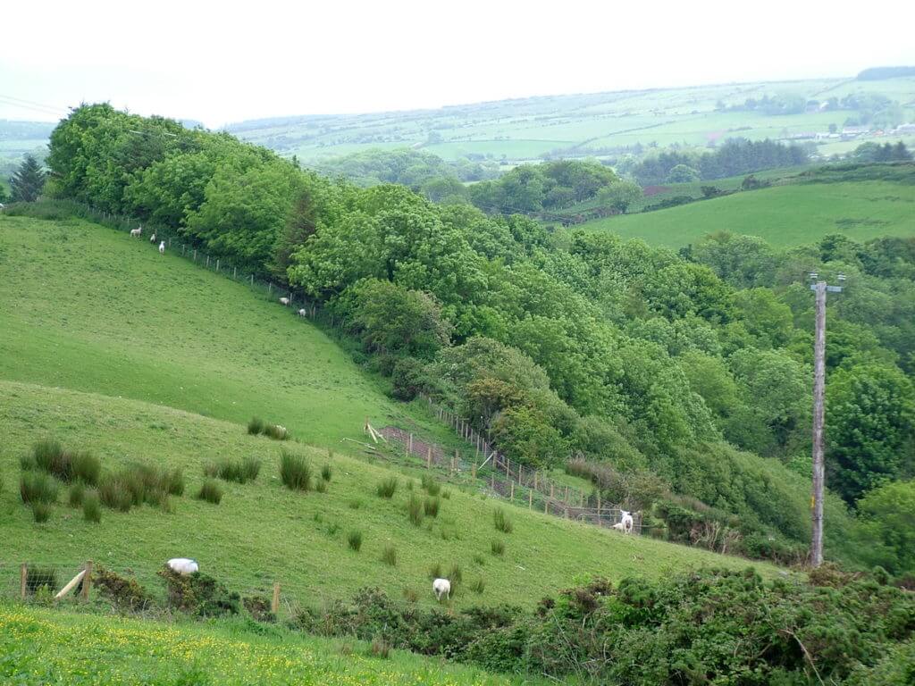
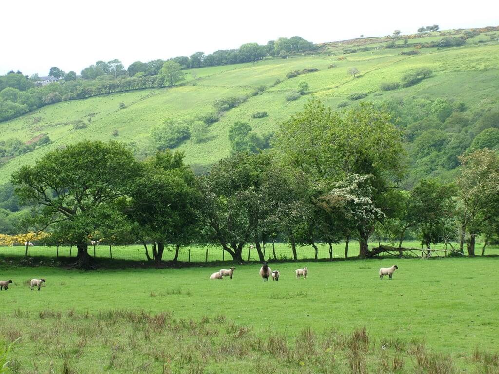
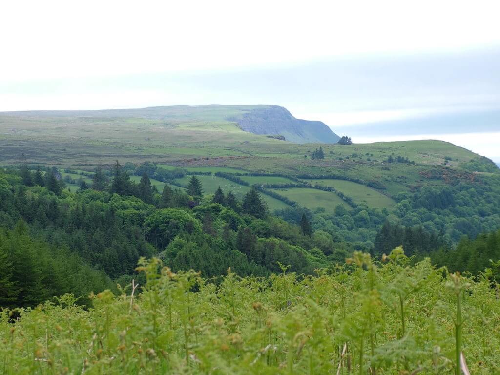
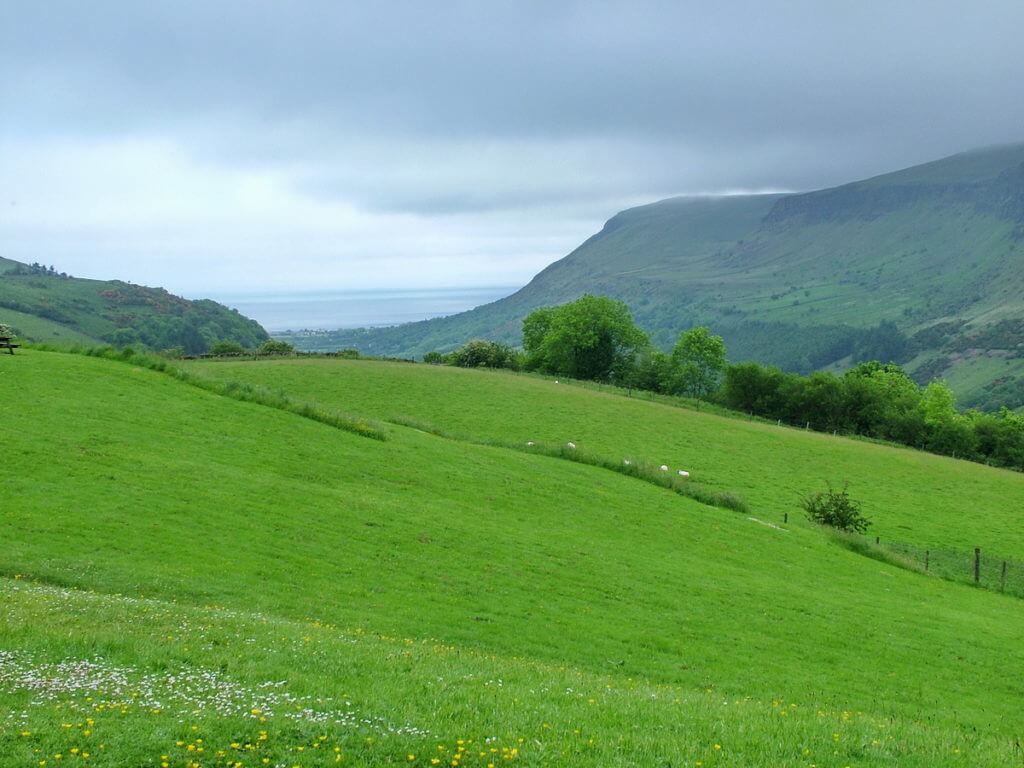
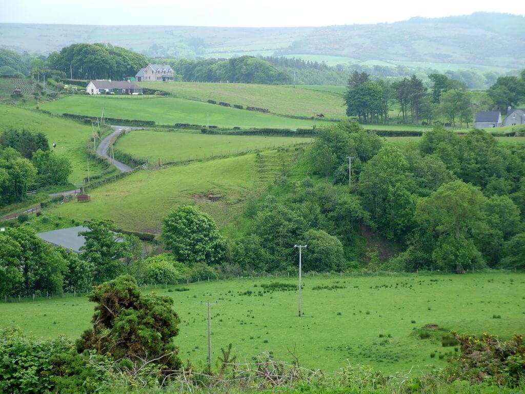
Suddenly, sunshine nudged its way through the offending clouds and cast brilliant light onto nearby fields. We later learned that this alignment of fields on the hillsides and floor of the valley is referred to as a ladder farm.
Ladder farms are unique to Glenariff in County Antrim. The fields are arranged to run up the side of the valley thus providing each farming family an equal share of productive, fertile land and steeper land that is used for grazing.
As the roadway brought us nearer Glenariff Forest Park, already we got a glimpse of the area’s claim to fame. The Antrim Plateau encompasses the Glens of Antrim, and sweeping down through the coastal cliffs at the edge of the plateau are the nine deep, u-shaped valleys called the Glens of Antrim.
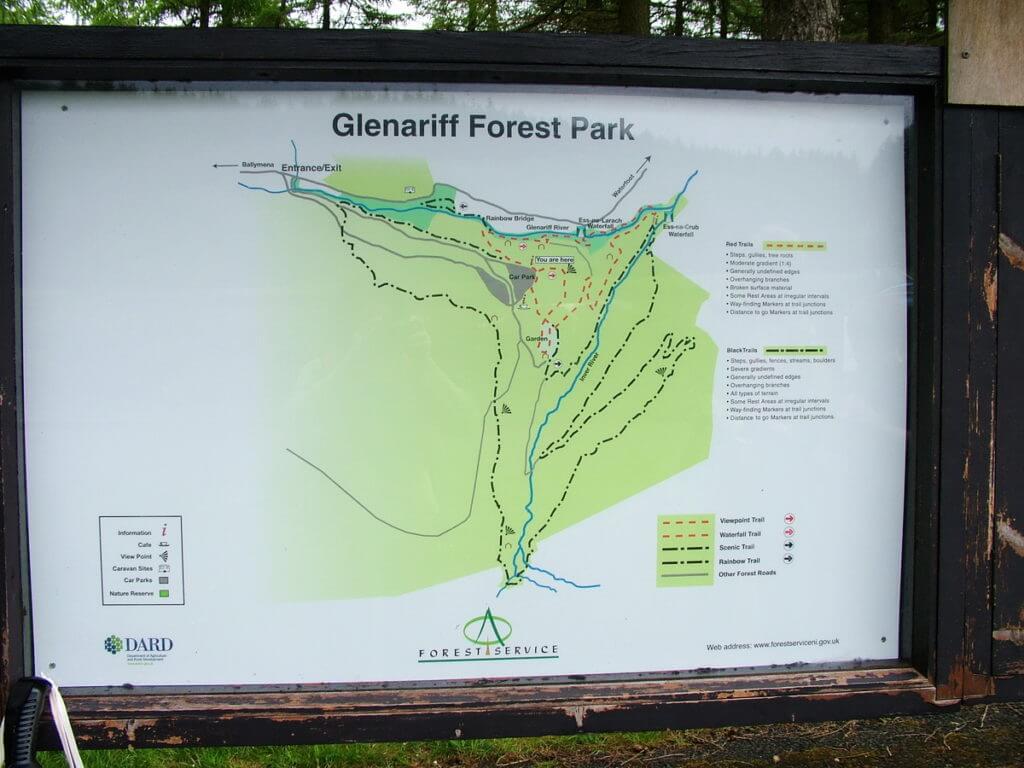
Upon arrival at Glenariff Forest Park, Bob and I had a quick look through the modest visitor centre and perused the map of trails.
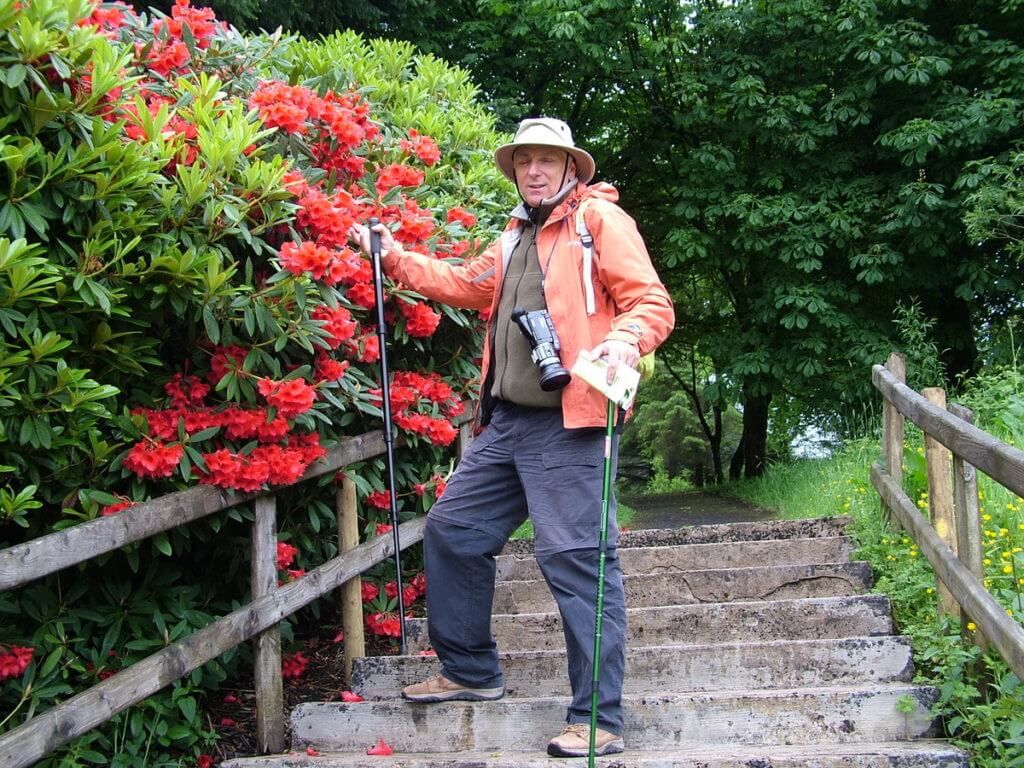
We began by taking a short stroll through some ornamental gardens.
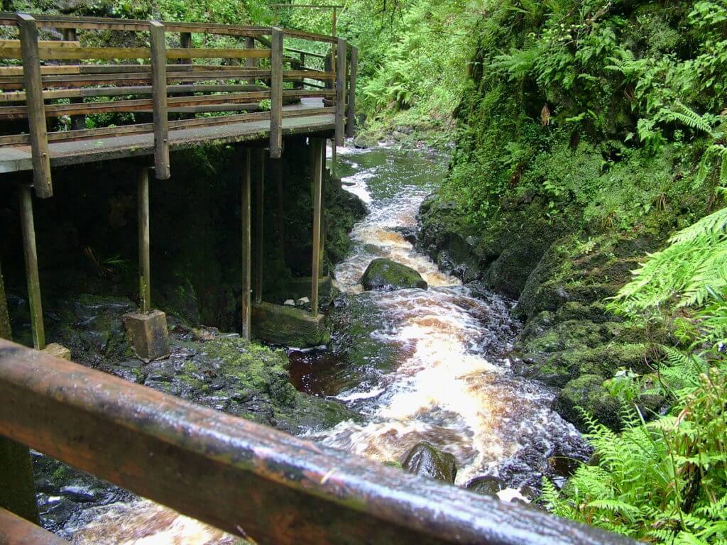
Two rivers, the Glenariff and the Inver, bisect Glenariff Forest Park. Within its tranquil settings, there is a 3-mile long Waterfall Walkway in the narrow gorge cut by the Glenariff River.
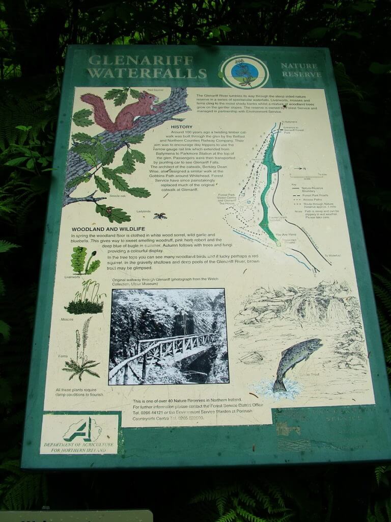
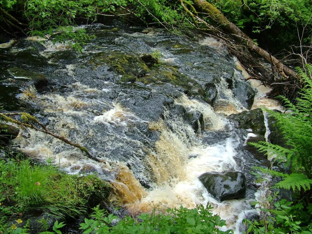
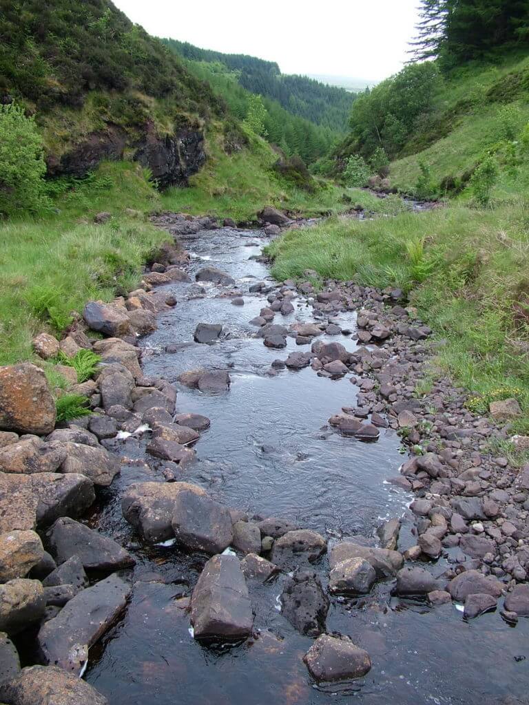
The Glenariff River meanders down through the Park until its peat-stained waters tumble over the first precipice. The musical sounds of the fast-flowing water create an idyllic atmosphere.
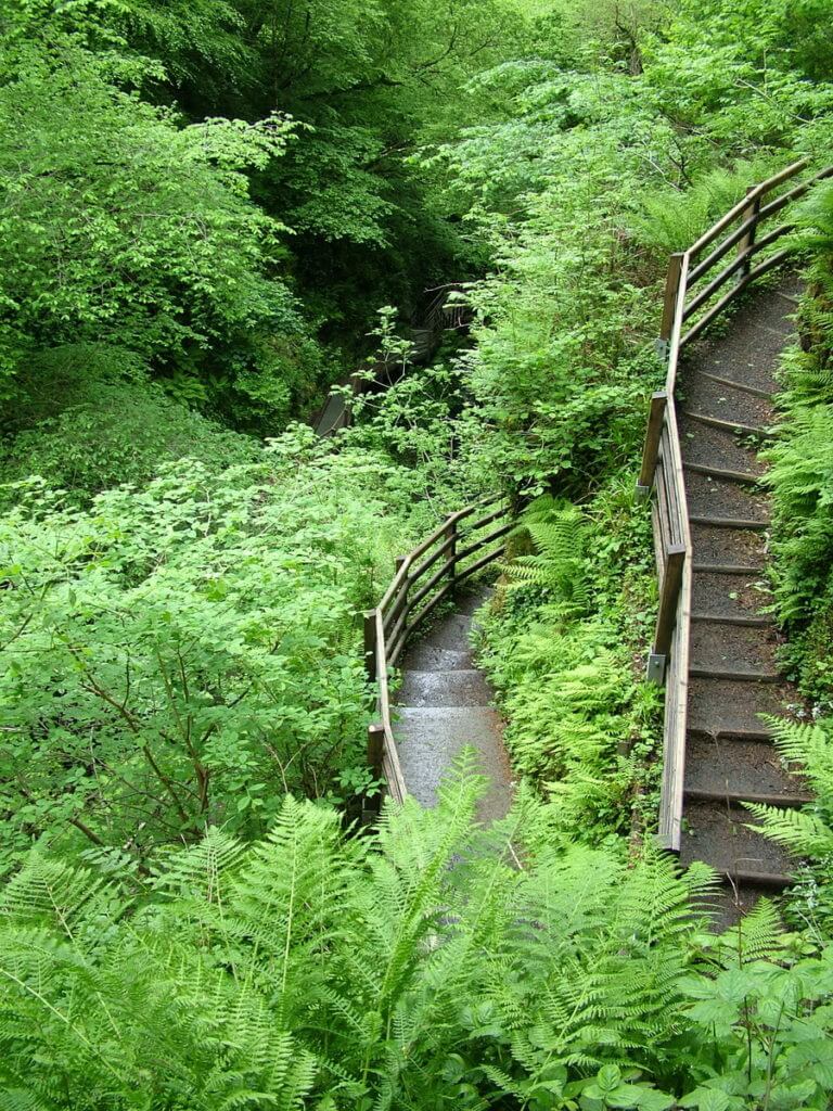
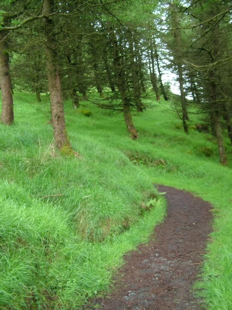
Bob and I navigated the long, winding descent through the ancient woodlands on a rustic set of switchbacks.
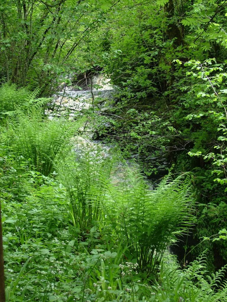
There amid a proliferation of ferns, a number of viewpoints enabled us to peek through the canopy of trees at the source of the sweet sounds.
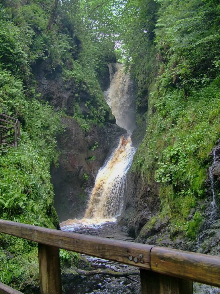
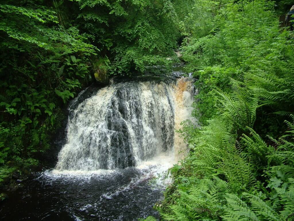
A series of catwalks and footbridges transported us into the enchanted world of Glenariff and brought us first to Gray Mare’s Tail Waterfalls. Also referred to as Alt-na-gowna or Ess-na-larach, this is the tallest waterfalls. In its quest for the sea, the fast flowing water plunges from the upper plain into the rocky, steep-sided gorge.
The rushing water of the Glenariff River, brown from passing through upland bogs, continues its reckless journey amid the moss-covered rocks. In its hurried quest to reach the sea, the river has carved its path into the hard basalt of the glacial valley.
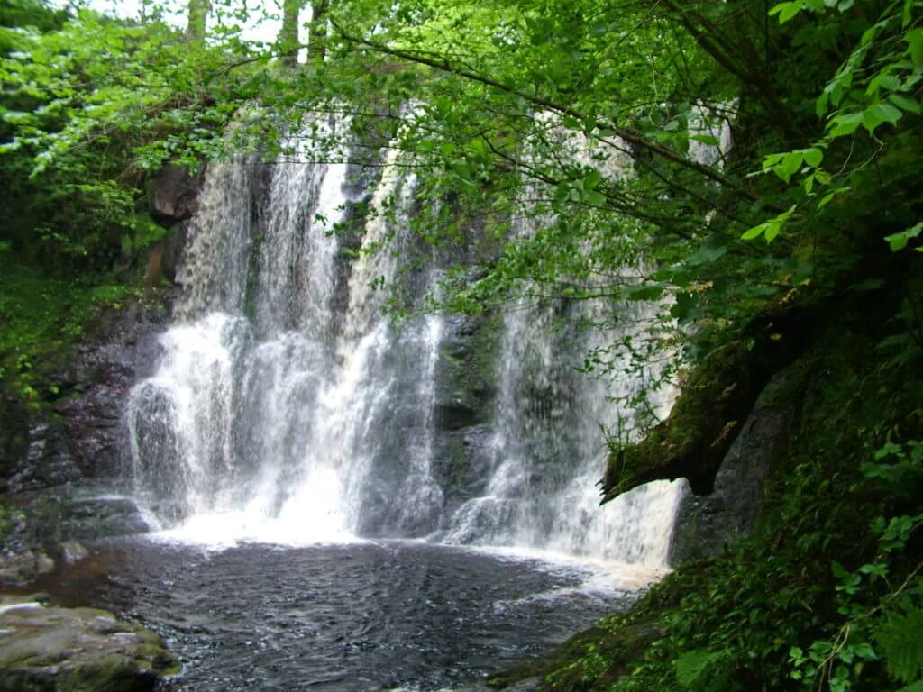
Finding another drop-off, the Glenariff River spread wide and spewed its frothy liquid into a plunge pool surrounded by broad-leaved woods and feathery fronds of native bracken. The ephemeral foam gave way to rainbow-coloured bubbles that circled with the current.
After crossing the Glenariff River on a narrow footbridge, Bob and I started an uphill climb that brought us to another river crossing, this time over the Inver River. There, just above the junction of the two rivers, we had a wonderful view of the lowest of the three most beautiful waterfalls, Ess-na-crub. Meaning “the fall of the hooves”, the analogy directly relates to the thunder of the tumultuous water.
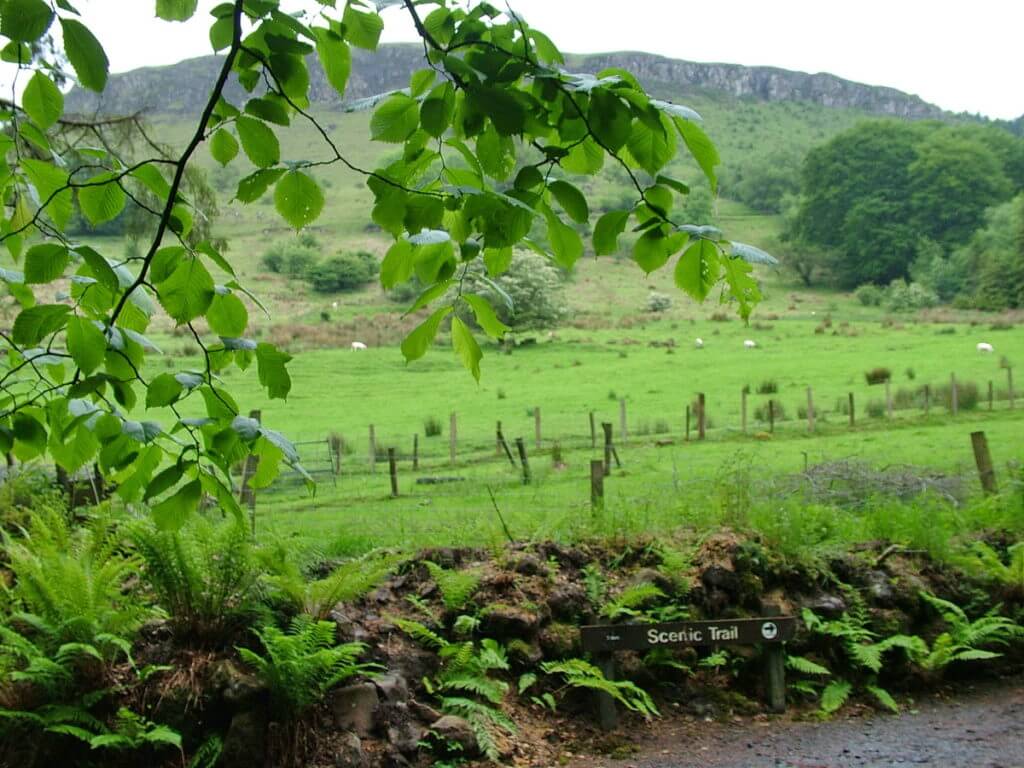
In Glenariff Forest Park, there are 4 connected trails that create circular routes. The Scenic Trail is five miles long and conducts hikers to the walk’s highest point on the moorlands.
Undulating upwards as we followed along the Inver River, the trail passes through impressive ancient woods, part of the Portglenone Forest.
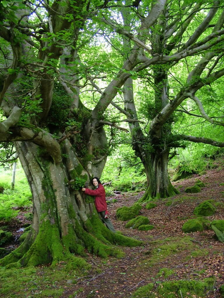
Known to have the biggest, densest forest of Oak Trees in the country as far back as 1600, the woodlands are still home to some massive, old trees.
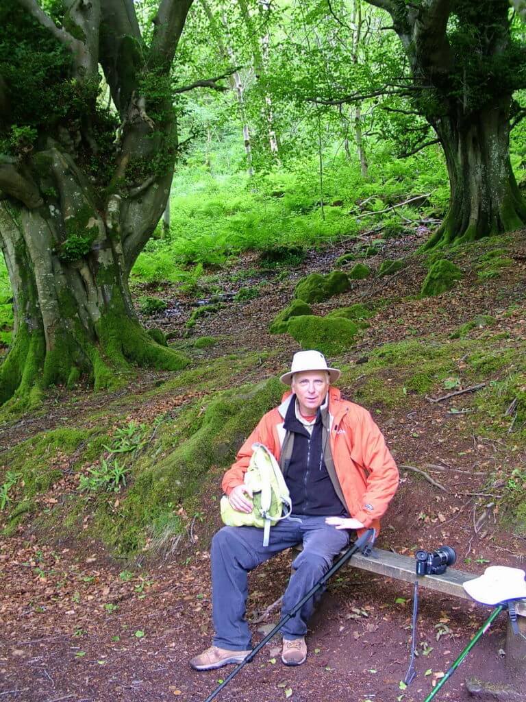
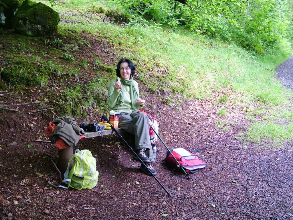
There in the grove of towering trees, Bob and I decided that it was time for a rest, some nourishment and to commune with nature.
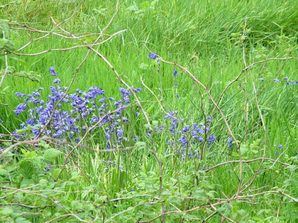
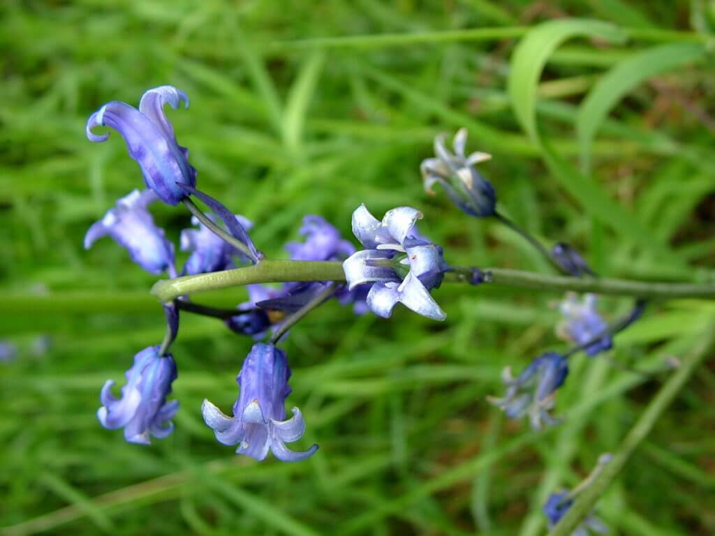
Though a little late in the season, still small pockets of Bluebells bloomed in the undisturbed woodland being one species of wildflowers that thrive under a canopy of broad-leaved trees.
During the months of April and May, the forest floor is awash with a carpet of these nodding heads. At that time, millions of flowering Bluebells create a blue haze for as far as the eye can see.
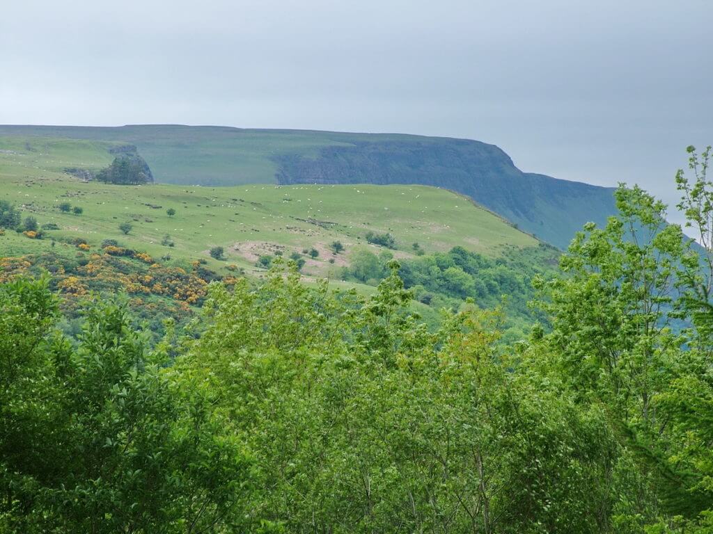
Our ascent was steep and suddenly opened up to a splendid view of the dramatic escarpments that brought fame to Glenariff in 1843 when the author Thackeray nicknamed Glenariff “Little Switzerland”.
The area around the Portglenone Forest also comes within the protection of the Glenariff Nature Preserve and includes Parkmore Forest as well as three small lakes.
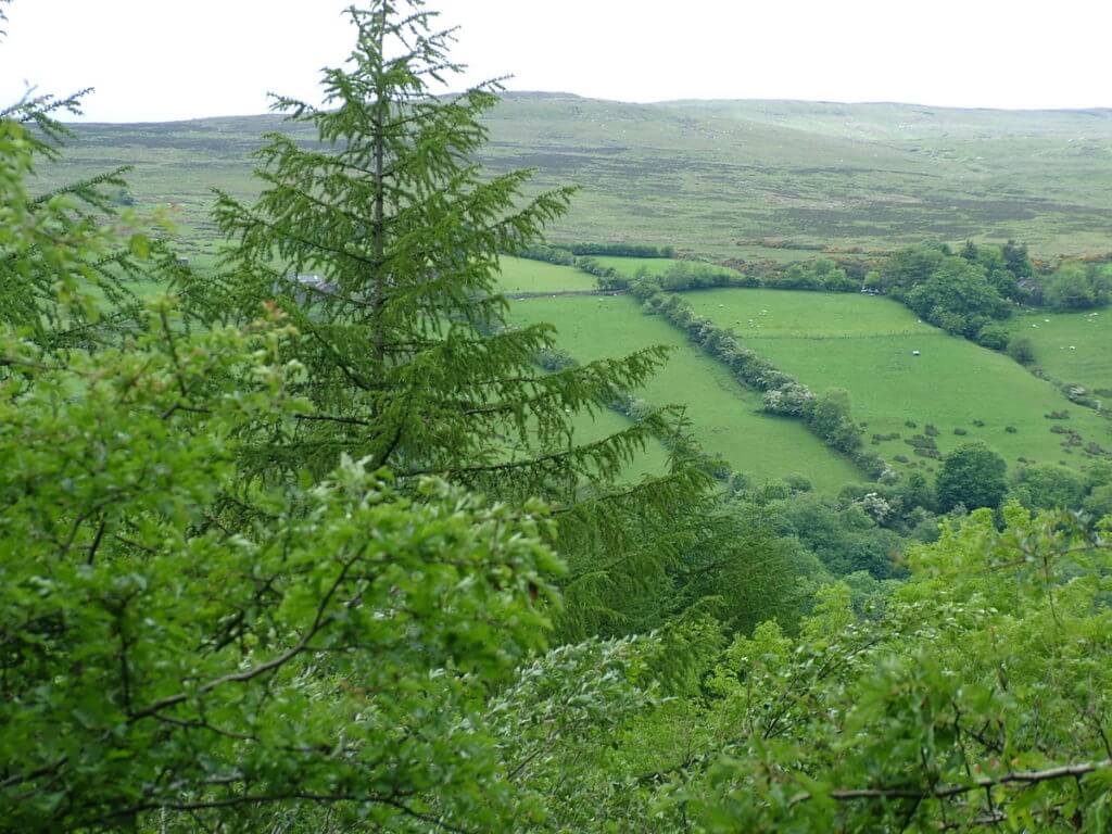
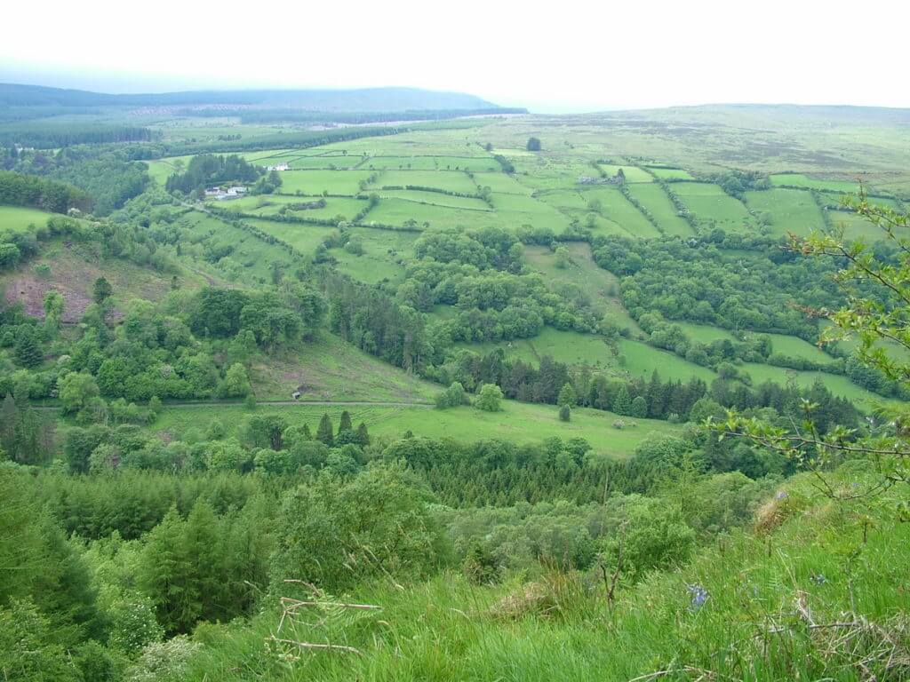
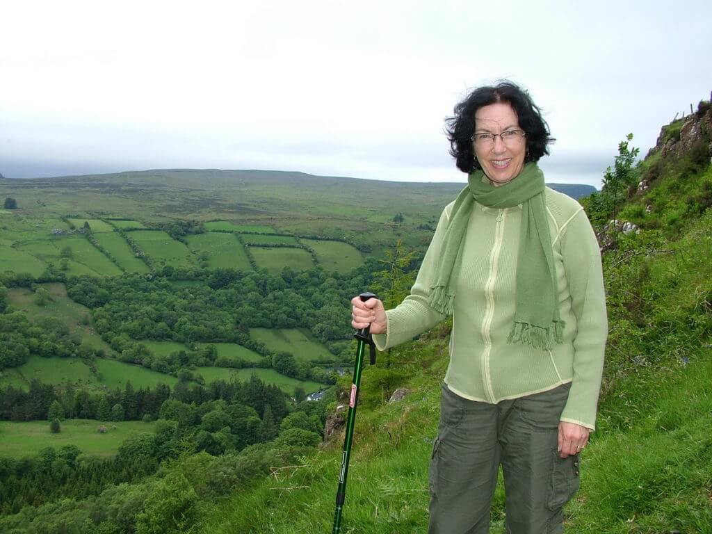
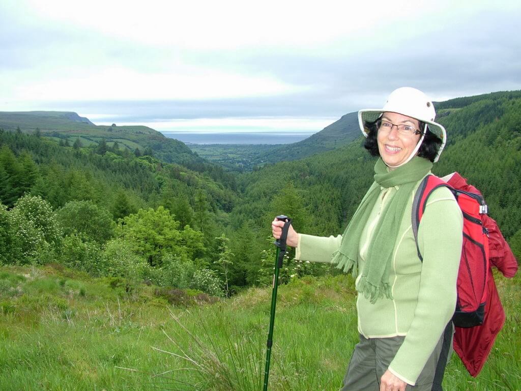
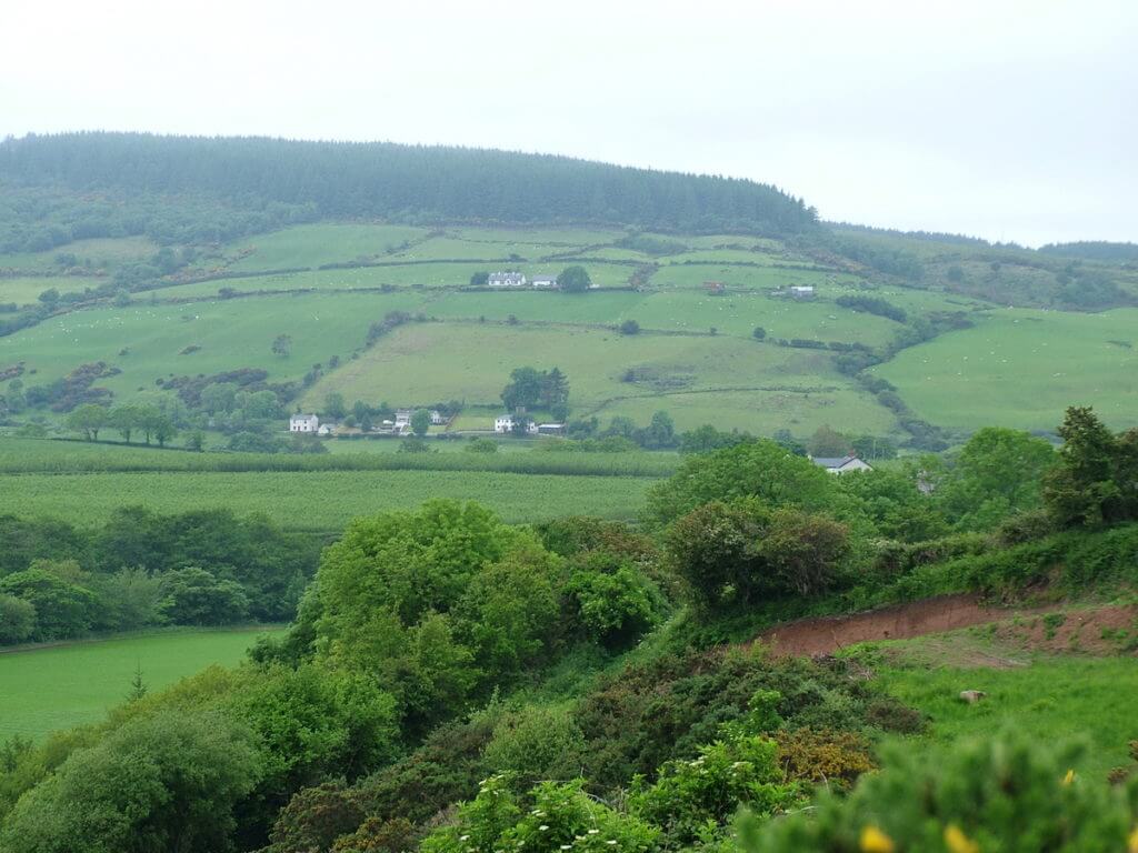
Stepping further along the trail, Bob and I had exceptional views of the ladder farms that did actually look like ladders running up the sides of the valley.
The “rungs” of each ladder are created by the field boundaries and have the effect of striping the land which is contrary to the more open, pre-Famine scene when the land was farmed cooperatively in an open concept.
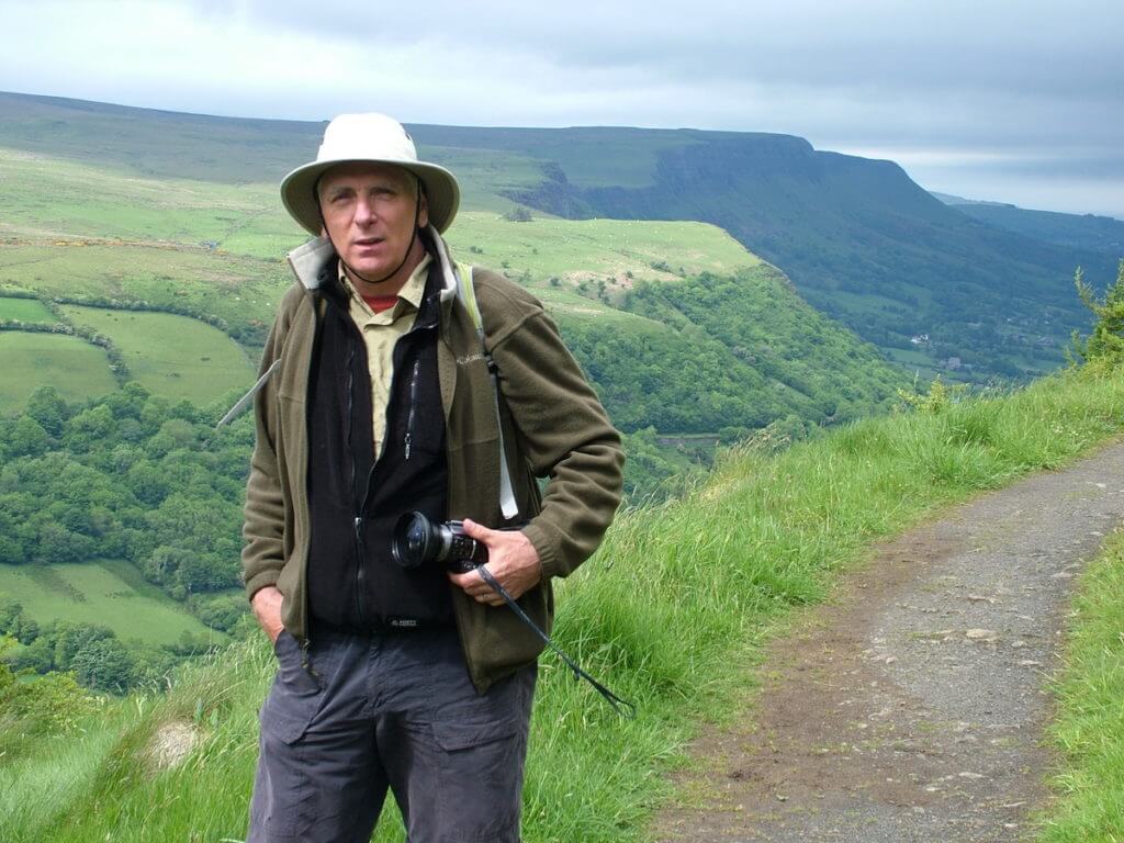
As the trail rounded a bend, Bob and I started to get a better impression of the scope of the Antrim Plateau and the scale of the u-shaped valley that was shaped by a glacier 20,000 years ago.
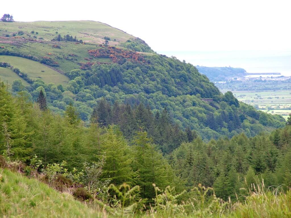
Where we found the headwaters of the Inver River, a narrow valley gave us a glimpse of the dense evergreen forest marching up the slopes of the Glen.
In the dense shade of Sitka Spruce, Norway Spruce and Douglas Fir, the forest floor was carpeted with Shamrocks. Where an opening in the canopy let dappled light reach the earth, the land was overgrown with knee-deep blades of grass all dripping with morning dew. Stray rays of sunshine found many of the tiny droplets and caused fleeting rainbows to materialize and then vanish in the blink of an eye.
Walking in the footsteps of Bob’s ancestors through what used to be the wildest and most remote part of Ulster resonated with us, but it was the sensational views in that most beautiful woodland Glen that totally stirred our souls.
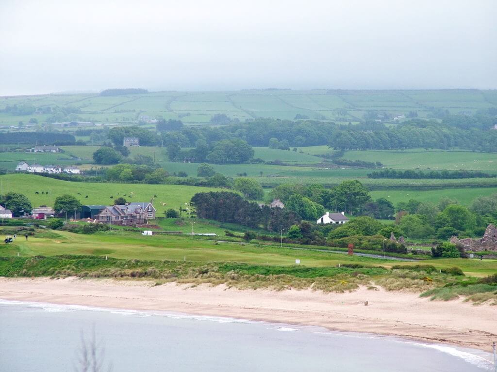
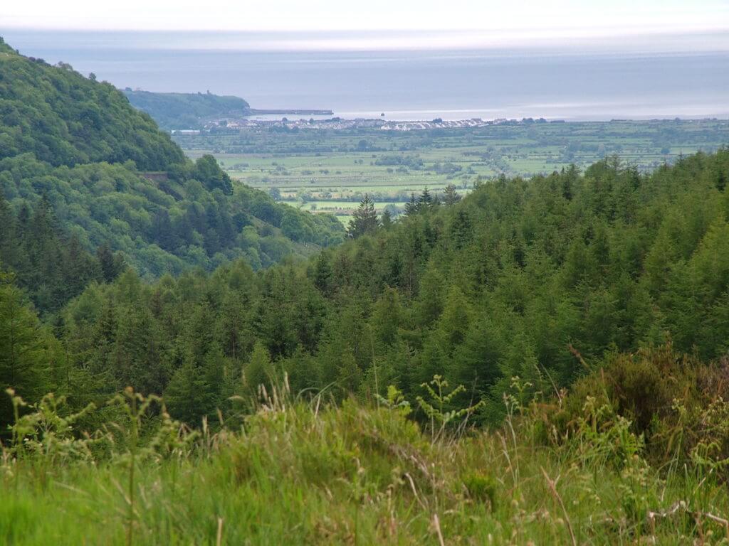
Approaching a designated look-off, we got a sneak peak at the community of Waterfoot at the bottom of the Glen where the valley meets the sea.
Tucked into the rich coastline of Red Bay, Waterfoot is established as a cozy and prosperous village of several hundred people.
From a lookout point providing a panoramic view of Glenariff Glen, it was possible to get a hazy view of the Mull of Kyntire in southwest Scotland across the stunning sweep of the ancient Sea of Moyle.
Glenariff Forest Park encompasses over 2,400 acres of natural woodland, and it was by walking the serene forest trails that we had an intimate look at the Queen of the Glens. For Bob and me, it certainly exemplified Northern Ireland’s emerald splendour.
It was interesting to learn that each of the nine Glens of Antrim has a name and a history of its own. Glenariff is referred to as The Queen of the Glens because it is the largest and deepest of the Glens, but its name means Valley of the Ploughman.
With ladder farms stretching from the rivers in the valley bottom right up to the top of the plateau, we could easily see that there are vast areas of arable land that led to the naming of the Glen.
Back in the wide, open lower part of the Glen, Bob and I reflected on our immersive experience in Glenariff. No wonder stories of legends and ghosts, fairies and little people abound there. Adding to the magic of the mountain was the haunting silence at the top of the Plateau, the thunderous roar of the waterfalls, and the secret whisperings of the trees. This was a place we would never forget.
It was in 1834 that 28 miles of Coastal Road were blasted out of the chalky cliffs of the Antrim Plateau giving access to the nine Glens of Antrim. It is in Larne, 20 miles south of Glenariff, where the first Glen breaks through the rugged cliffs of East Ireland.
As we traveled in that direction, Bob and I craned our necks for a glimpse of some of the 100-metre high cliffs at the foot of another Glen.
And the next thing you know, we arrived in Portadown. More exploration would soon take place.
Frame To Frame – Bob and Jean


Great pictures as usual. I’d love to go backpacking around there, exploring the old castles, meeting and talking to the people, see everything. You just can’t take a bad or dull picture in the countryside over there. I downloaded the “Dublin Radio Stations” app on my Chromebook and listen to that all the time.
Thanks so much for taking the time to comment. We thoroughly enjoyed our time exploring the region.