A Wind Battered Hike On Hadrian’s Wall
Bob and I were eager to get to Hadrian’s Wall in England, but we wanted to have a whole day to freely explore and experience it. The hours spent in Barnsley and Darfield looking into my family’s past left us with no time to visit the Wall that same afternoon.
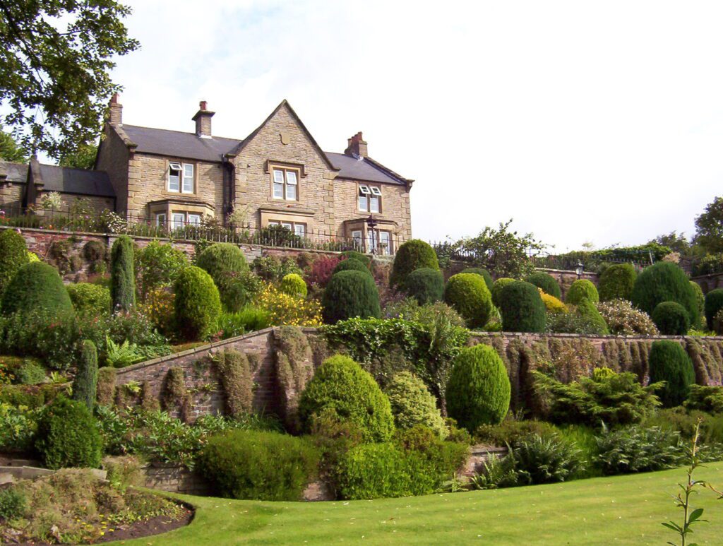
In order to put us within a short distance of Hadrian’s Wall the next day, we decided to spend the night in Haltwhistle. If ever a place name could conjure the image of a train stop, it is Haltwhistle. It was there that Bob, our son and I found most charming accommodations at Ashcroft Guest House, a one-time Victorian vicarage.
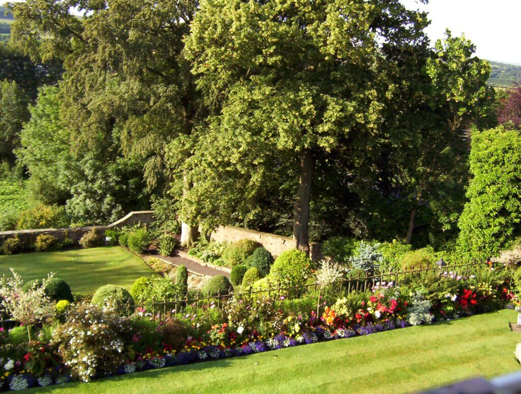
Being in the popular vacation area of England’s Lake District, we were advised by our hostess to promptly secure accommodations for the next night or two because the upcoming weekend was the busiest of the year. While Bob looked into securing a room at Langley Castle, our son and I meandered through Ashcroft’s flower gardens.
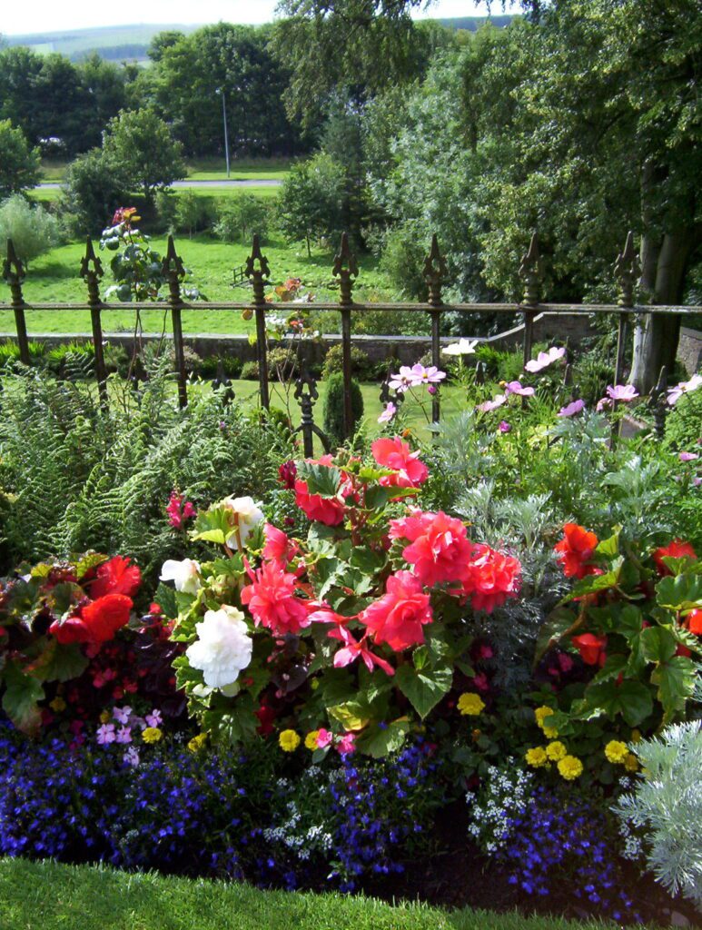
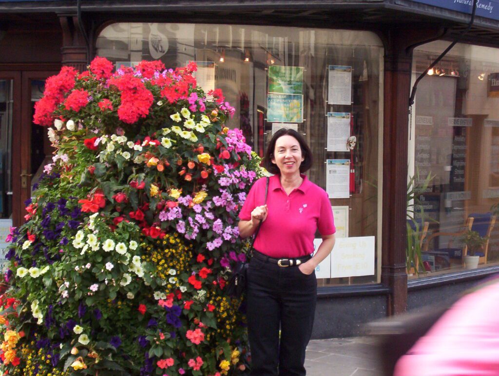
Ashcroft has noteworthy gardens that have earned them prizes in local garden competitions. One corner of the property is designated as Geoff’s garden. Geoff plants thousands upon thousands of bulbs each fall, and probably the same number of annuals. An hour or so was well spent meandering through the plantings.
Ashcroft’s gardens were quite striking with some of the Begonias almost 3 feet tall. Let it be said that hanging baskets and planters were seen all across England. I was astounded at how incredibly lush and bountiful they were in every small village.
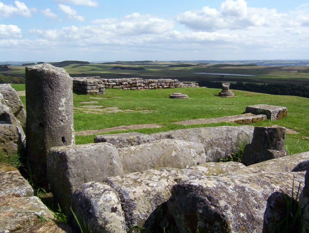
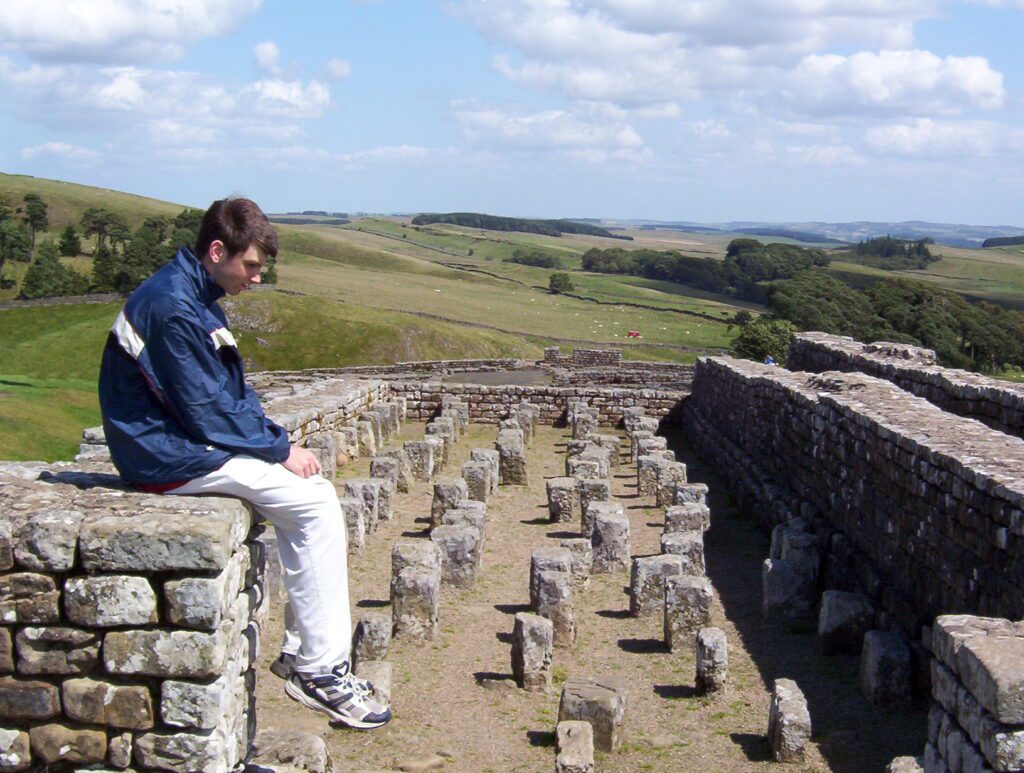
From Ashcroft Guest House, we arrived at Housesteads in no time. The fort is situated on the dramatic escarpment called The Great Whin Sill where Hadrian’s Wall tops the prominent north-facing slope. It is the location of the most complete Roman fort in all of England.
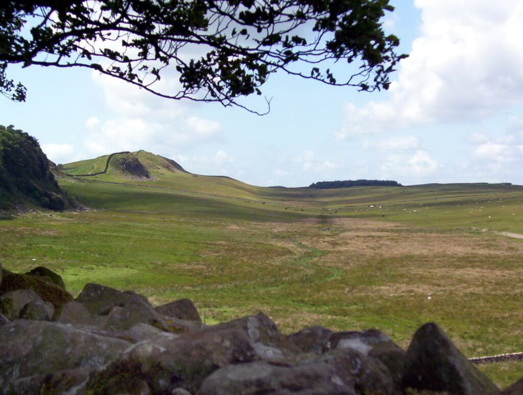
From Housesteads, commanding views were had of the surrounding moors. Looking out towards the horizon, over the countryside that the Picts once called home, we understood why the Roman Emperor Hadrian commissioned the building of Hadrian’s Wall. It played a defensive military role along the boundary between Roman Britannia and the unconquered Caledonia to the north.
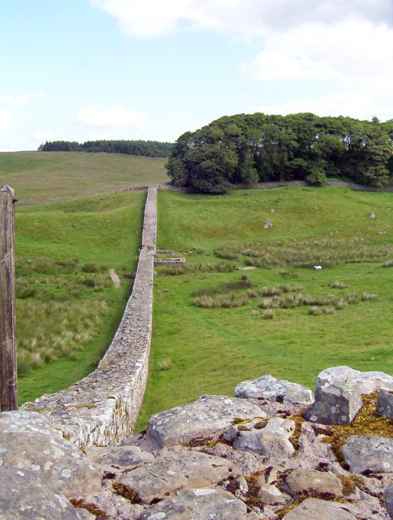
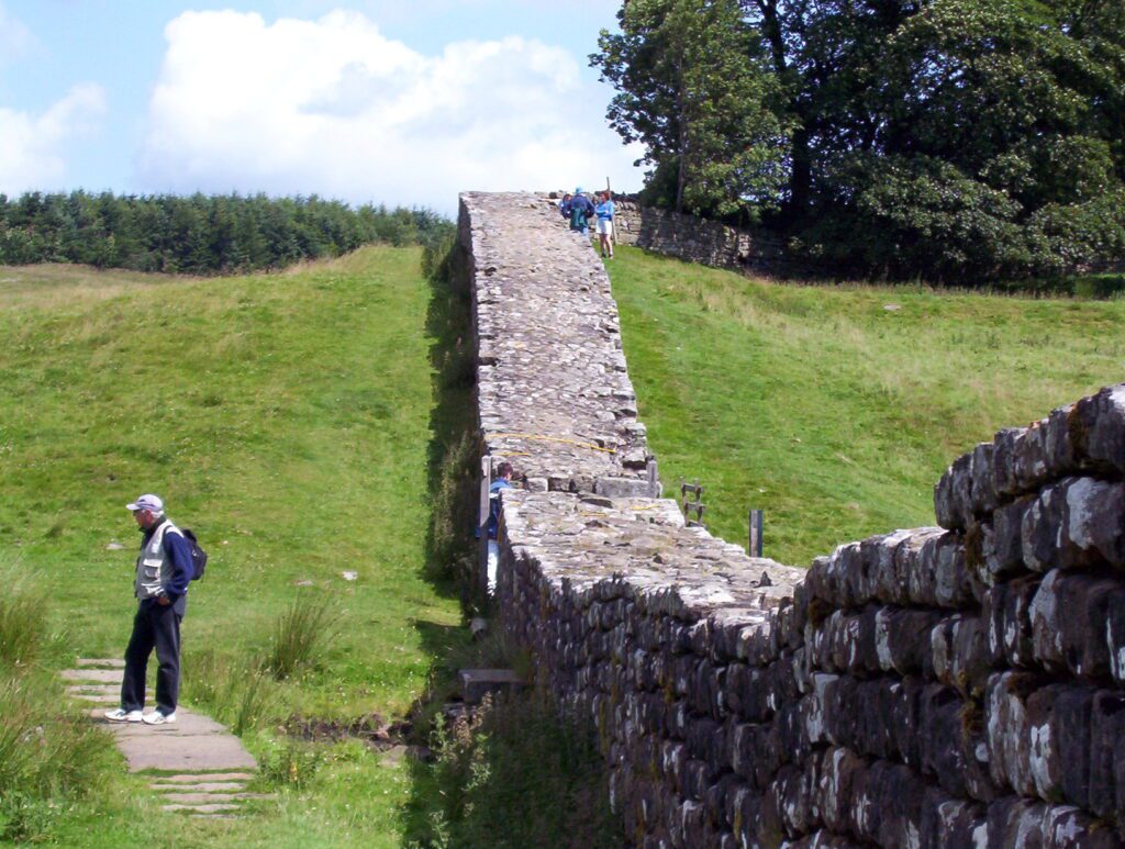
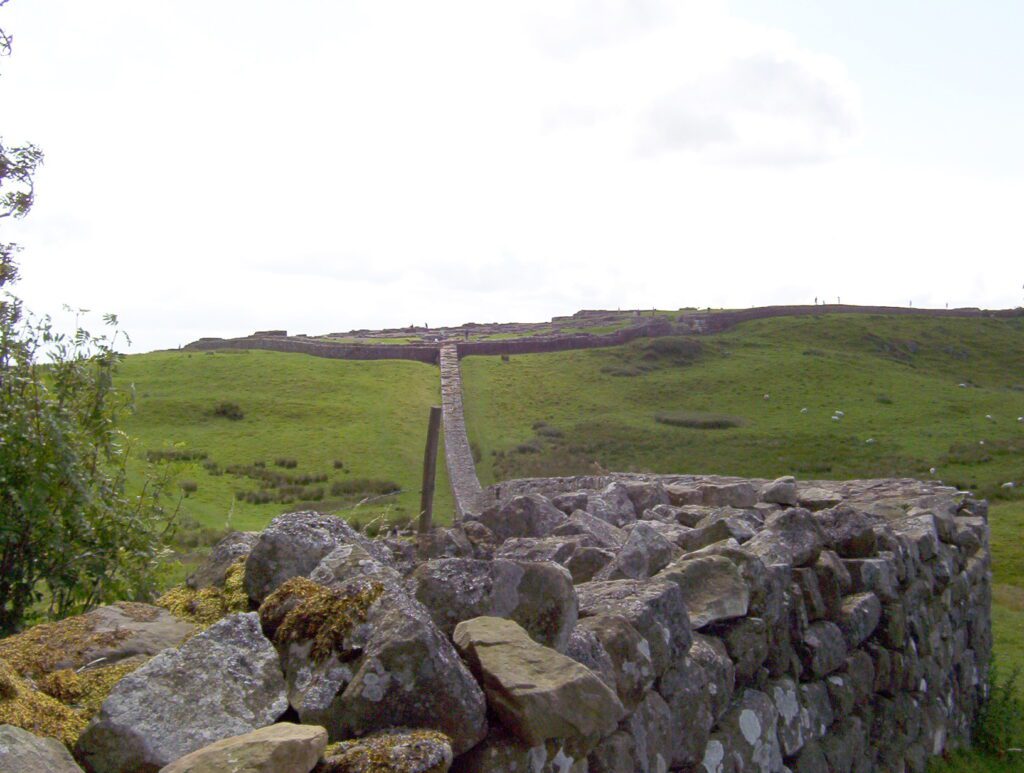
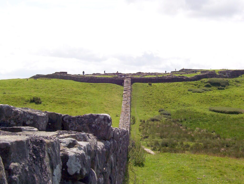
Sections of Hadrian’s Wall are more intact in that hilly central section of the country, whereas in lowland regions, the stones were repurposed for local roads and farmhouses. Hadrian’s Wall Path between Steel Rigg and Chollerford is the most popular segment to walk. The three of us set off from Housesteads in an easterly direction towards Sewingshields Milecastle 35, a distance of 2 miles.
Hadrian’s Wall stretched across the whole width of the island for a total distance of 73 miles. It was designed as a barrier to keep out raiders from the troublesome tribes to the north. Initially, the Wall was built to a width of 10 feet and was at least 12 feet high.
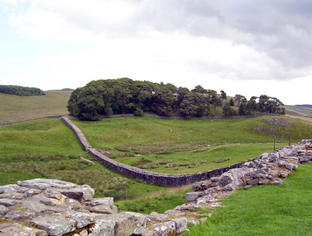
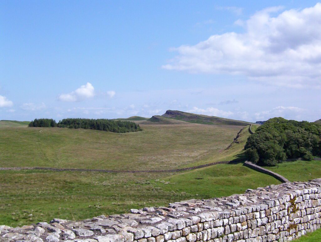
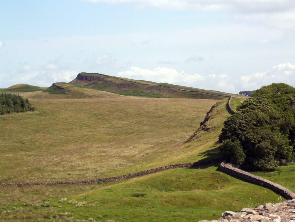
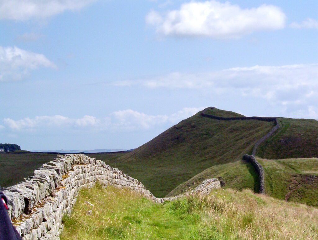
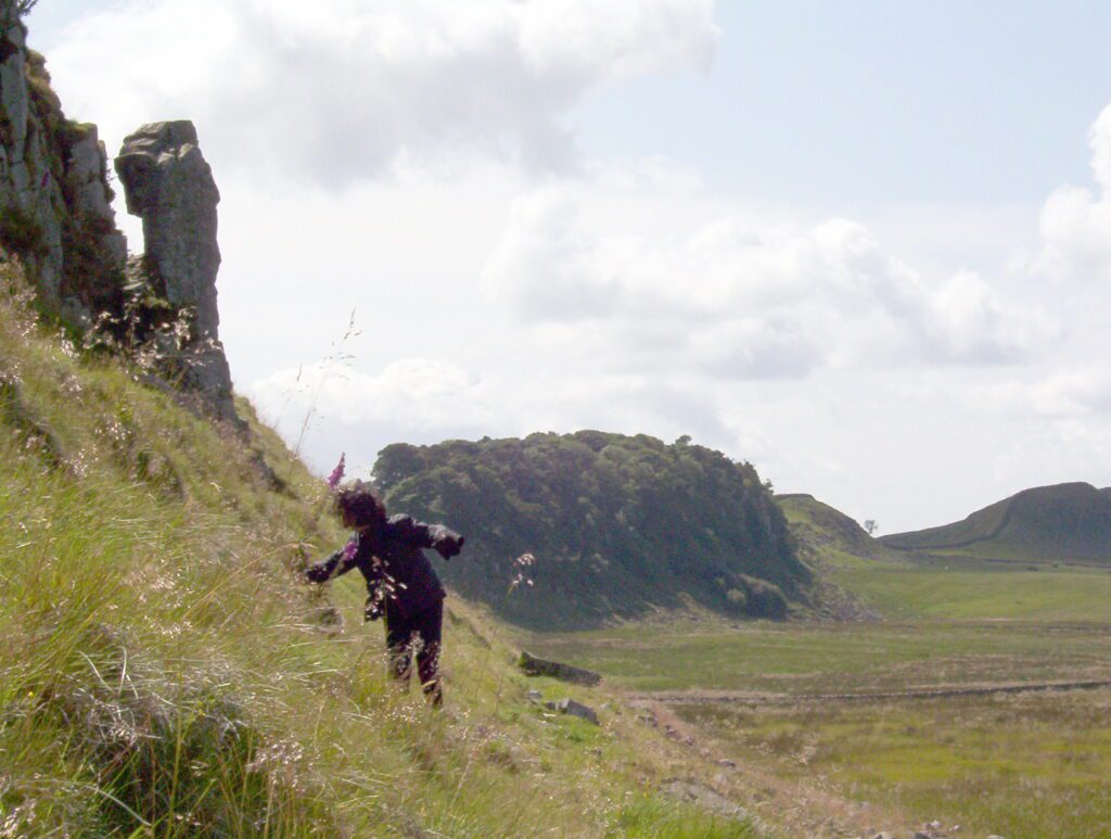
On this section of Hadrian’s Wall Path, the trail is continually ascending, and more of the ancient Wall is visible where it clings to the edge of outcroppings such as Hotbank Crags. The placement of the Wall was strategic to take advantage of the high, rocky cliffs of The Sill.
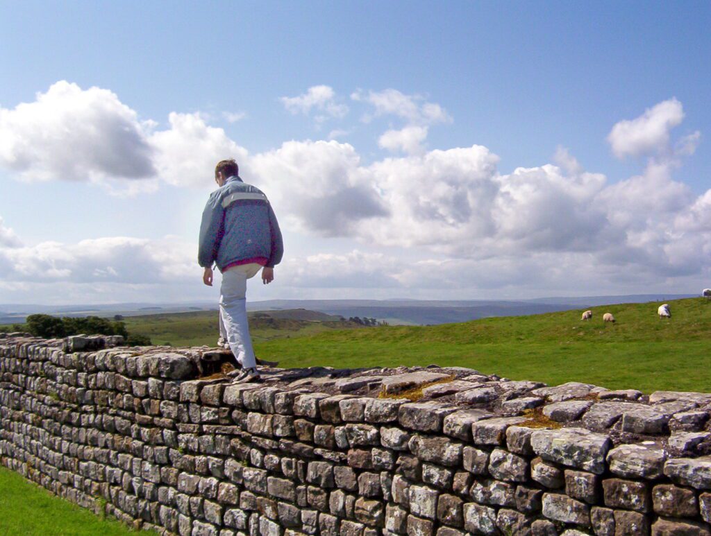
To help preserve Hadrian’s Wall, Hadrian’s Wall Path conducts visitors beside the Wall for the most part. Only in the small wood on the escarpment near Housesteads does the Public Right of Way allow hikers to walk on the crest of the Wall if they so desire. There is a parallel path through the woods, as well.
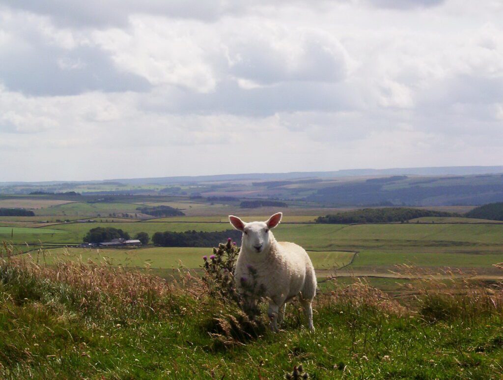
There among the sheep, walking in the footsteps of the Romans of 100 A.D., it was easy to let our minds wander. Even if only in our imagination, we were transported back to that historic era. Knowing this was once where civilization began made the experience very moving and meaningful.
Soon after construction of Hadrian’s Wall began in AD 122, it was decided to reduce the width of the Wall to 8 feet from 10 feet. Depending on the terrain, sometimes the width was even narrower if crags and rivers assisted in a form of natural defence.
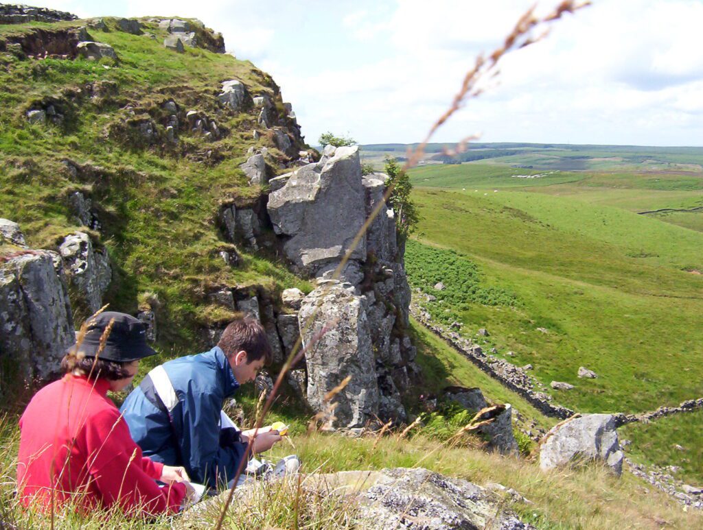
This section of Hadrian’s Wall is most scenic as it wends its way along the natural contours of The Great Whin Sill. The Great Whin Sill is an outcropping of igneous dolerite. Whin is an old northern word meaning “hard”; Sill signifies “a layer of flat rock”. It was a very demanding route.
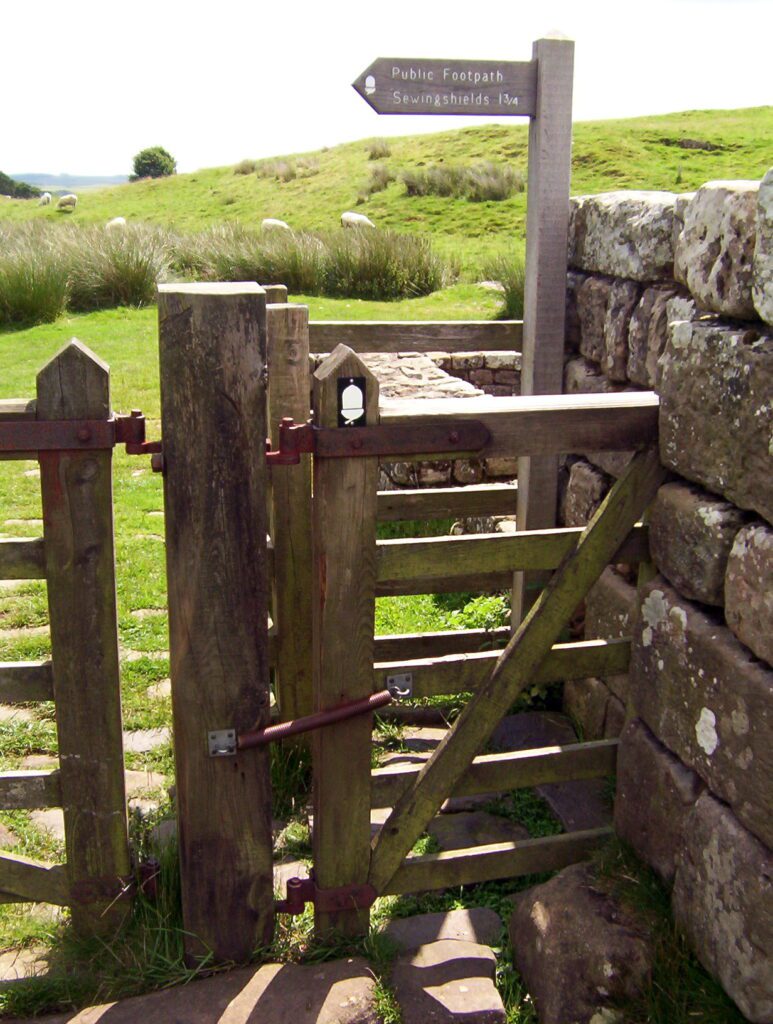
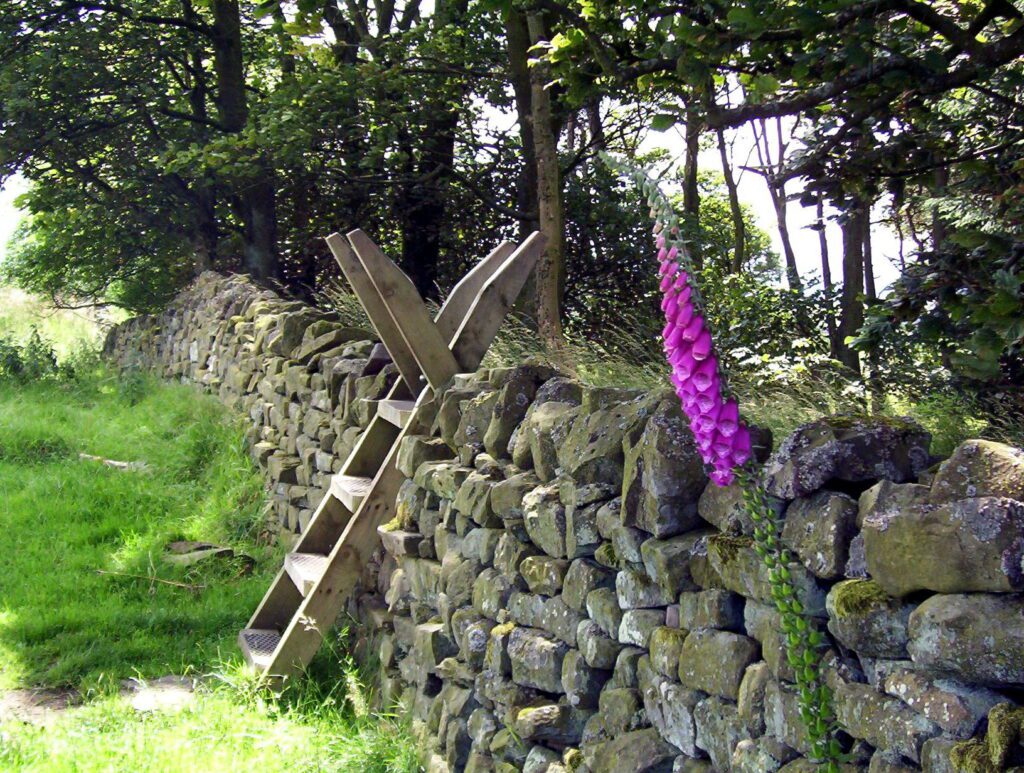
The use of intermittent gates facilitates getting across Hadrian’s Wall and serves to keep livestock from escaping.
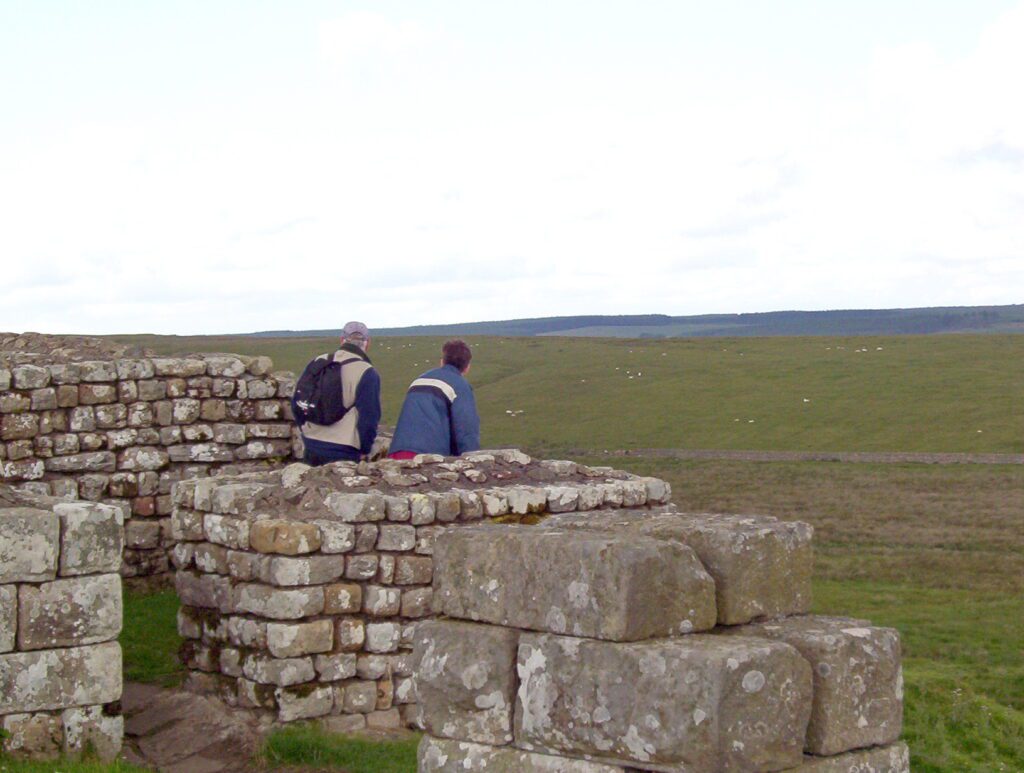
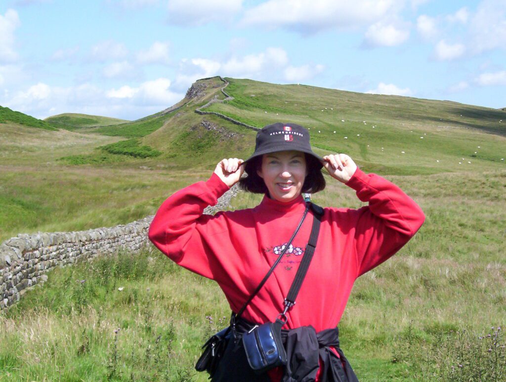
As Bob, our son and I made our way towards Sewingshields Milecastle 35, we enjoyed breathtaking views of the distinctive landscape upon which Hadrian’s Wall was built. Superb vistas of the open countryside to the north had us pausing over and over again to appreciate the location.
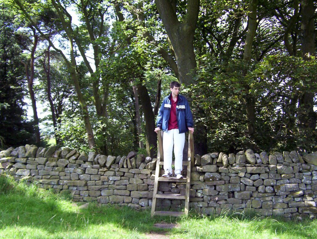
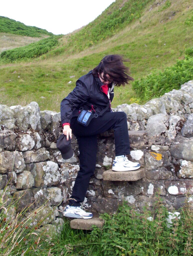
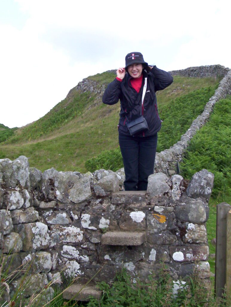
Together with the occasional gate, the use of stiles made crossing over Hadrian’s Wall possible. I loved these ingenious structures that enable people but hinder the livestock.
When first plans were made for building Hadrian’s Wall, the intention was to construct it entirely of stone. Soon after, turf was employed as the building blocks with a wide, deep ditch below. The complete eastern 30-mile section was constructed of turf.
Hadrian’s Wall is the largest Roman archaeological feature in Britain. It was designated a UNESCO World Heritage Site in 1987.
Initial plans for Hadrian’s Wall included a guarded gate at every one-mile interval. These were called milecastles. At third-of-a-mile intervals between each milecastle was a turret. These turrets were used as observation towers but also provided shelter and accommodation for the Roman troops.
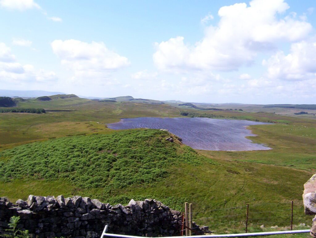
One noteworthy crag along the Great Whin Sill is Hotbank Crags. From there, we had an exceptional view of Broomlee Lough. According to legend, Broomlee Lough has been used as a safe place to stash treasures.
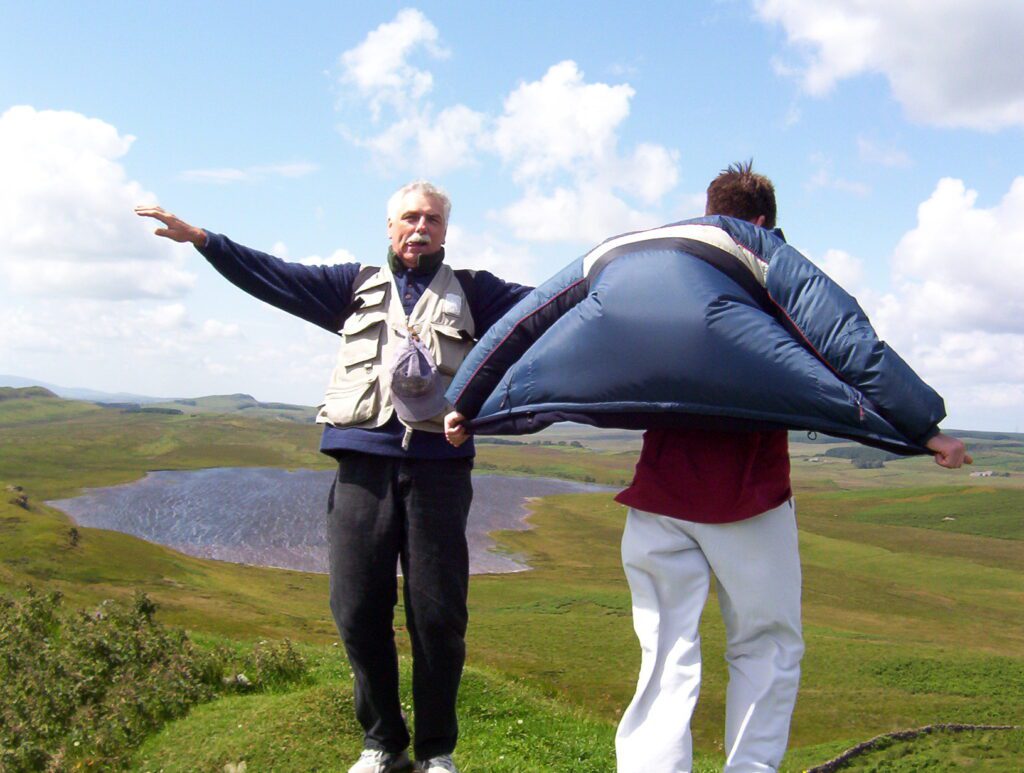
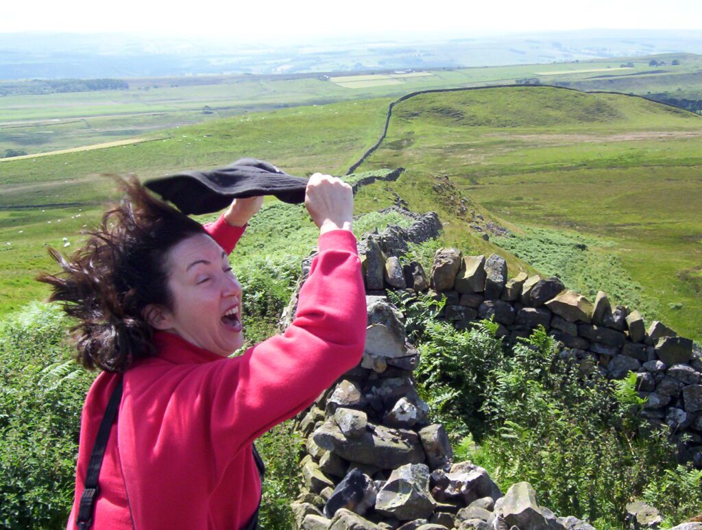
In our upward struggle to Sewingshields Milecastle 35, the wind was a constant companion ever increasing in force to the point where we could actually lean into it without falling over.
The wind whistled in our ears at the top of the promontory so we couldn’t even hear ourselves speak. The landscape beyond was so barren, primeval even, and the wind contributed to a feeling of timelessness.
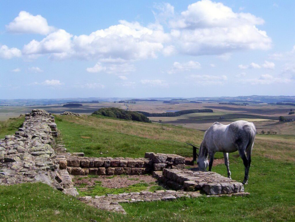
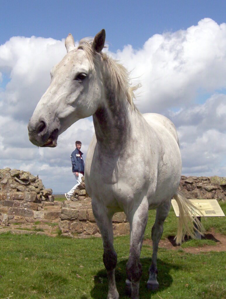
Finally, we arrived at our destination, Sewingshields Milecastle 35. Not much remains of this guarded gate. A lone mare was grazing near the Wall at that uppermost reach of its existence, its mane rippling in the wind.
The long grasses undulated ‘neath the constant gusts, while nearby cattle huddled together against the chill.
Looking for our own place to escape the harsh wind, we found a sheltered spot slightly below the crest of the Wall. It provided a cozy nook where our family settled and nourished ourselves on a modest lunch.
By early afternoon, it was time to begin ambling back to Housesteads Roman Fort.
In its heyday, Hadrian’s Wall was manned by soldiers. Although construction of forts did not make up part of the original plan, by the time the Wall was completed, 14 forts had been added. Soldiers were garrisoned at either the forts, the milecastles or the turrets.
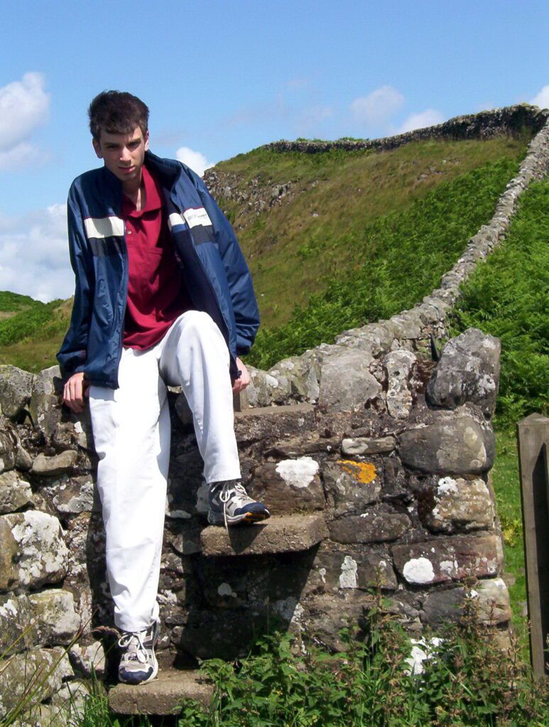
For our return trek, we used a convenient stile to cross the Wall and circumvented all the crags by skirting them at their bases. The bone-chilling wind was still fierce, but we were comfortable, having dressed appropriately for the cool day (21C). Glorious, bright sunshine warmed our backs, while huge clouds scudded across the sky.
Looking at Hadrian’s Wall now, one would never suspect that sections were once constructed of turf and timber, these having been replaced decades later by stone.
With Housesteads within sight, Bob and I were already anticipating a few minutes of rest and reflection.
Housesteads Roman fort was considered the grandest station on the Wall. It was occupied for almost 300 years. Hadrian’s Wall grew to be a rich and vibrant place, a border but also a place where soldiers and civilians from across Europe and Northern Africa connected, negotiated deals and worked together at the edge of the frontier.
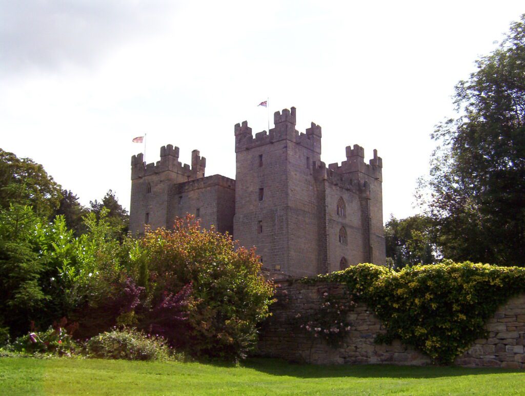
With our explorations complete, we were ready to move on and excited to see our next accommodations at Langley Castle.
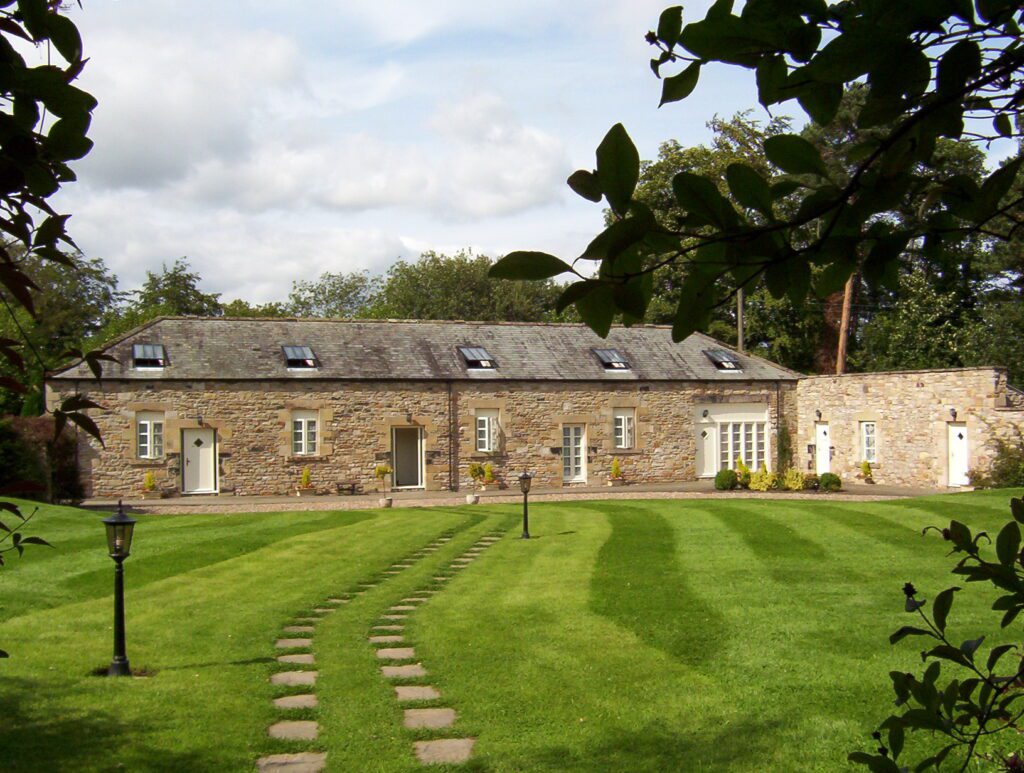
Initially, we were a tad disappointed to learn that our room was not actually in the Castle but rather in the old converted stable with a Castle View. Nevertheless, it was a gorgeous space with lots of character, and we were allowed free access to all public areas in the Castle. Life was good!
Frame To Frame – Bob and Jean

