Wonderful Views In The Lake District of England

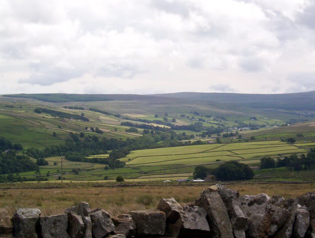
Our stay at Langley Castle was only for one night and then Bob and I were off to discover the Lake District of England. We had a pleasant drive through Cumbria enjoying sweeping views of the North Pennines. The area has been designated a national landscape worthy of protection because of its natural beauty.
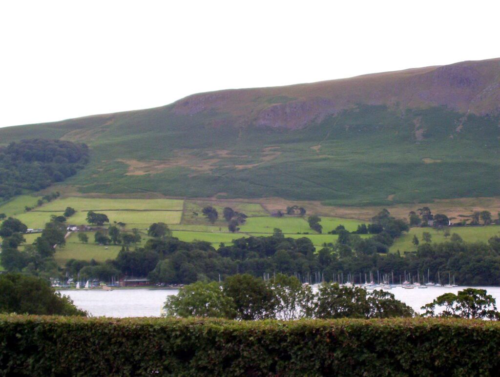
Ullswater Lake was the first lake we caught sight of within Lake District National Park. This glacial lake is the second in size after Lake Windermere.
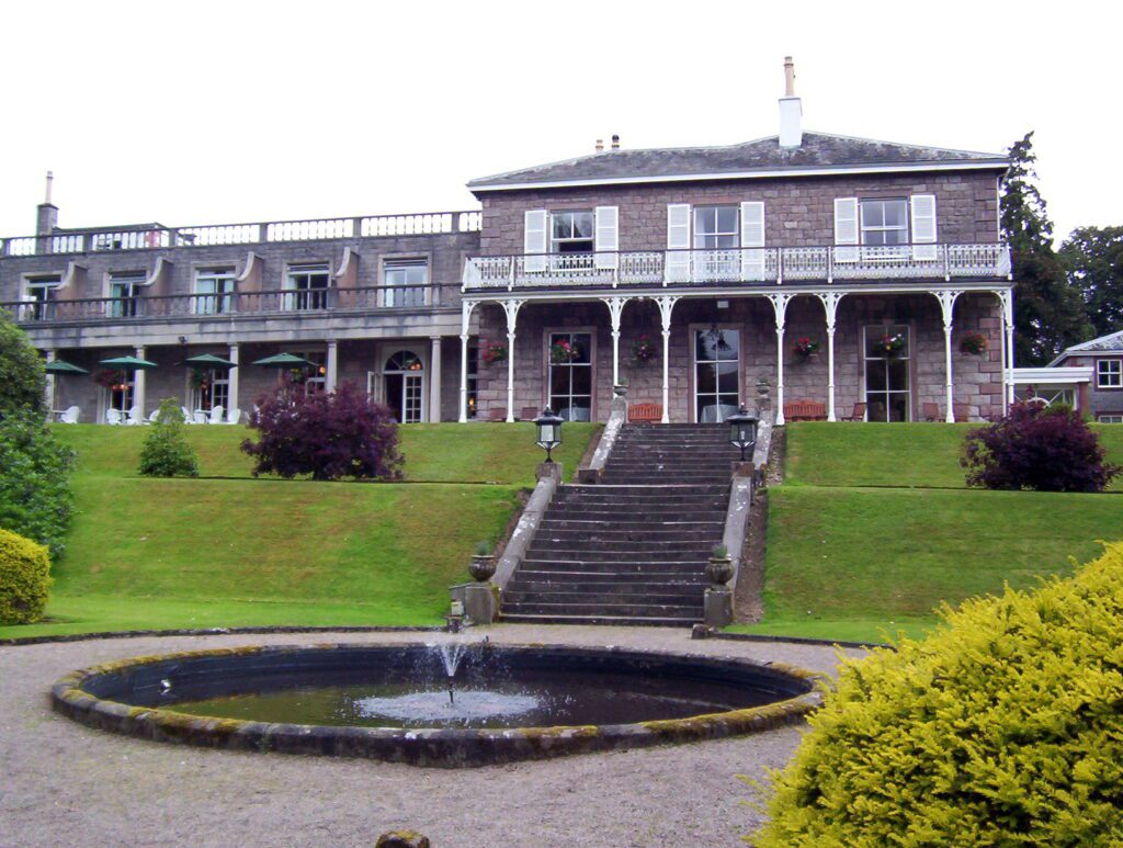
After making some purchases at an outdoor antique sale in Pooley Bridge, we found that all the inns were full. So, a little further south, McDonald Leeming House seemed like a good place to park it for a night.
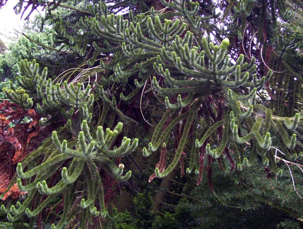
Situated on an expansive property populated with exotic trees such as this Monkey Puzzle Tree, McDonald Leeming House was built over 200 years ago. It is one of the area’s most sought after four-star hotels for romantic breaks and nature-inspired getaways.
To stretch our legs, we wandered down to the shore of Ullswater Lake where already we could get a sense of the charm of this popular vacation destination. Known for its ribbon lakes and rugged fell mountains, Lake District National Park is a nature lover’s dream vacation spot.
Our family took full advantage of the luxurious offerings at MacDonald Leeming House. The three of us spent considerable time in one of the many lounges. I snuggled in the soft cushions of a window seat, while our son and Bob sank blissfully into sumptuous comfortable sofas to read our books for awhile.
Then we indulged in a restorative afternoon tea to tide us over to a late dinner.
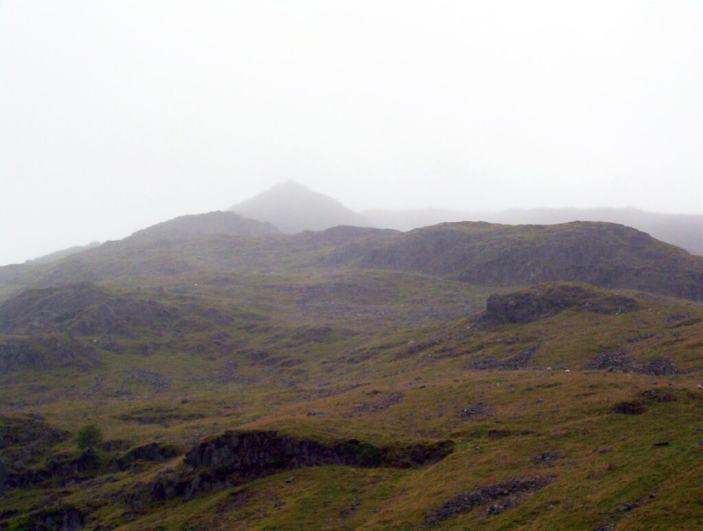
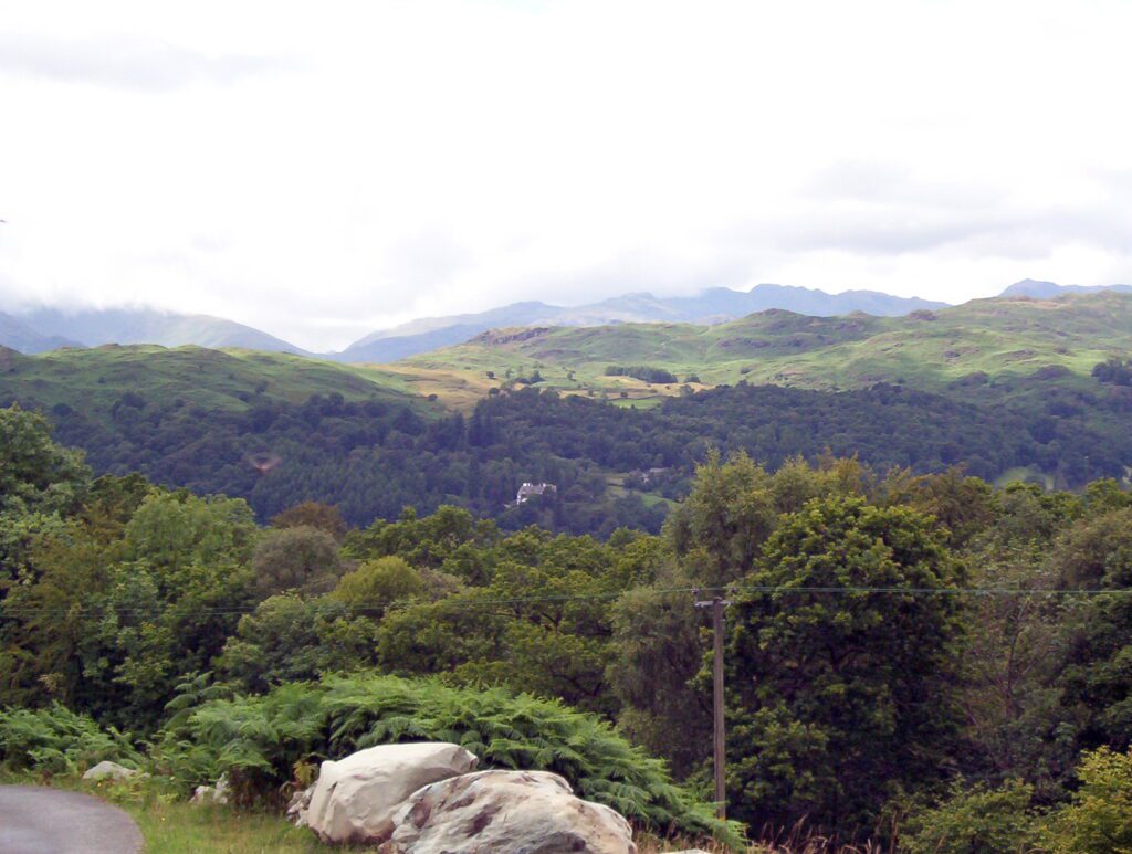
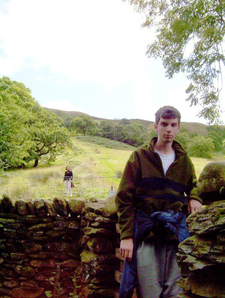
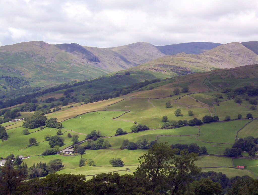
The next morning, we motored south in the Cumbria Lake District towards Windermere. The highway scales the slopes of the moors, and at one point, a view of St. Sunday Crag revealed itself. It has a unique rounded shape that is nicely visible from Ullswater. Bob and I marvelled at the gorgeous scenery, huge hills, deep-cut ravines and valleys, narrow roads, and ancient lichen-encrusted stone fences, some of which are higher than a man’s head.
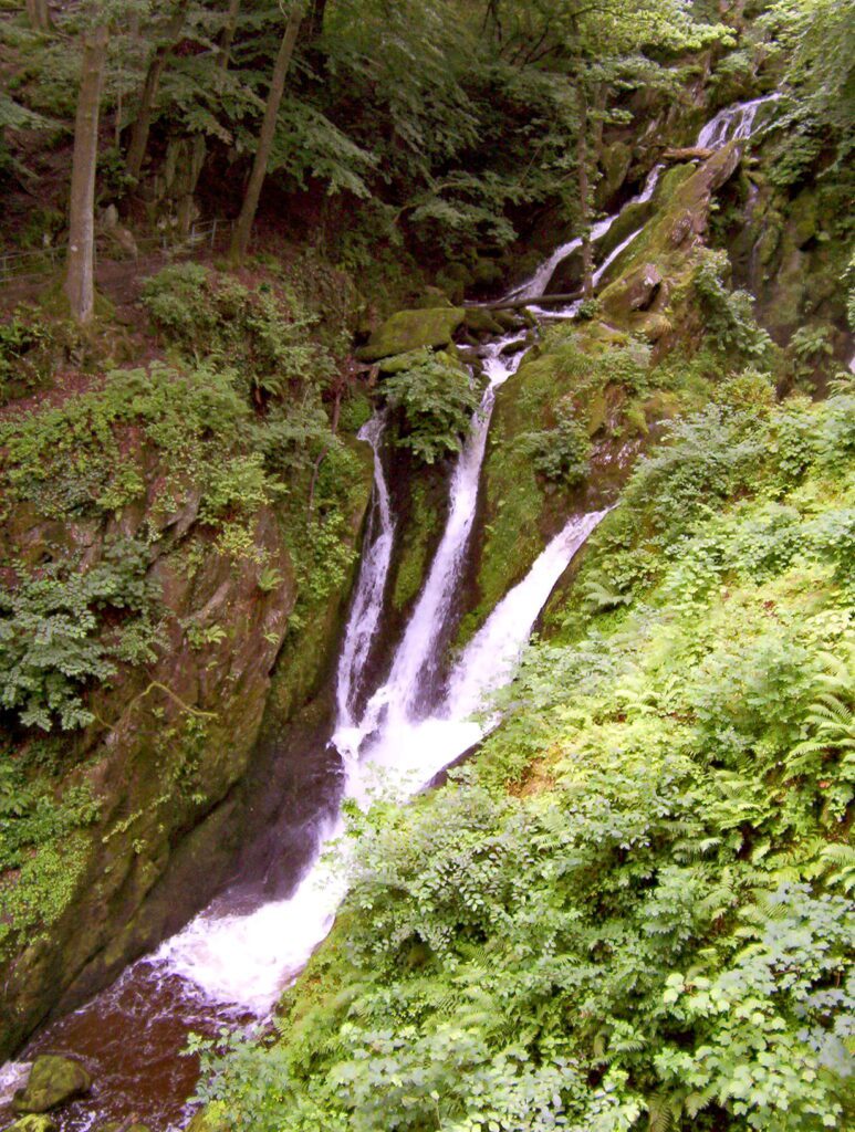
A side road that offered some mystique had us turning off the main motorway looking for adventure. We ended up in a “heavin” little town called Ambleside, a 1,000-year-old market town once inhabited by the Romans. Ready to do some exploring, the three of us walked along Stockghyll Lane that winds its way out of town and into Stockghyll Woods. Bearing right onto a footpath that runs along the edge of a ghyll or ravine, we promptly came to Stockghyll Force, a picturesque waterfall. This gushing cascade is a double-drop waterfall in a pretty woodland setting.
Emulating the British who take great pleasure in ambling the moors and fells, it seemed appropriate that we should continue on the trail and hike up to Wansfell Pike, 5.1 kilometres return. The trail is listed as challenging and requiring 2.5-3 hours to complete.
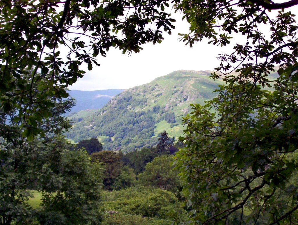
Wansfell is a fell, otherwise called a mountain, that is part of the long, southern ridge called Caudale Moor. It occupies the swath of territory between Ambleside and the Troutbeck Valley. Even before ascending very far up the fell, pleasant views were possible through the trees and bushes.
Although the trail would become quite rocky and steep towards the summit, the lower regions were comfortably negotiated on fairly even ground.
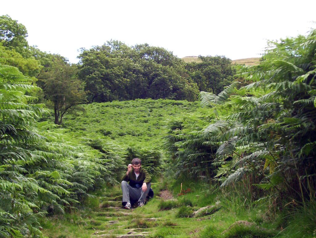
Vegetation on the lower slopes of the fell thrives because of the well drained soil. A large stand of bracken created a lush backdrop for an iconic photo of England’s verdant landscape.
As we climbed higher, the increasing wind and dropping temperature had us adding layers of clothing. About ¾ of the way to the peak, we paused for a break and a snack while we sat on an old stone wall overlooking the sun-dappled valleys below.
An extensive summit ridge with two tops constitutes Wansfell, but Baystones is actually the highest summit of the two. Wansfell Pike, however, is regarded as the “true” summit of the fell because it draws more hikers to its peak because of the superior views.
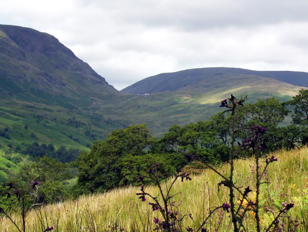
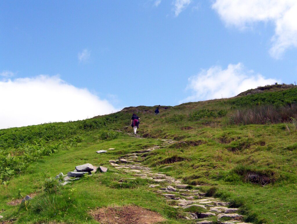
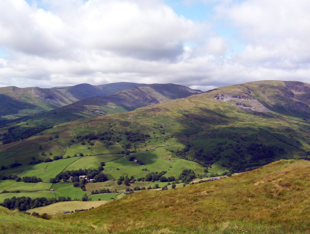
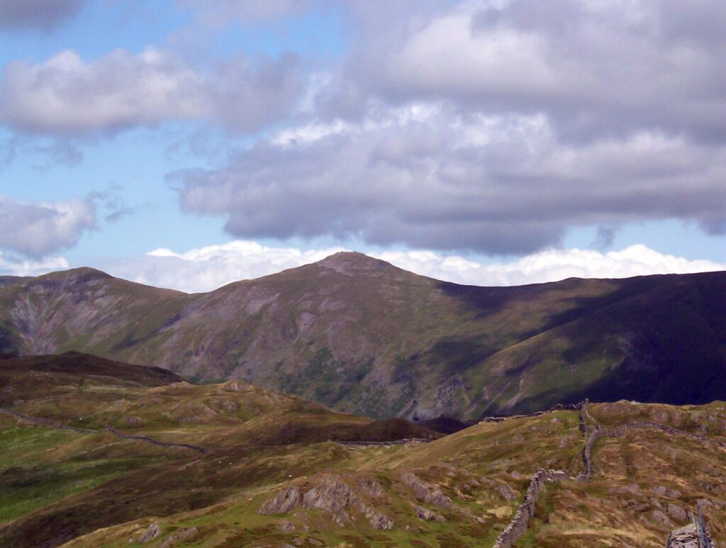
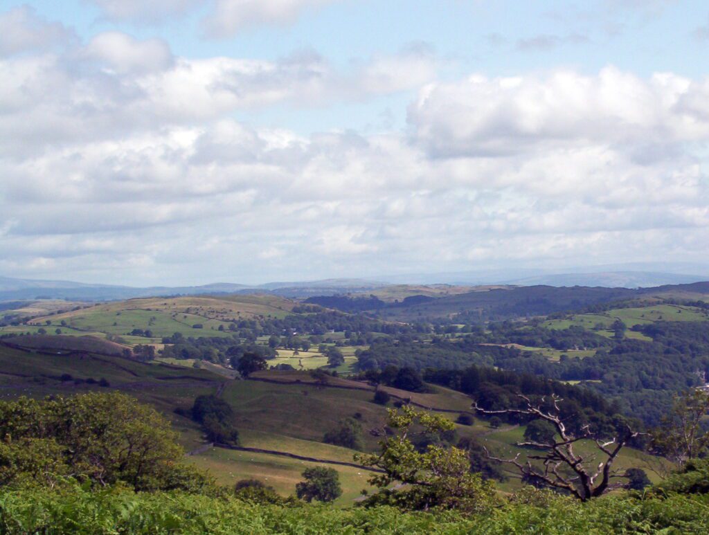
I was enamoured with the panoramic vistas to the higher Eastern Fells. For the same reason, vast numbers of fell walkers are attracted to the area. In the 1990s, restoration work had to be done on the footpath where considerable erosion had taken place.
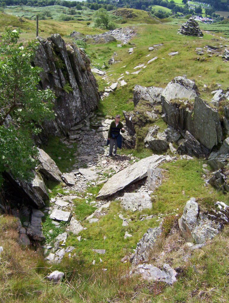
Stones were employed to make the footpath more stable, and as we neared the summit, it was akin to mounting an irregular stone staircase.
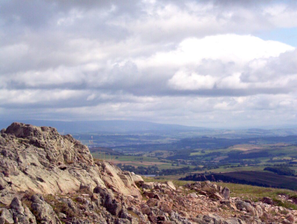
The summit called Wansfell Pike is actually a rocky bluff towards the southwestern end of the summit ridge.
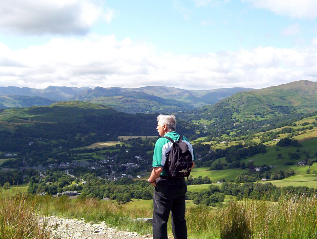
The highest point of Wansfell Pike is 482 metres above sea level. Here, we see Bob looking west to Loughrigg Fell beyond Ambleside.
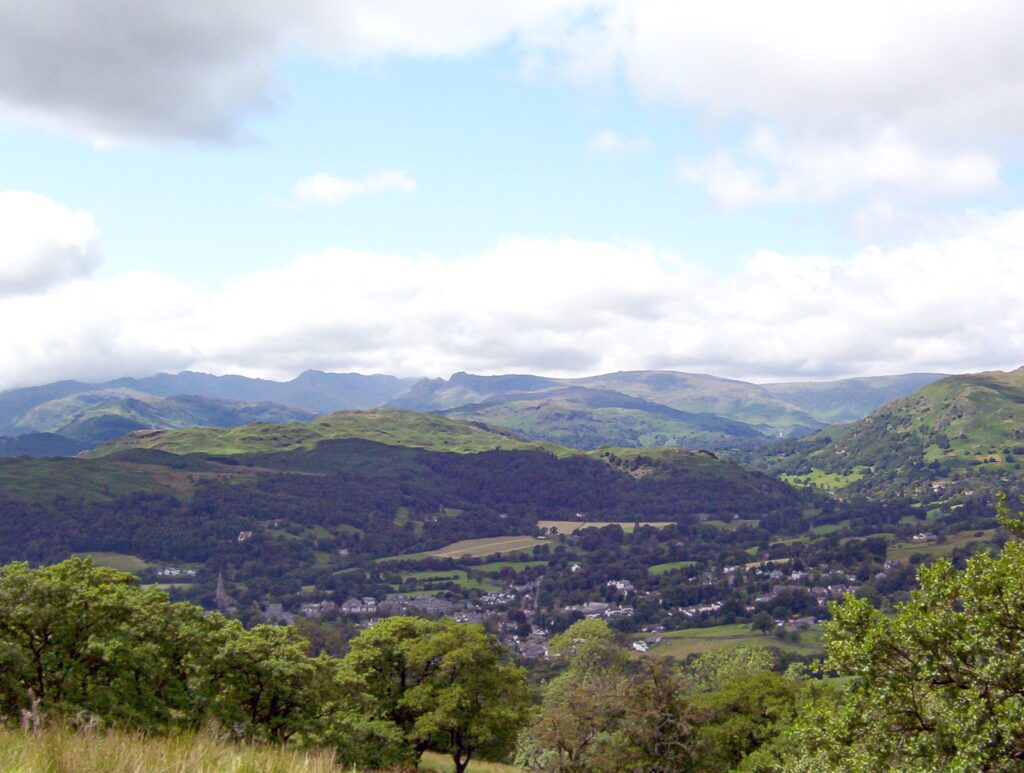
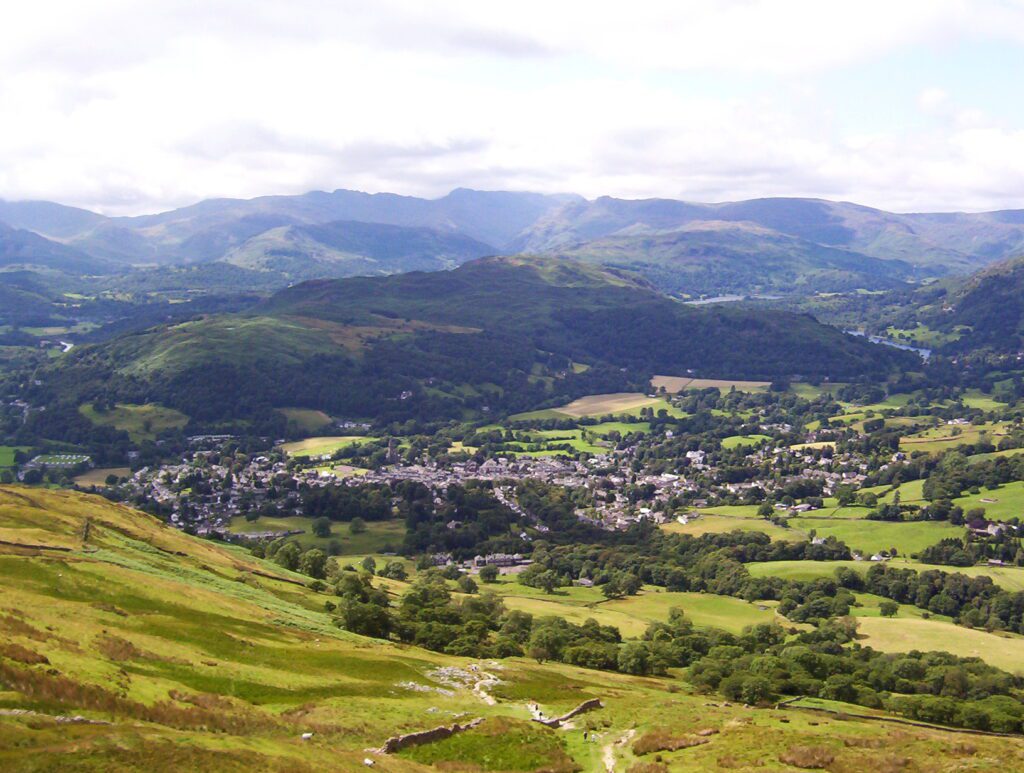
Ambleside looked charming nestled in the valley below Wansfell Pike. Quaint Victorian stone houses and narrow winding streets are typical of the Cumbrian atmosphere in this historic market town.
The landscape of Wansfell Pike and surrounds fulfilled all of my expectations. Together with Stockghyll Force, becks (rivers), grassy vales, moss-covered stone walls, shady glens, and stone steps straight up to heaven, I felt like I’d walked into a fairy tale.
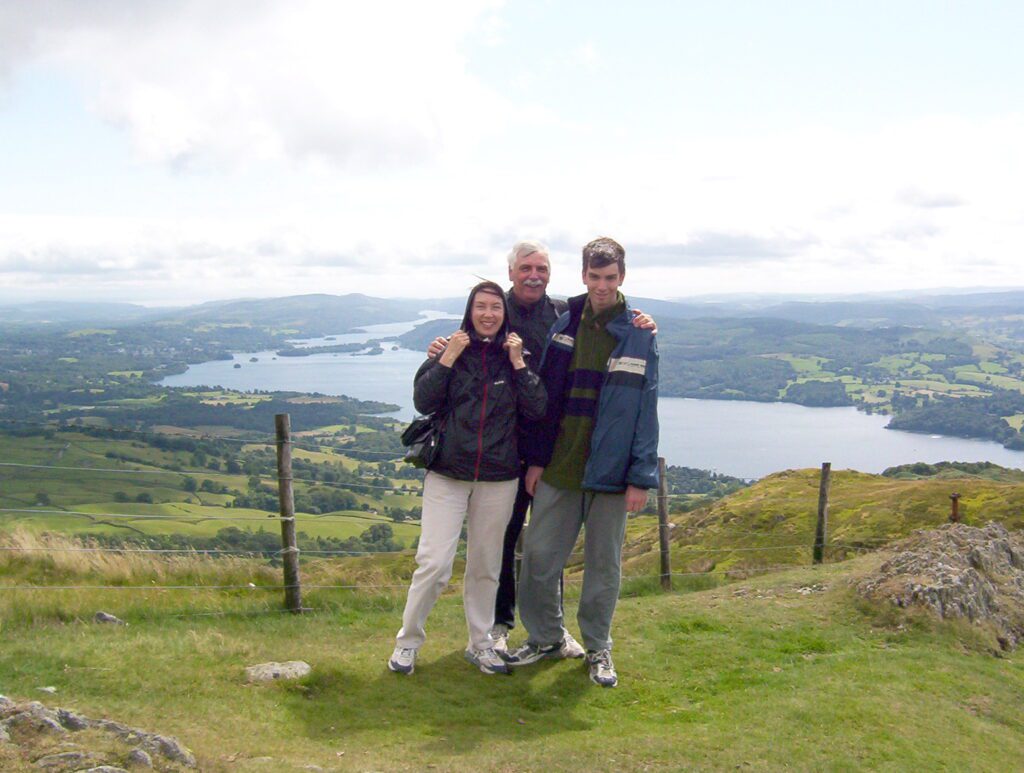
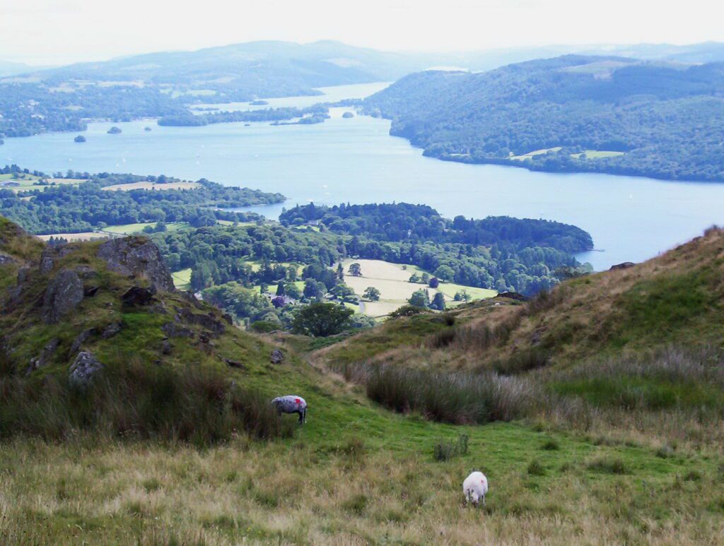
To mark our achievement once at the summit of Wansfell Pike, a classic shot of the three of us was photographed with a view of Windermere in the background.
Only one lake in the Lake District is actually called a lake. Windermere is a “mere”. In old English, that means lake or sea. The region contains 16 other lakes that are called either tarns or waters with one exception, Bassenthwaite Lake.
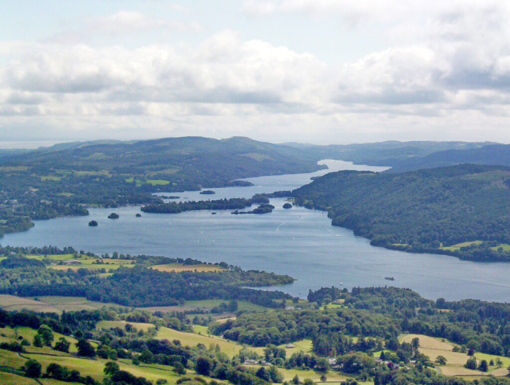
Lake District National Park was established in 1951. It was declared a UNESCO World Heritage Site in 2017. Lake Windermere is the longest and largest lake in the region and in England. Ambleside is snuggled at the north end of this mere. This photo is from the south.
A fell is a high barren landscape feature such as these mountains and moor-covered hills. The term “pike” refers to the the fact that the fell has a peaked summit. Wansfell is a fell with 2 summits that are joined by a dry stone wall.
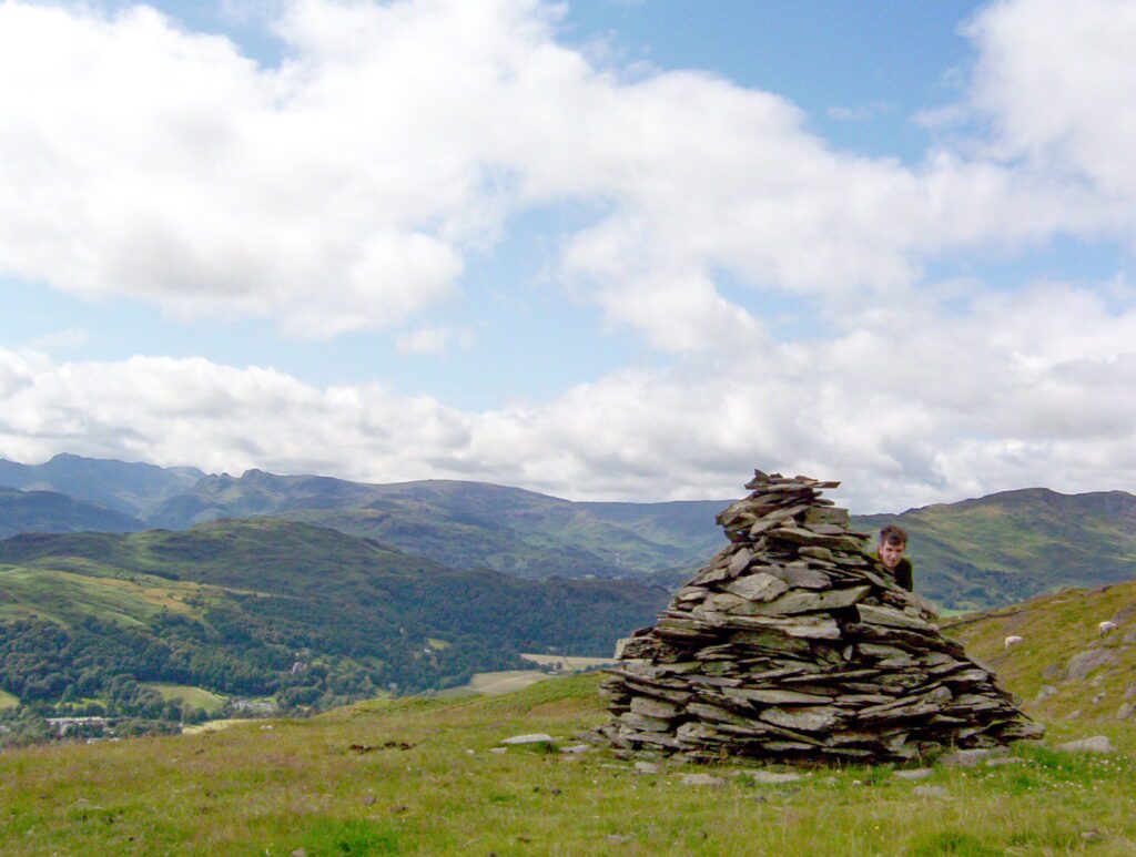
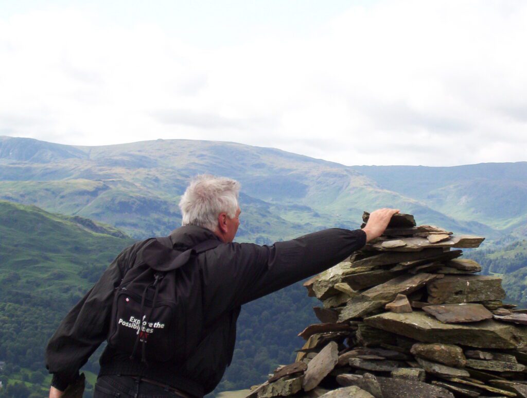
From the summit, we hiked along the ridge to a stone cairn marking the highest point of Wansfell Pike. Bob and I were slow to follow our son who was akin to a Klipspringer scampering over the stone-studded trail before us.
From this vantage point, the sparkling ribbon of water that is Windermere was no longer visible.
For posterity’s sake, Bob placed an additional rock atop the cairn on Wansfell Pike.
The backside of the mountain offers a less arduous route for the descent, a gentler slope through the valleys. This led us through many pastures until finally we found ourselves in Skelghyll Woods, an ancient woodland with some of the tallest trees in Cumbria. This woodland is like something out of Robin Hood with sunny glades and mossy knolls, ferns over 6-feet tall, babbling becks such as Stencher Beck rushing to the lower reaches of the mountain, and an ancient stone bridge with well-worn rustic steps descending into the stream. I almost expected Robin Hood to come riding out of the greenwoods.
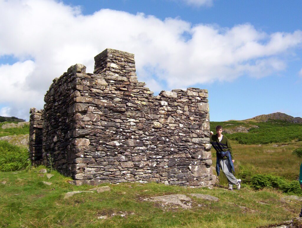
More discoveries were still to be had. The ruins of an ancient aqueduct observatory stood out against Kelsick Scar on the southern slopes of Wansfell Pike. This is one of two that was used to plot the route of an aqueduct.
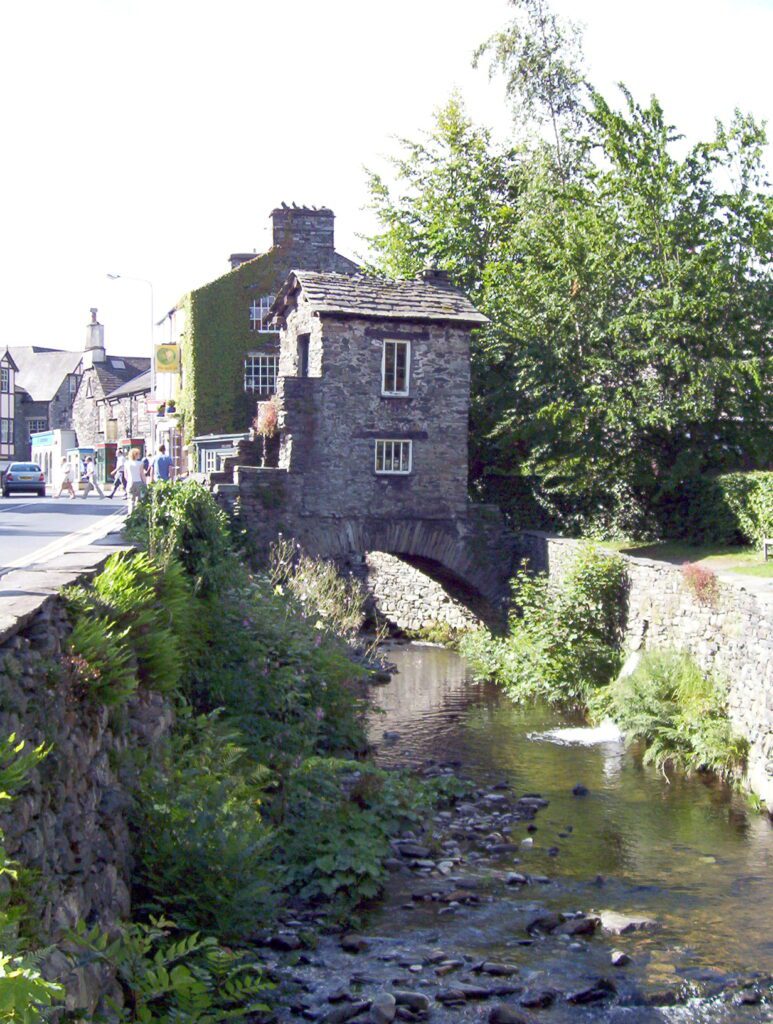
Striding into Ambleside, what did we find but a quaint structure over Stock Beck called the Bridge House. Built in 17th century Victorian England, it served as a means for the Braithwaite family to access their property on one side of the beck from their residence on the other. Our amble had taken almost twice as long as expected, 5 hours in fact, but we had managed to complete the full 10.l kilometre trail. It had been a marvelous day!
Frame To Frame – Bob and Jean

