Visiting The Cliffs of Moher In Ireland
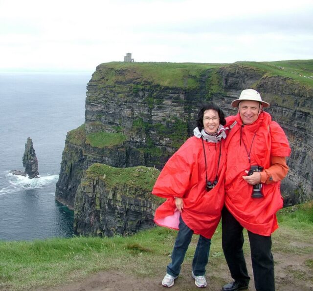
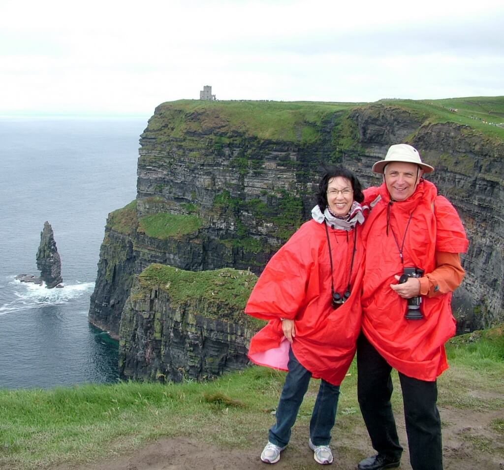
A short distance from Ennistymon brought us to the famed Cliffs of Moher in County Clare, one of the most dramatic stretches of Ireland’s west coast. When first we arrived, a light drizzle dampened our clothing, and a brisk wind swept in off the ocean lending a distinct chill to the air. With our rain ponchos in place, we were ready for anything.
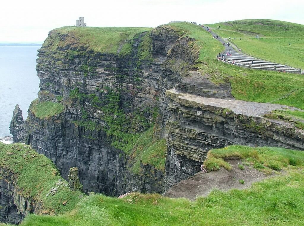
First, we hiked from the Visitor Centre north along the cliffs to the Lookout Tower that has been built on a promontory to provide a higher perspective of the adjacent cliffs. Visitors had to wait their turn to ascend a spiral iron staircase because of the confines of the tower’s observation deck.
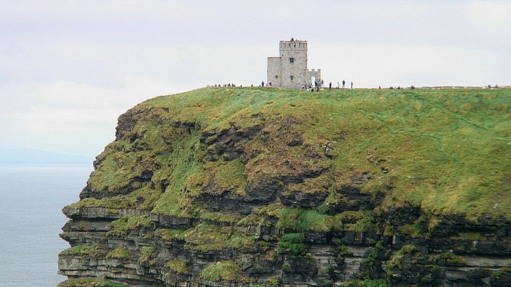
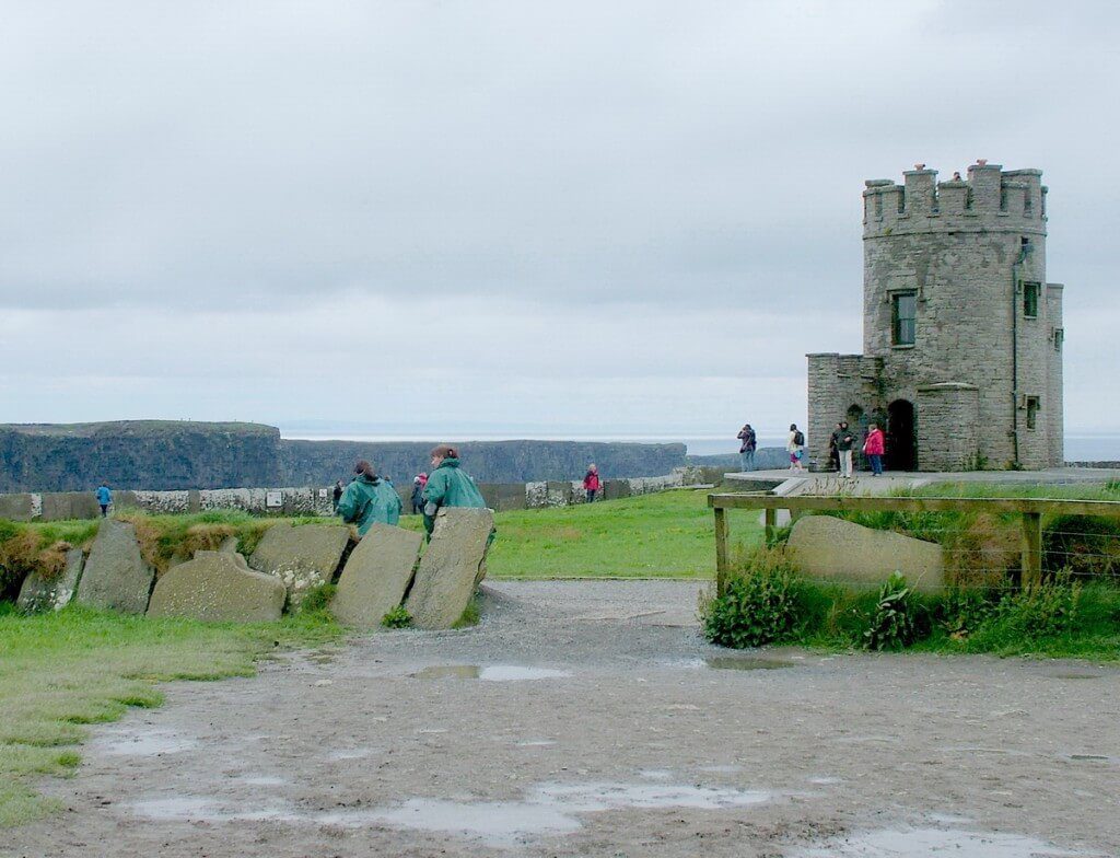
O’Brien’s Tower, as the lookout is known, was built in 1835 by Cornelius O’Brien for use by the hundreds of Victorian tourists who visited the cliffs at that time. Cornelius, the local landowner and a descendant of Brian Boru, the High King of Ireland, was a forward thinker and believed that tourism could help boost the local economy and lift the citizens out of poverty.
O’Brien’s Tower is a round, stone tower built atop the highest point of the Cliffs of Moher, near their midpoint. Originally there were two linked round towers, both of which were constructed using local stone. In addition, the nearby protective fence or wall was constructed of impressive slate flagstones from the nearby village of Liscannor. Built along the cliffs to prevent wayward tourists from venturing into dangerous areas, they are covered in intricate patterns made millions of years ago by sea creatures when the slate was still mud on the sea bottom.
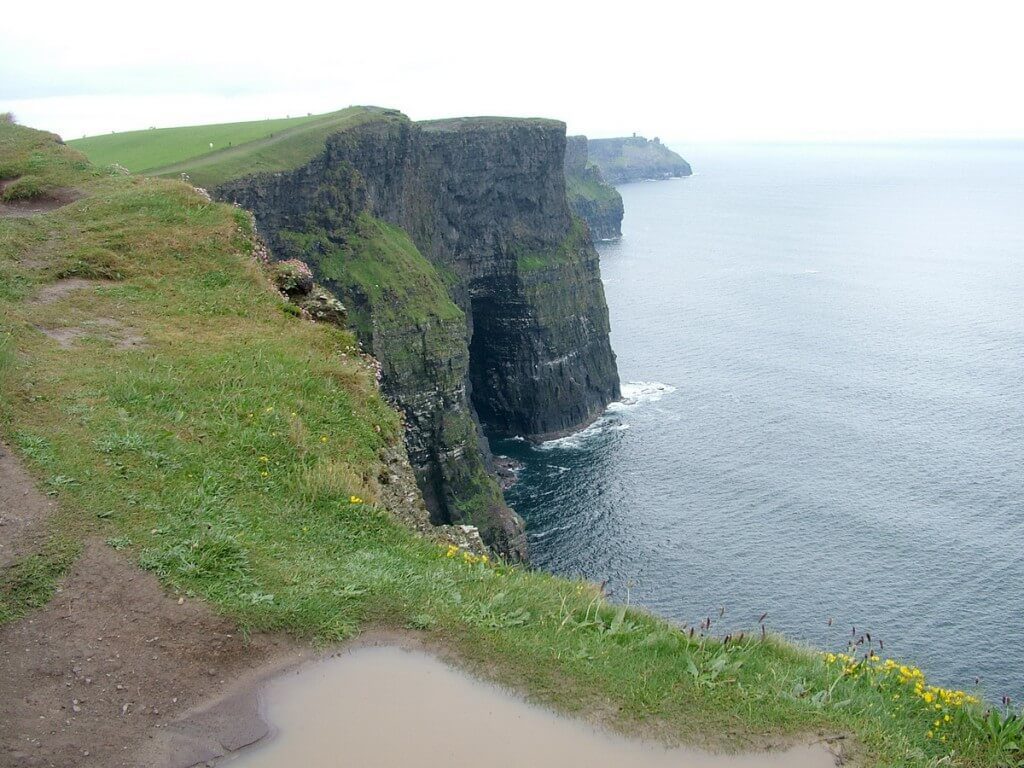
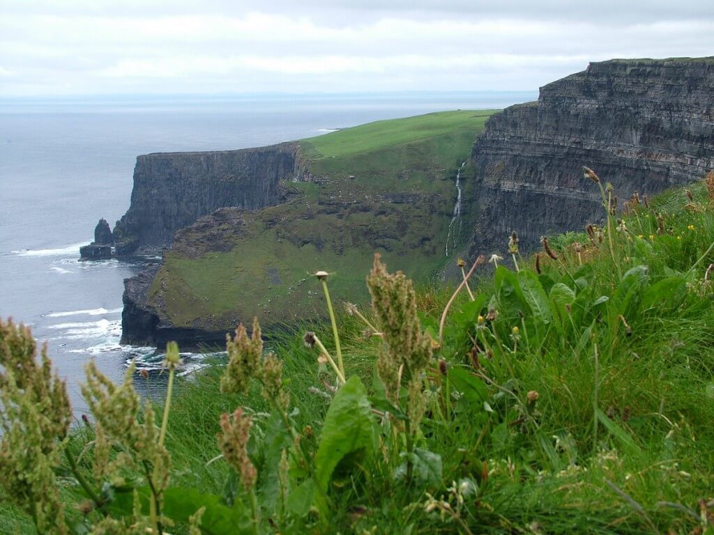
The Cliffs of Moher rise out of the sea to a height of 702 feet (214 m) and stretch for 5 miles (8 km) along the Atlantic coast of County Clare. Bob and I were no sooner underway when the drizzle dwindled to a fine mist, and earlier fog lifted to reveal a wonderful view. We were astonished when looking from the viewing platform atop the watchtower at the distance we could see across the surrounding land and seascape.
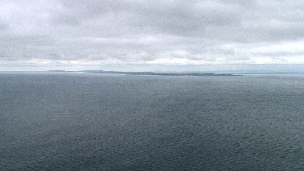
With such fair conditions, the Aran Islands in Galway Bay emerged from the shadows, grabbing the available sunlight and heightening our anticipation of the trip we would make there by ferry in a couple of days time. The islands lie eight miles into the Atlantic Ocean, scattered somewhere between the sea and the sky. Hag’s Head to the south also rose on the horizon and cemented our intention to hike there along the well-worn paths that hug the contours of the cliffs’ edge.
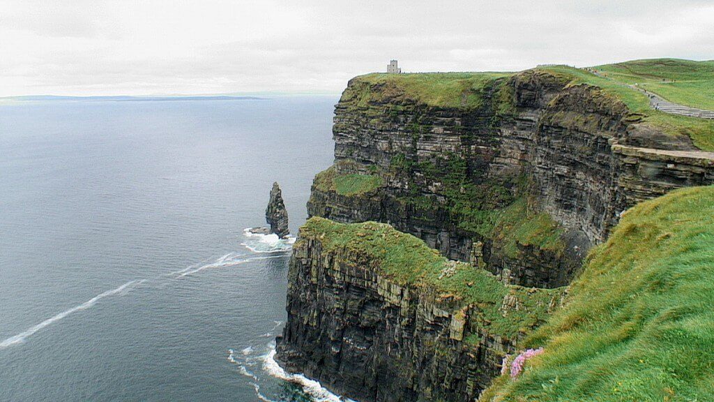
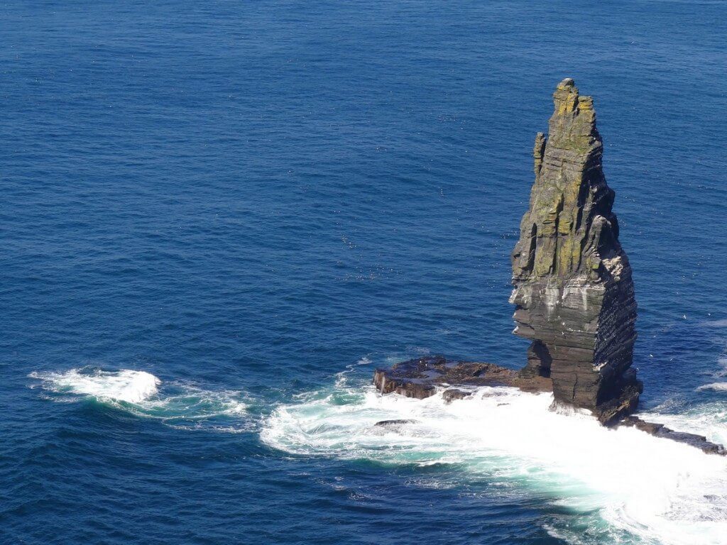
From this position at the brink of the cliffs, we had a good view of Branaunmore just offshore. It is a tall, slender sea stack where a variety of seabirds often nest.
Branaunmore stands 67 metres high and once formed part of the cliffs, but constant erosion wore away the layers of rock joining it to the mainland. Hag’s Head lies a couple of kilometres south of the Cliff of Moher Visitor’s Centre, and we were off to find it.
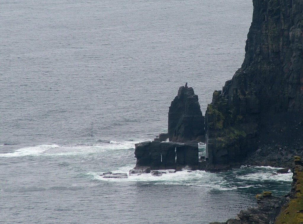
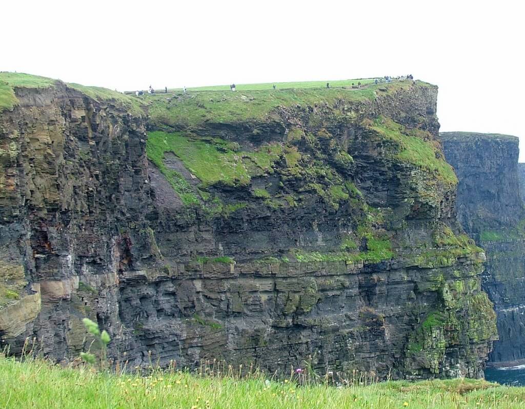
Coastal erosion continues to undermine the base of the bluffs causing upper cliff faces to sporadically collapse into the sea under their own weight. Between fierce Atlantic gales and incessant waves crashing against the foot of the cliffs, interesting coastal formations such as sea stacks, sea stumps and sea caves are created. It is interesting to note that one of the sea caves was featured in the 2009 movie, Harry Potter & the Half-Blood Prince.
As Bob and I progressed southward, we found that some of the trails were too close to the precipice for comfort. Frequent bursts of wind swept over the lip of the cliffs, and on occasion, sea spray was whipped up from the ocean 700 feet below.
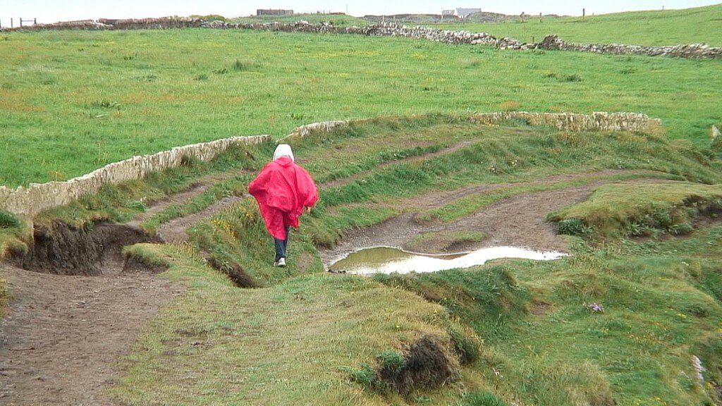
Owing to the previous days’ rains, the surface was very muddy and slick, and in some spots, huge accumulations of water necessitated trespassing into the bordering farmer’s field.
Continuing south on the path, Bob and I eventually came to Mothar a Thairbh, the Cliff of the Bull, and finally the Signal Tower at Hag’s Head. It was unnerving walking along stretches of the trail where recent erosion had torn sections of the supporting cliff face from beneath the top surface of the plateau.
One only has to look at this photograph of the same section of trail to see how much it has been changed since the fall of 2010. It is up to Mother Nature as to when the next piece might fall away.
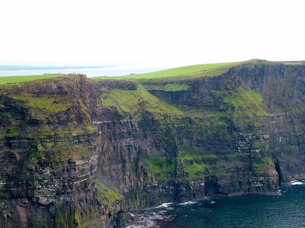
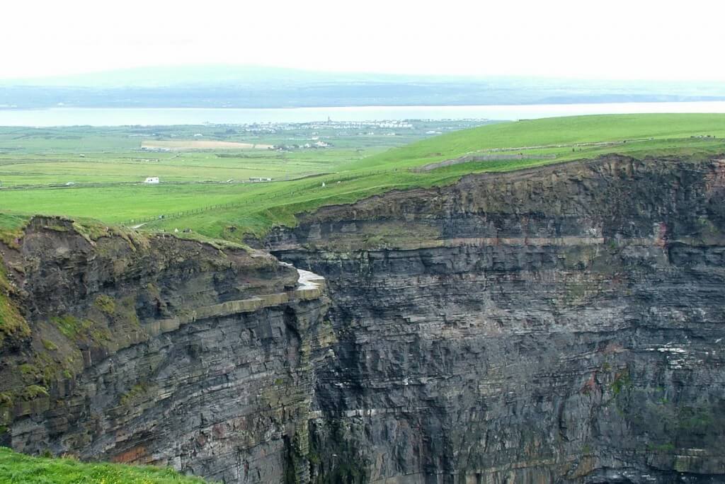
An ancient sea once covered that whole area, and it was from sediments deposited on the seabed some 320 million years ago that the rocks of the Cliffs were formed. Fantastic opportunities to view the sedimentary layers present themselves around every corner. Bob and I could distinguish the layers of siltstone, shale and sandstone because of their different colours and qualities. The oldest rocks are, of course, found at the base of the Cliffs.
Over 20 species of nesting birds, including 9 species of breeding seabirds, make the Cliffs one of the most important bird breeding sites in Ireland. Up to 30,000 breeding pairs of seabirds visit the Cliffs of Moher annually. The species include such birds as Fulmar, Gannet, Storm Petrels, Kittiwake, Razorbill, Gulls, and Atlantic Puffins, to name a few.
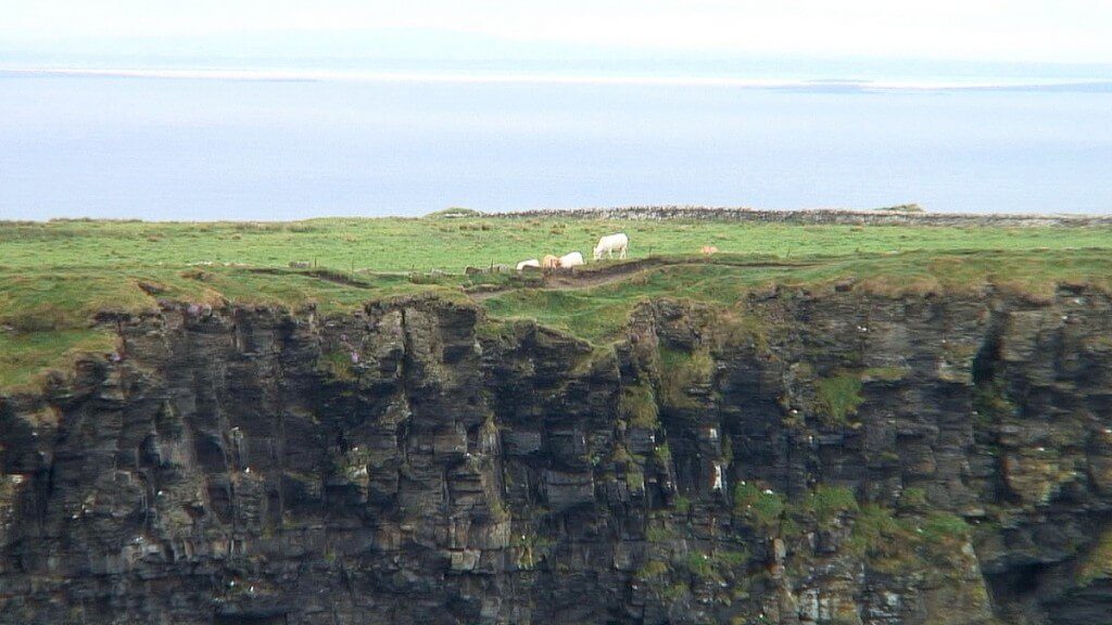
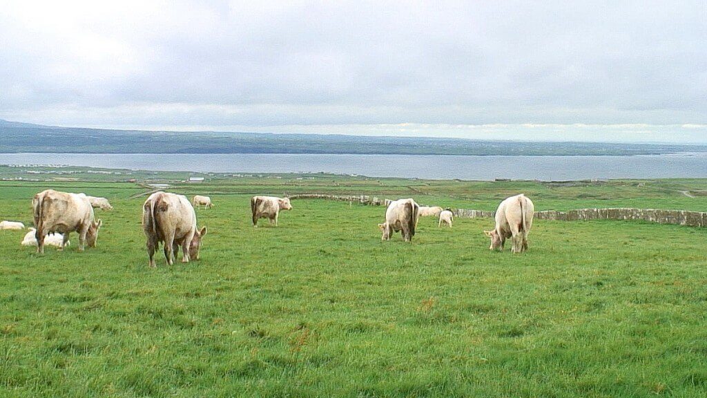
And high above the flocks of birds, pastures of lush, green grass carpet the headlands.
Protective stone fences edge the leas to keep in small herds of cattle…
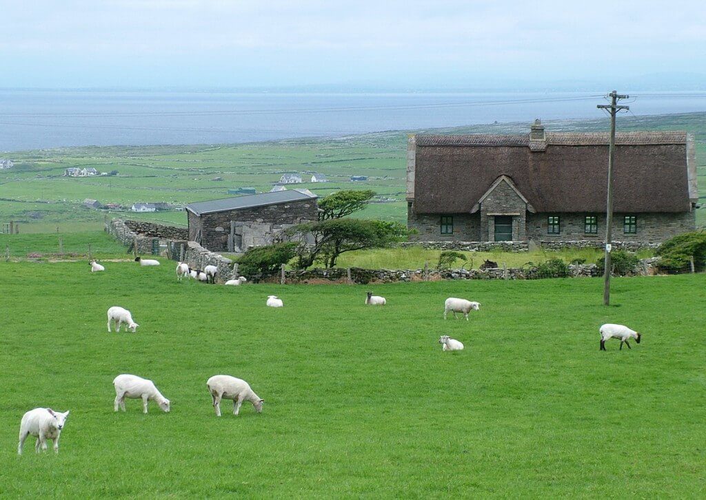
and flocks of wooly sheep that idly roam from one patch of sweet grass to the next. The pastoral setting seems perfect despite the danger posed by the proximity to sheer drop-offs.
At one bend in the trail, we were able to spot the village of Liscannor to the south. Also visible in this photograph is a sandstone platform that hangs eerily from the side of the cliff. Because sandstone resists erosion better than siltstone, this ledge remains behind after the two intervening layers of siltstone disappeared. At one time, this overhanging slab of rock was open to the public, but now a guide is required if you wish to walk on its surface. Two-hundred metres below is Boulder Beach.
The further out along the walking trails that Bob and I ventured, the fewer people we came across. I love that we had only the seabirds to keep us company. With the wind in our ears and the sun on our faces, we were free to let our minds wander.
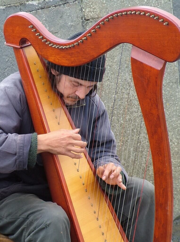
Sometime later, as we returned towards the Visitor Centre, the allure of melodic Irish music had Bob and I seeking the source. In an alcove tucked out of the wind, a harpist picked out spirited tunes to enchant the tourists. He deftly manipulated the strings of the graceful instrument to perform a series of melodies which spoke to everyone, but try as we might to understand his lilting Irish dialect, and we were left guessing.
The Cliffs of Moher form part of The Burren, a vast limestone plateau in northwest County Clare, and in 2011, Cliffs of Moher Geopark was awarded membership in the UNESCO-supported Global Geoparks Network. As Bob and I made our way back to the parking lot, the haunting strains of Irish folk music echoed in my mind. I’m sure my impression of the breathtaking Cliffs of Moher will forever be etched in my memory, too.


