Our Vargas Island Kayak Trip, Day 2 – Rassier Point to Ahous Bay
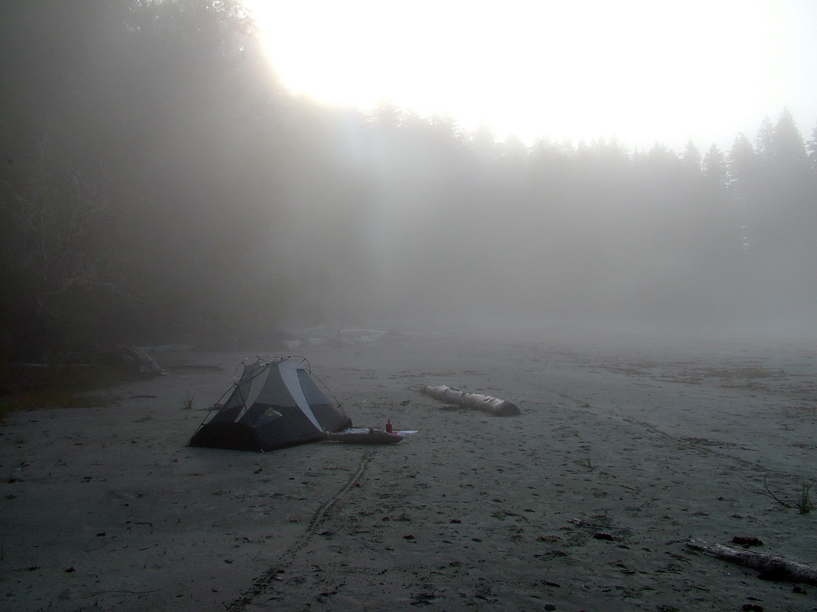
After a peaceful night at our first beach camp at Rassier Point on Vargas Island, British Columbia, Canada, we awoke to find every exposed surface soaked with heavy dew.
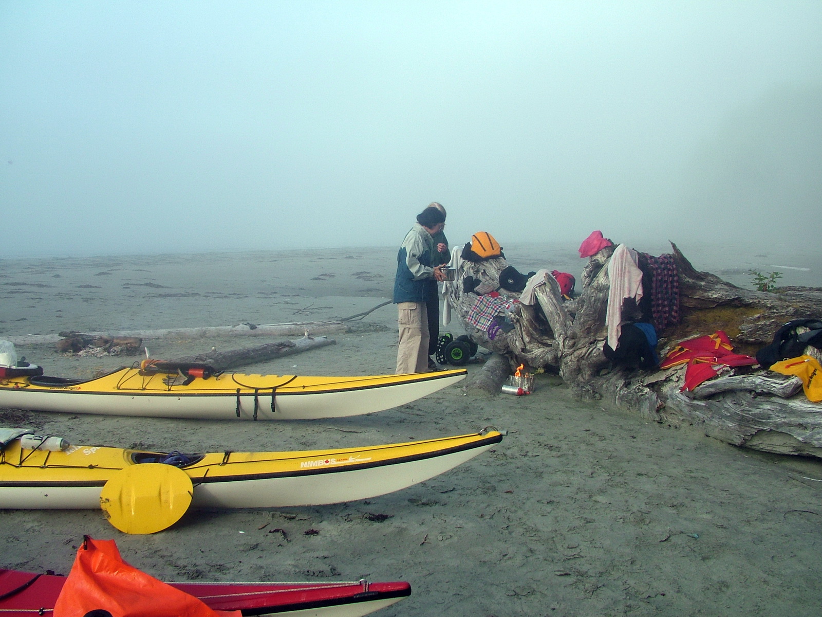
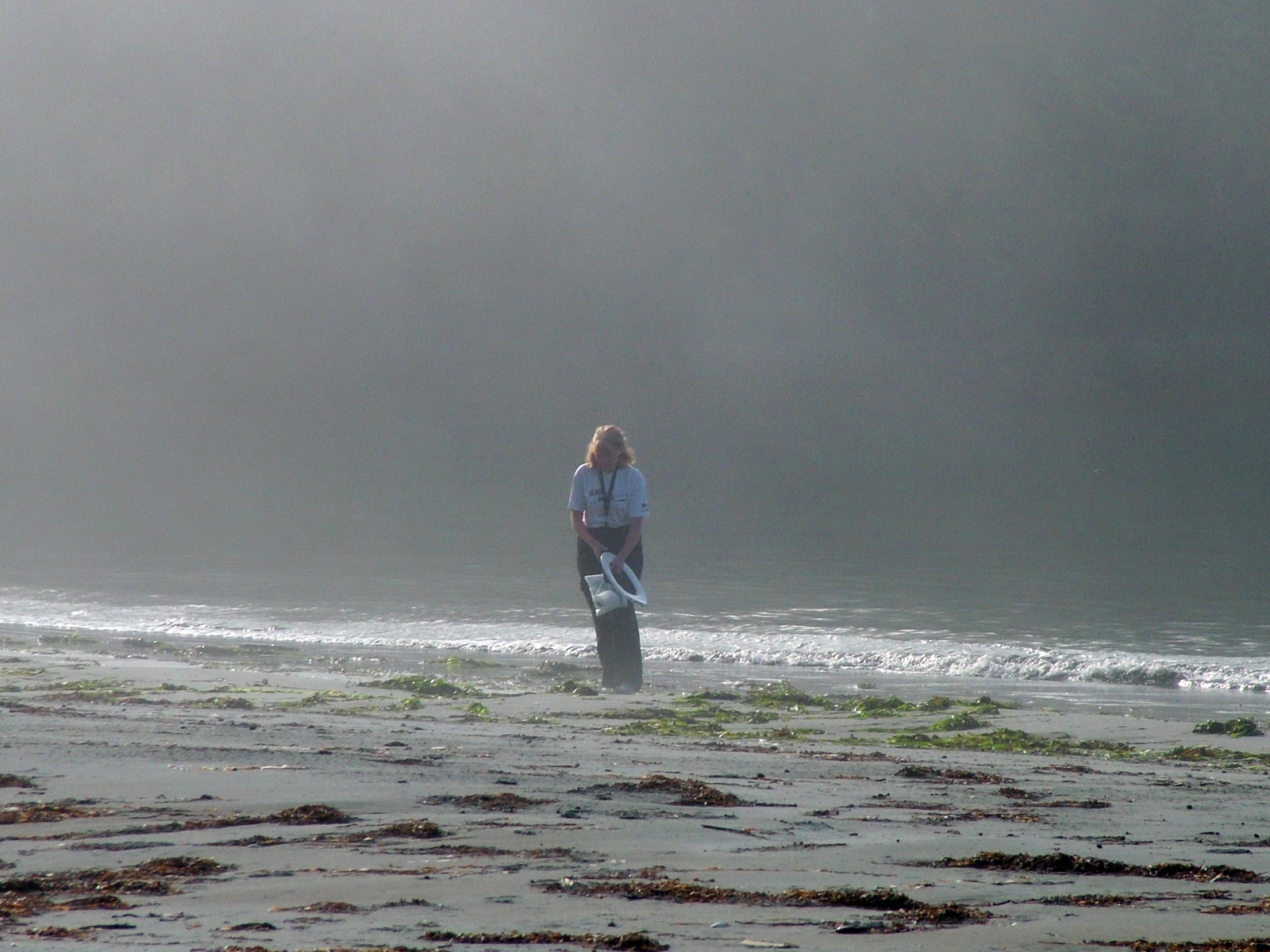
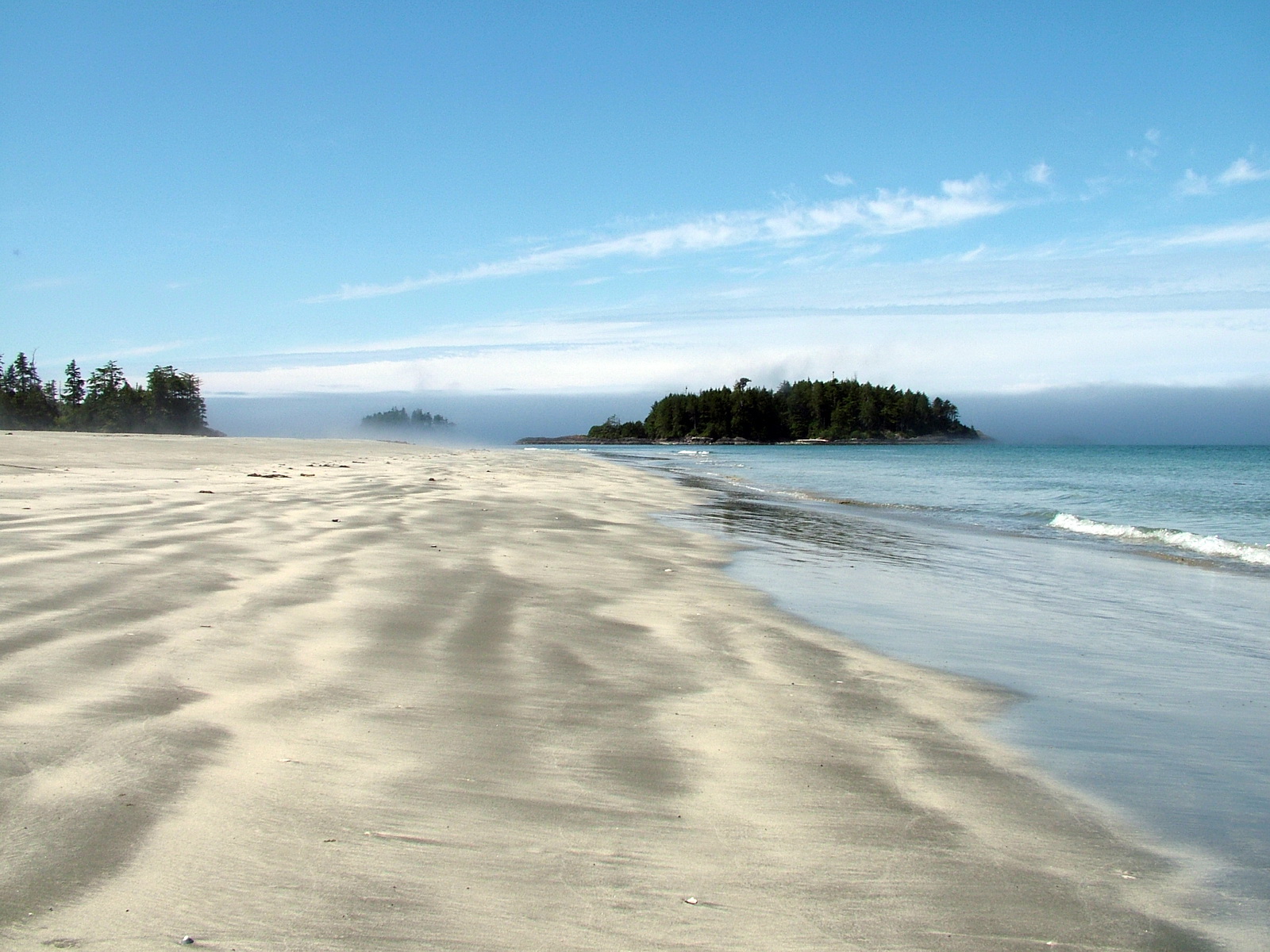
Banks of fog ebbed and flowed in and around the crescent-shaped bay creating an ethereal, mystical and almost haunting atmosphere.
Everyone was awake and moving by 7 a.m., and a steaming mug of tea was presented to me as soon as I stepped foot out of the tent.
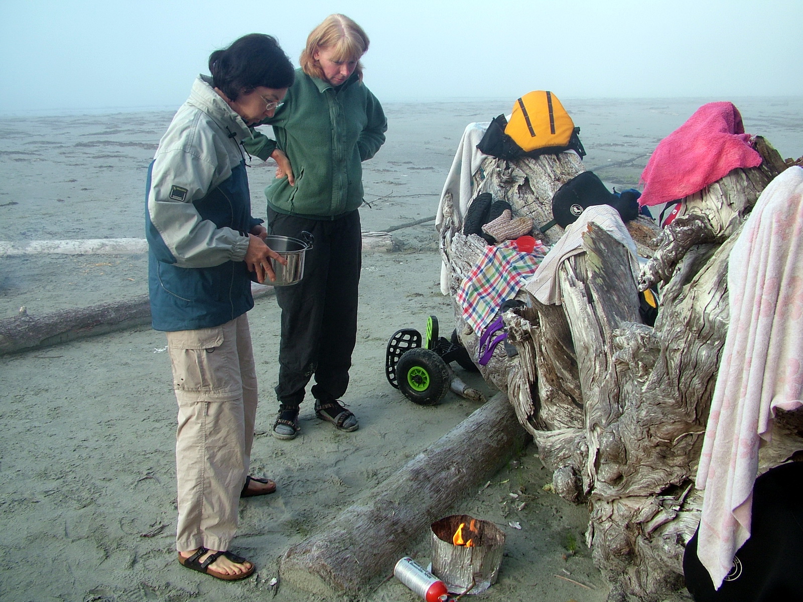
Claire and I tended to breakfast, making oatmeal on the portable burner.
Everyone took their turn heading off into the woods.
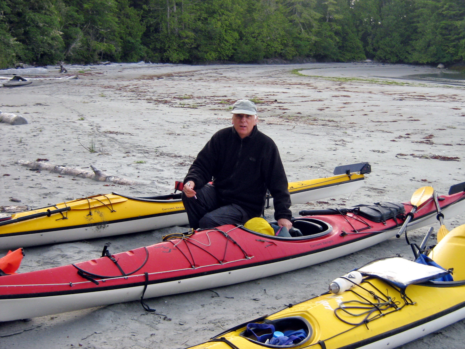
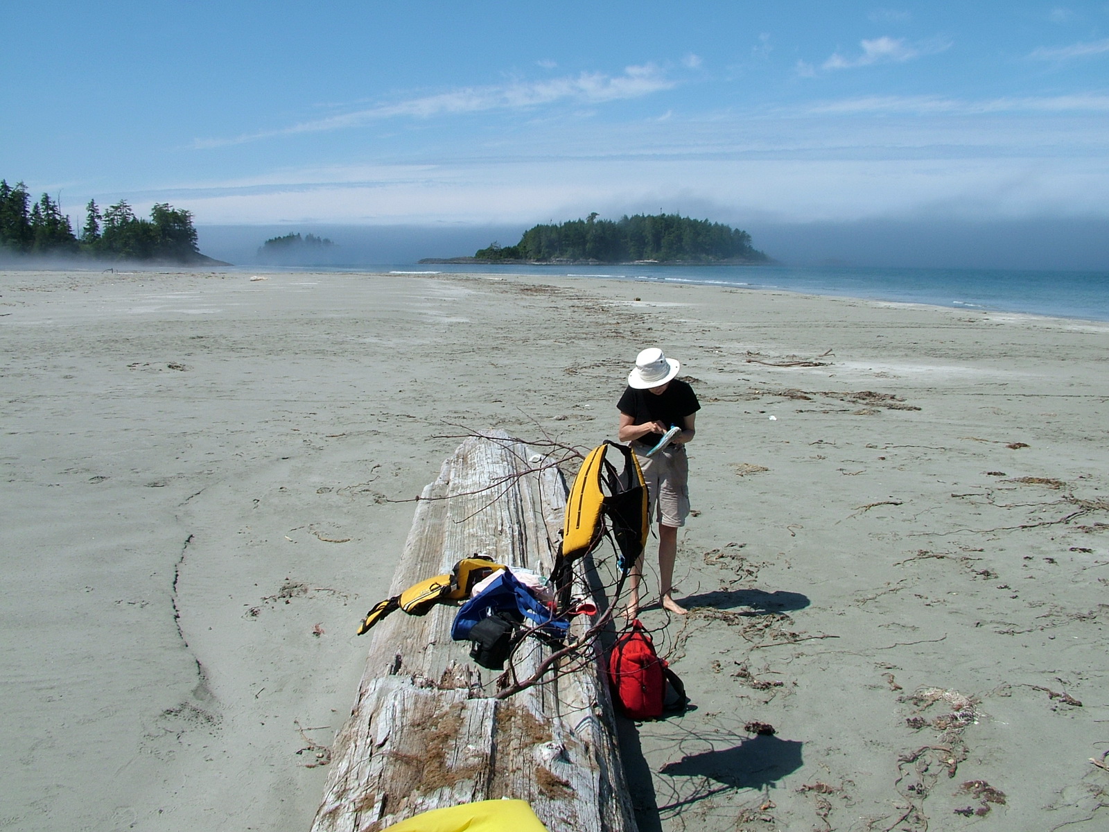
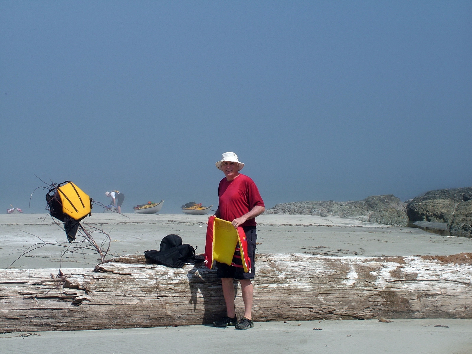
It took a short while to get packed up with each of us responsible for our own kayak.
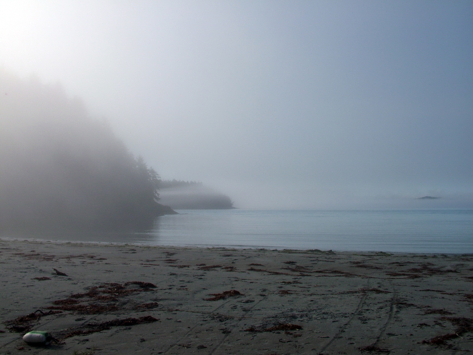
By the time we were ready to head off to sea, the sun had burned off most of the fog, but traces could still be seen offshore.
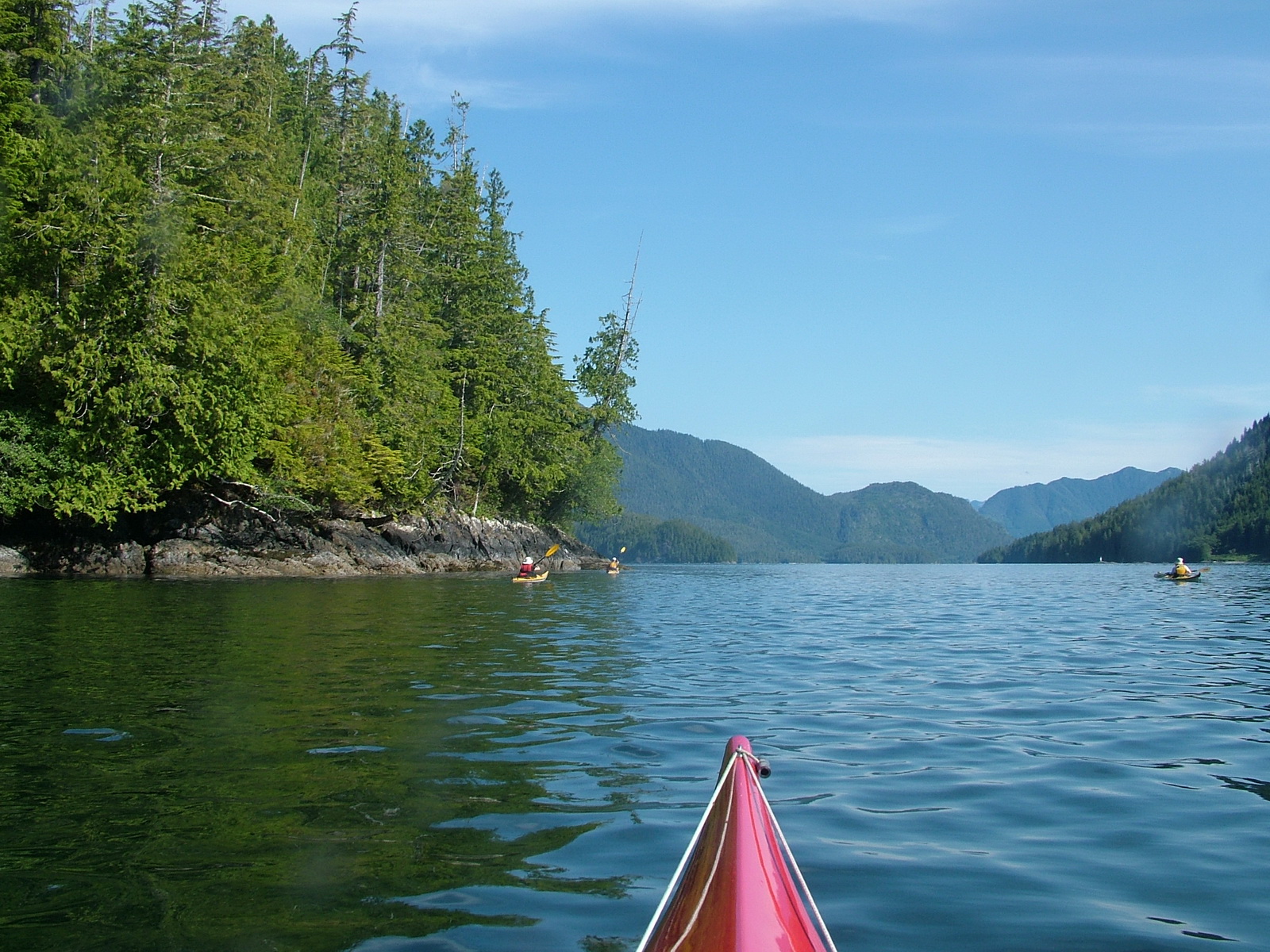
After navigating around a point on Vargus Island towards the open water, we could see many boats filled with tourists, prospective whale-watchers, barrelling along paying little heed to our vulnerability.
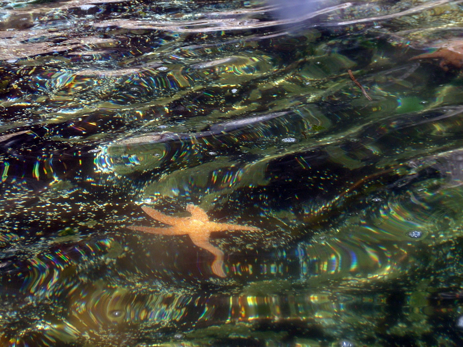
Nevertheless, we poked along the shore peering into the water where we saw Starfish, Jellyfish and countless Sea Anemone.
Before long, the curiosity of some seals had them surfacing close by our kayaks. Martin even sighted some porpoises although Claire and I only caught a brief glimpse of them before they dipped beneath the surface.
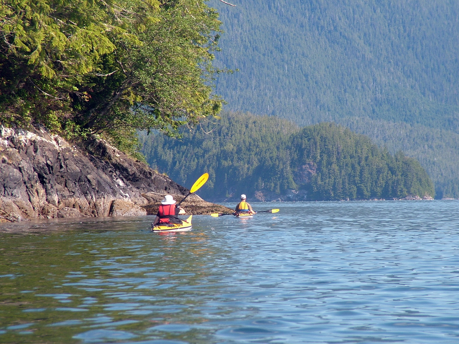
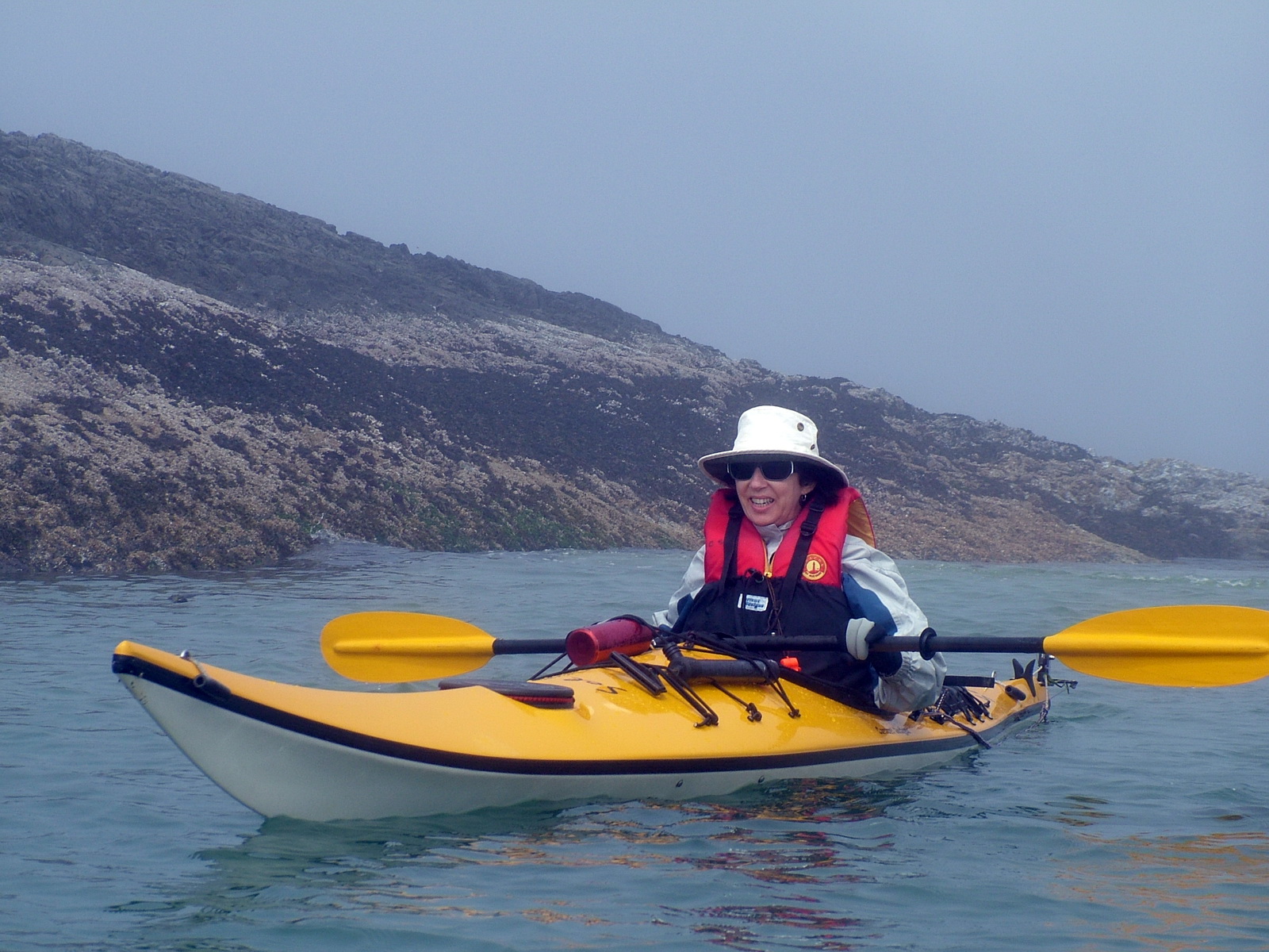
Bob and I managed quite nicely to keep up with Claire and Martin while still taking in all the sights. Photography was limited. Bob had one dry sac suitable for a camera meaning that he was the one responsible for all of our photos.
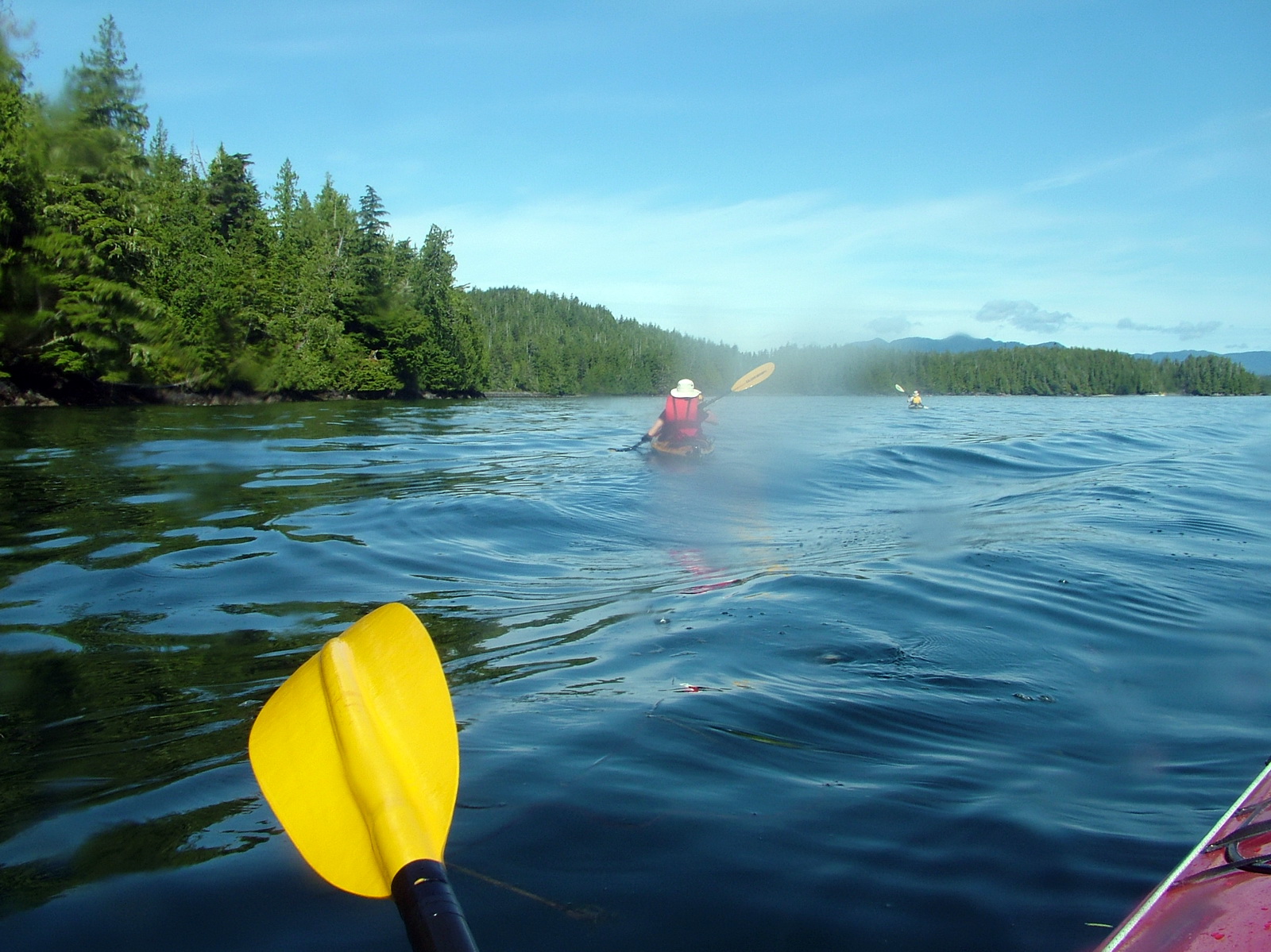
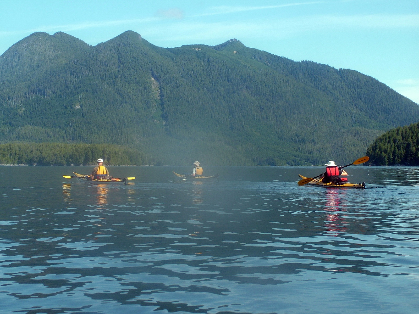
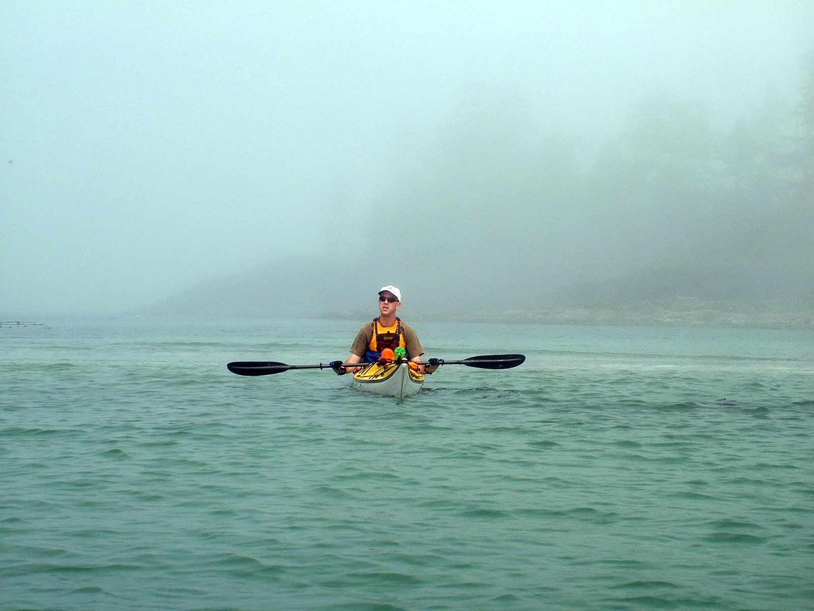
The fog continued to hem us in by times, presenting itself as a solid wall or rift that seemed impenetrable. Foghorns were employed by the bigger vessels, which never gave way to people kayaking.
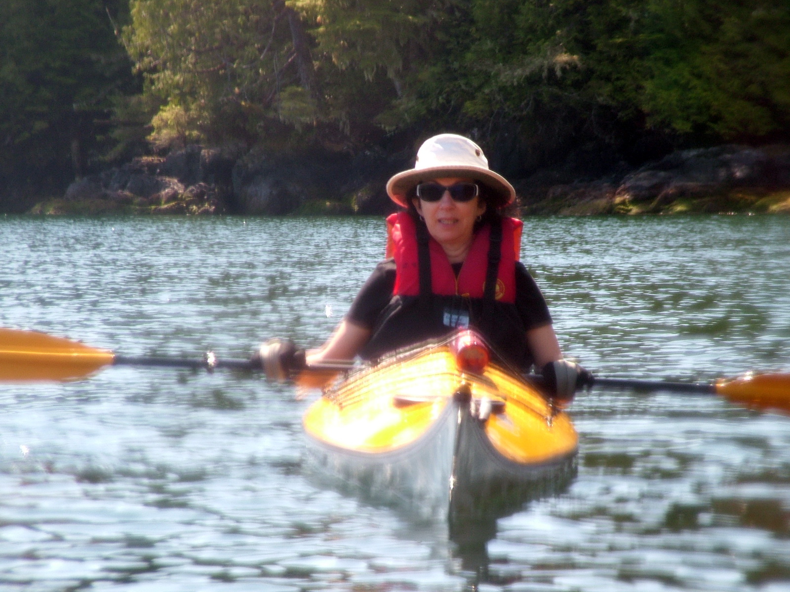
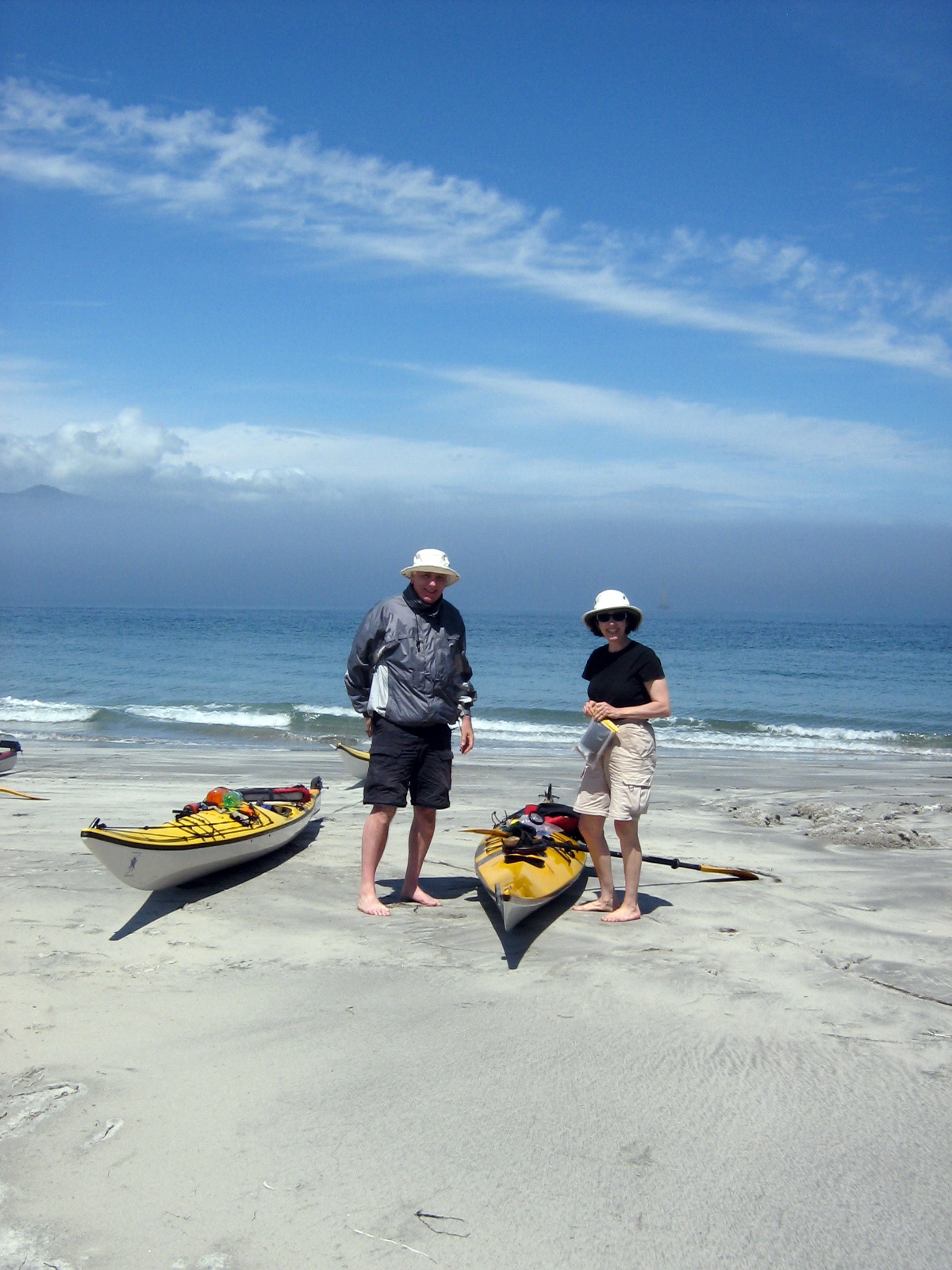
Bob and I were quite pleased with our stamina when employing the paddles, and Claire and Martin offered continuous support and recommendations.
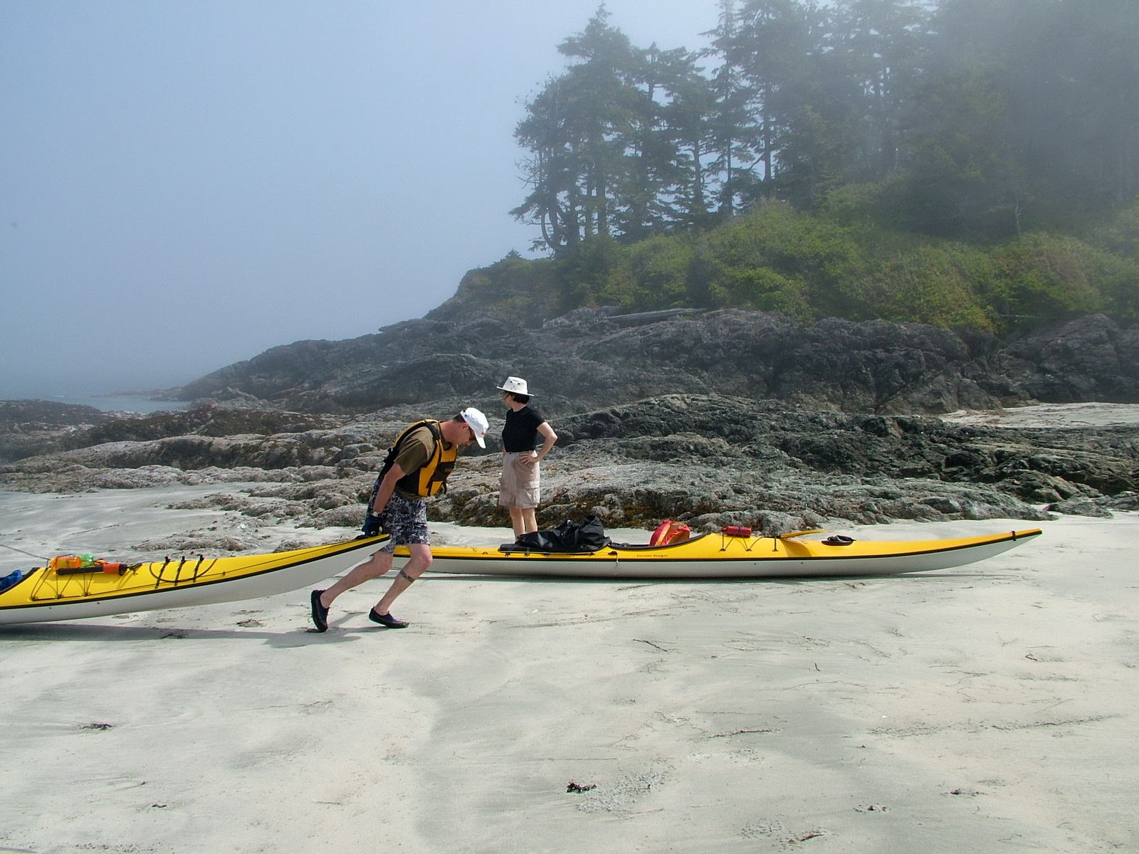
Over the next couple of days, we would be visiting various beaches along the perimeter of Vargas Island for lunch breaks and for camping at the end of each day. It was one such beach where we landed for our picnic this day.
Claire and Martin informed us that this particular beach was the site of the first-ever wolf attack on a human to occur in recorded Canadian history. That happened in 2000, a few years prior to our visit! The attack had been precipitated by an irresponsible camper who had disregarded the rules and fed the wolves hot dogs the day before the attack.
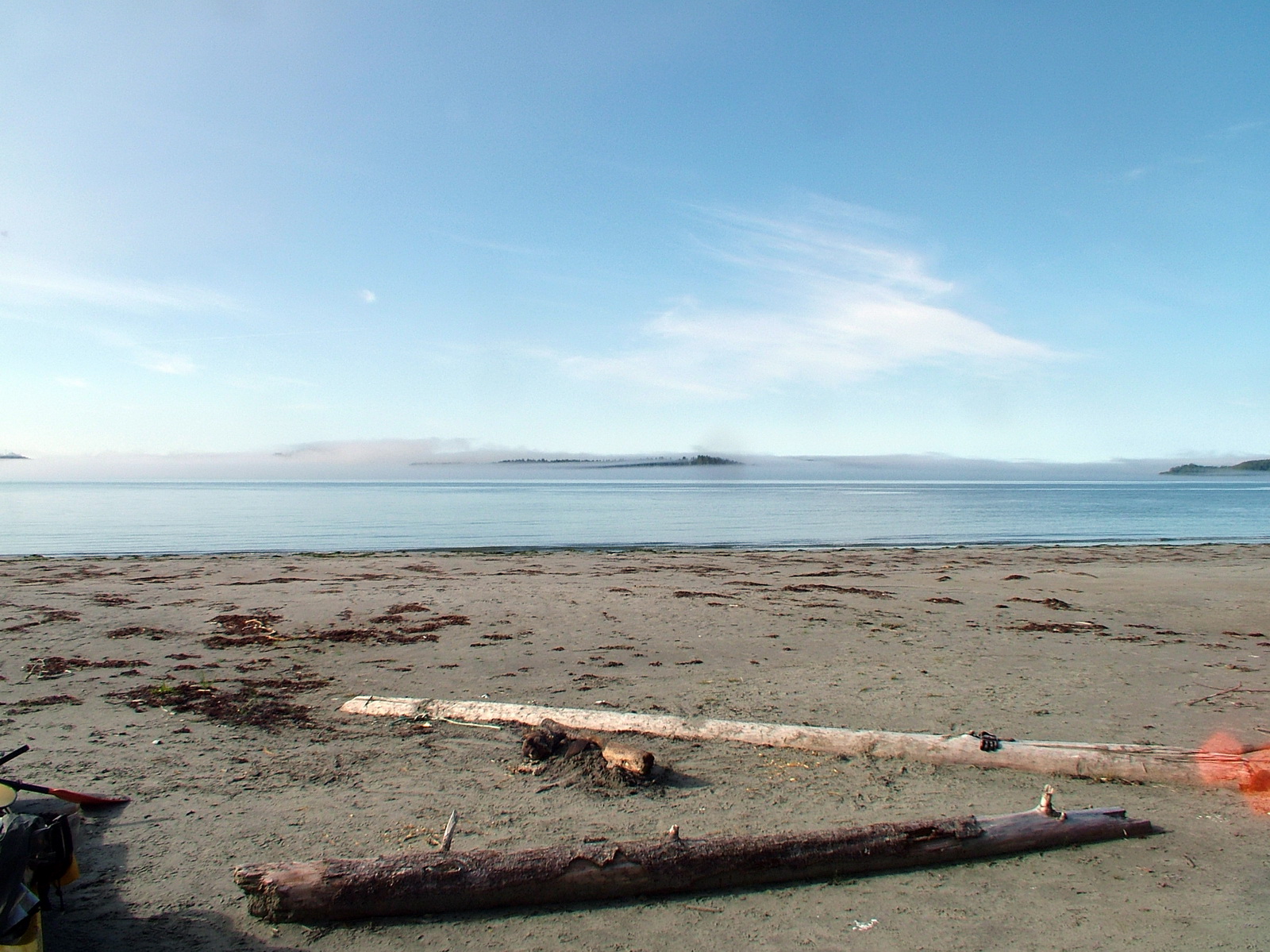
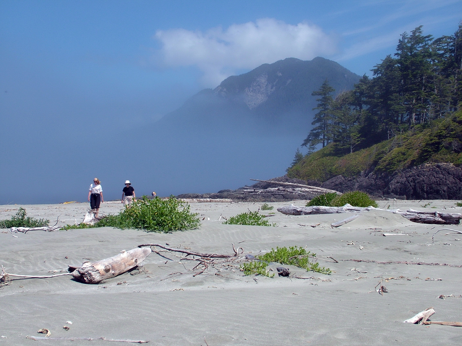
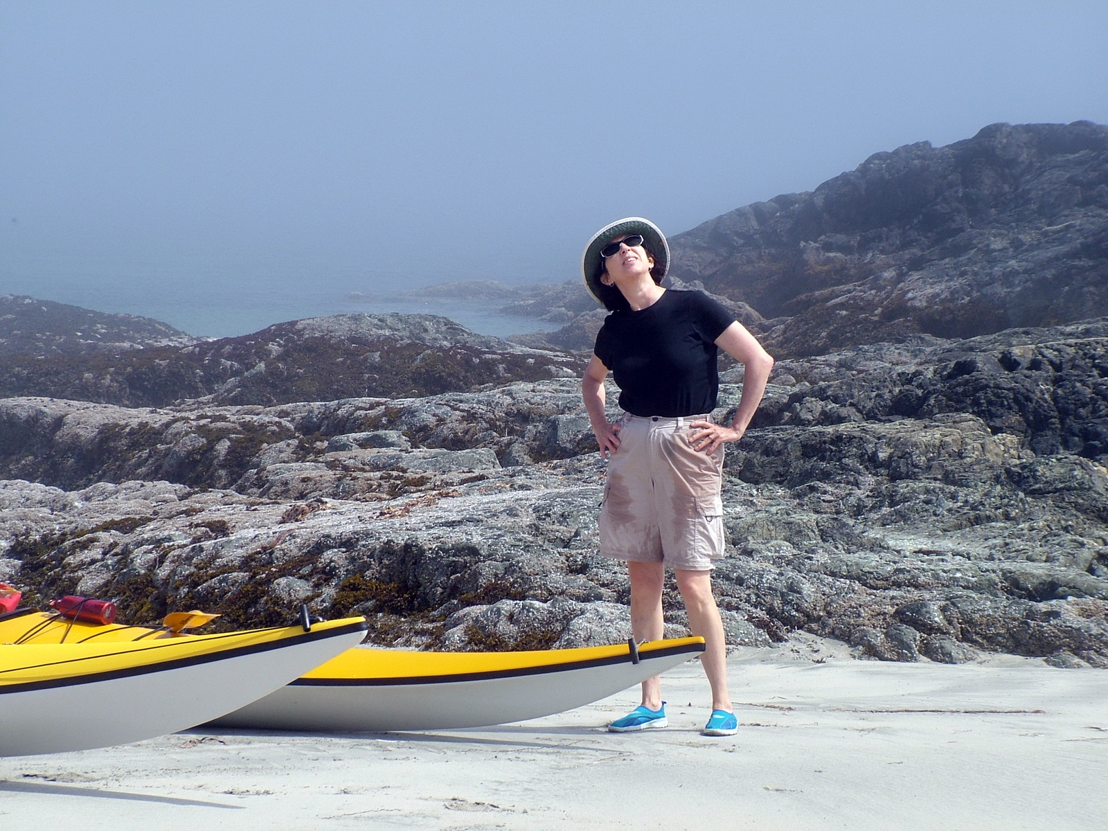
Claire and Martin really knew how to pick the ideal location to haul out and take a break. The sand beach was white and pristine.
I could’ve spread a towel and laid on that beach all day.
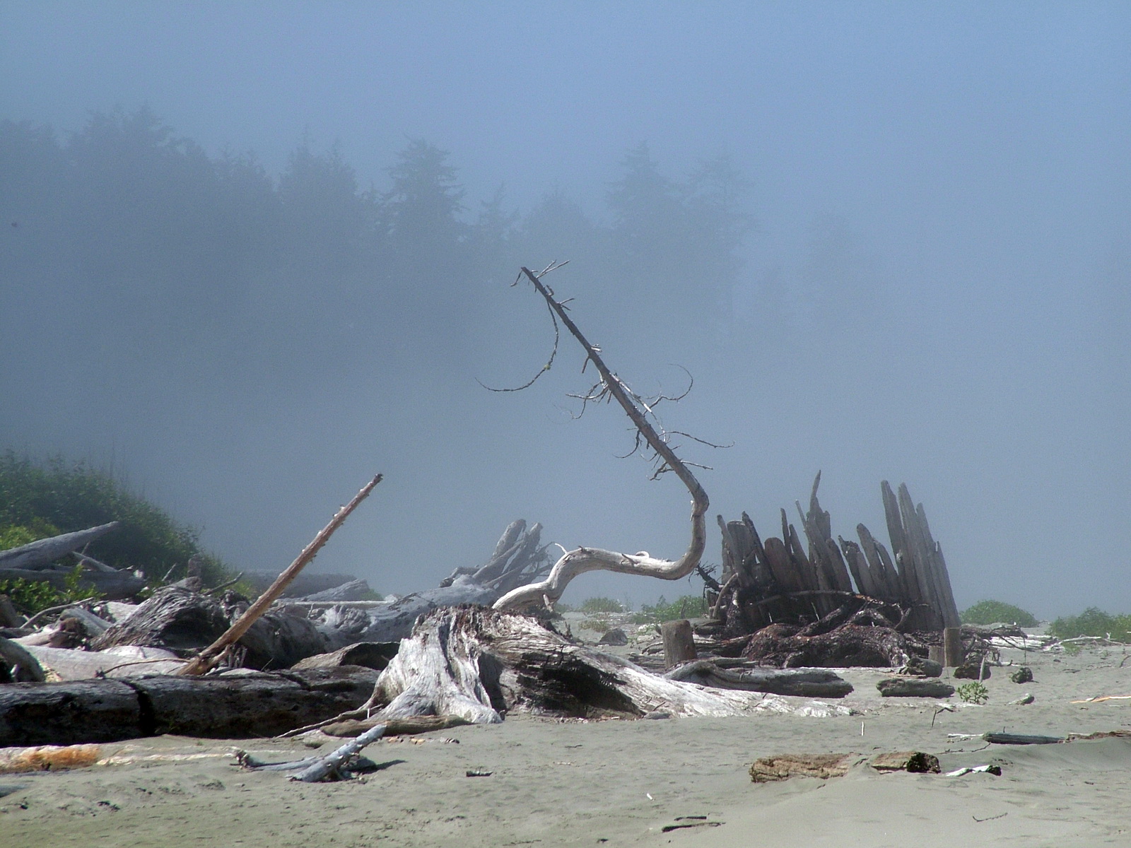
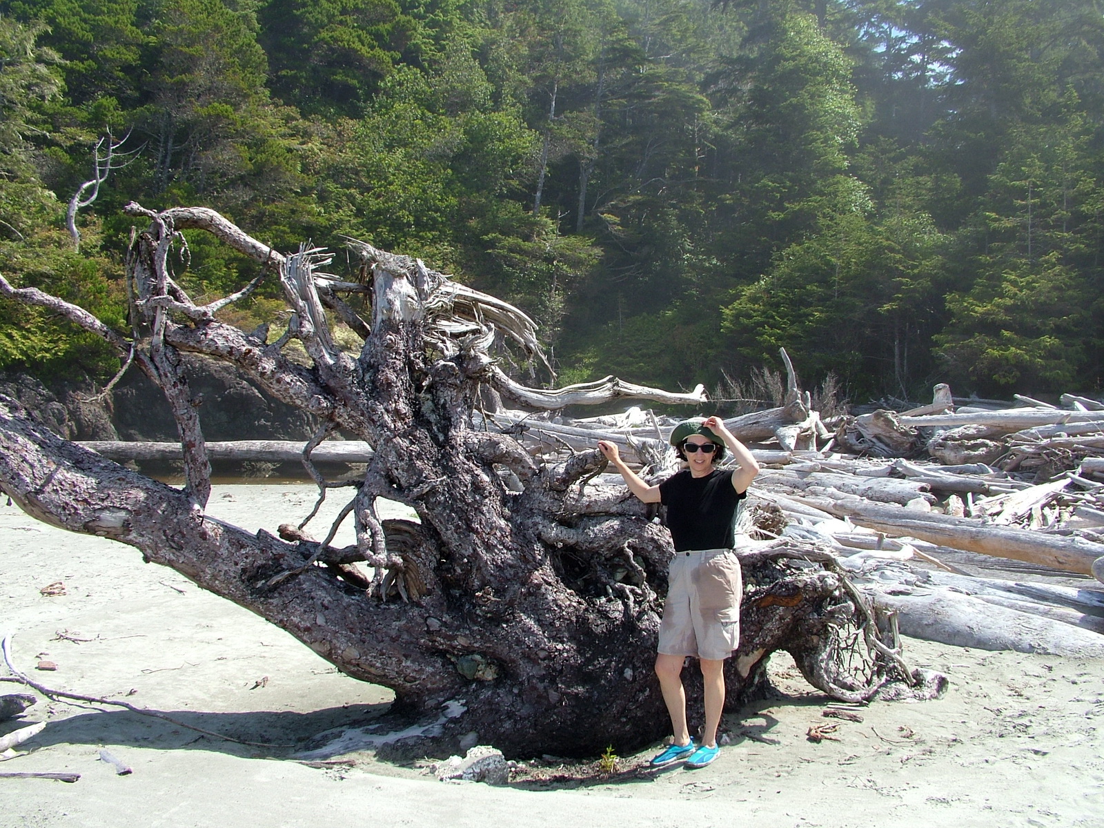
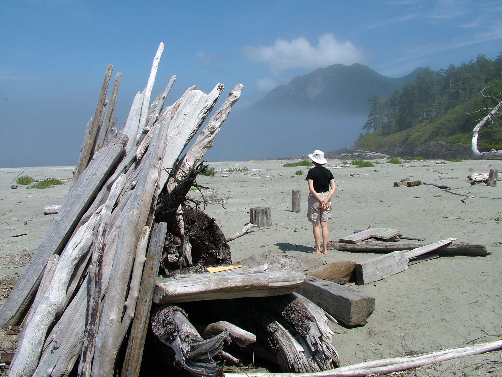
Ample driftwood was available for those people who might need to make a fire at their campsite later in the day.
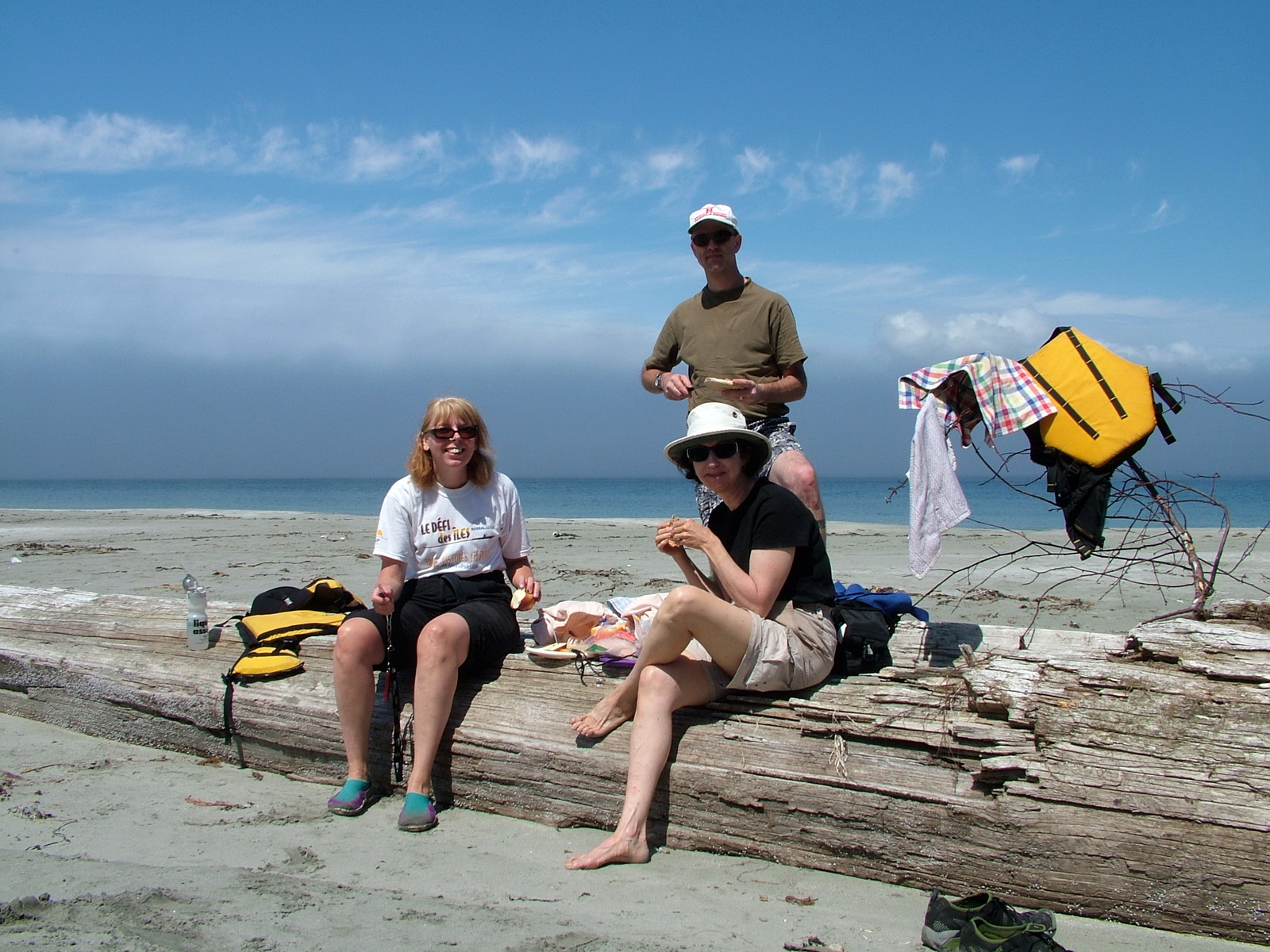
We needed to nourish our bodies before tackling the next leg of that day’s paddle. One over-sized log served as our lunch table.
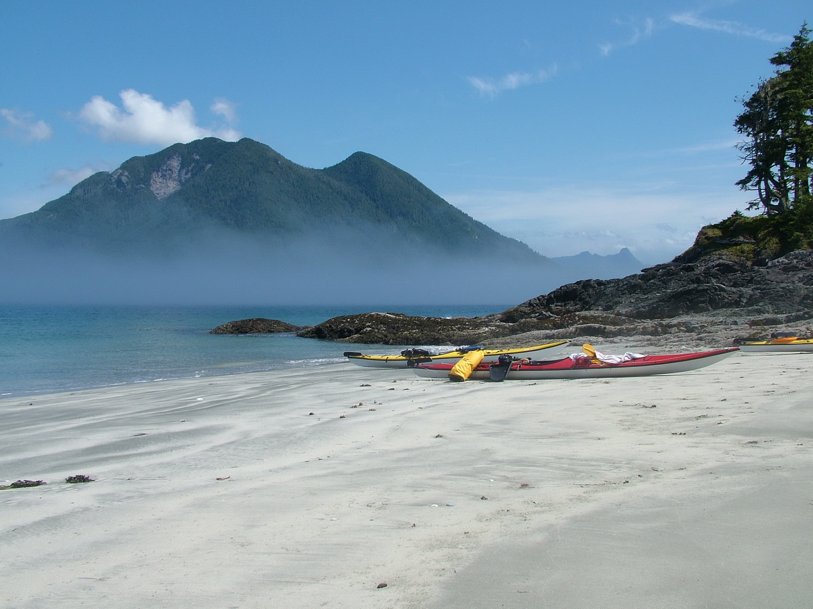
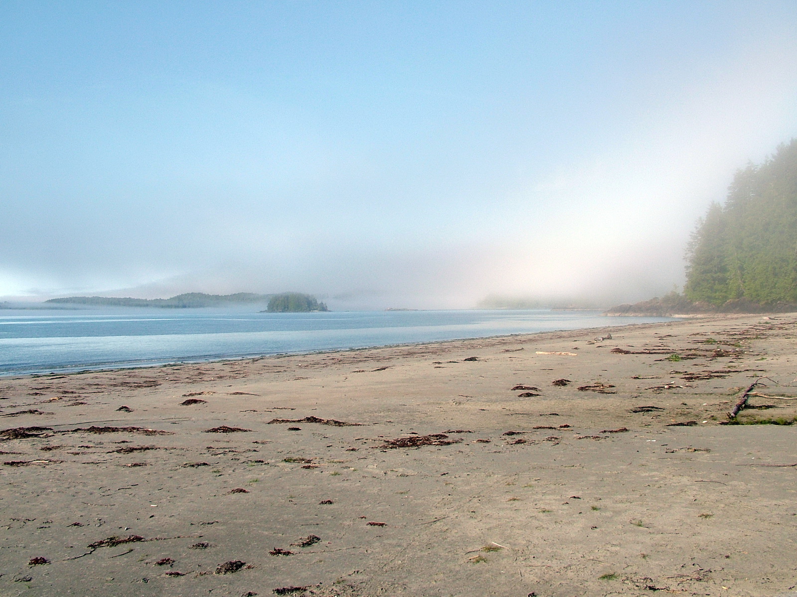
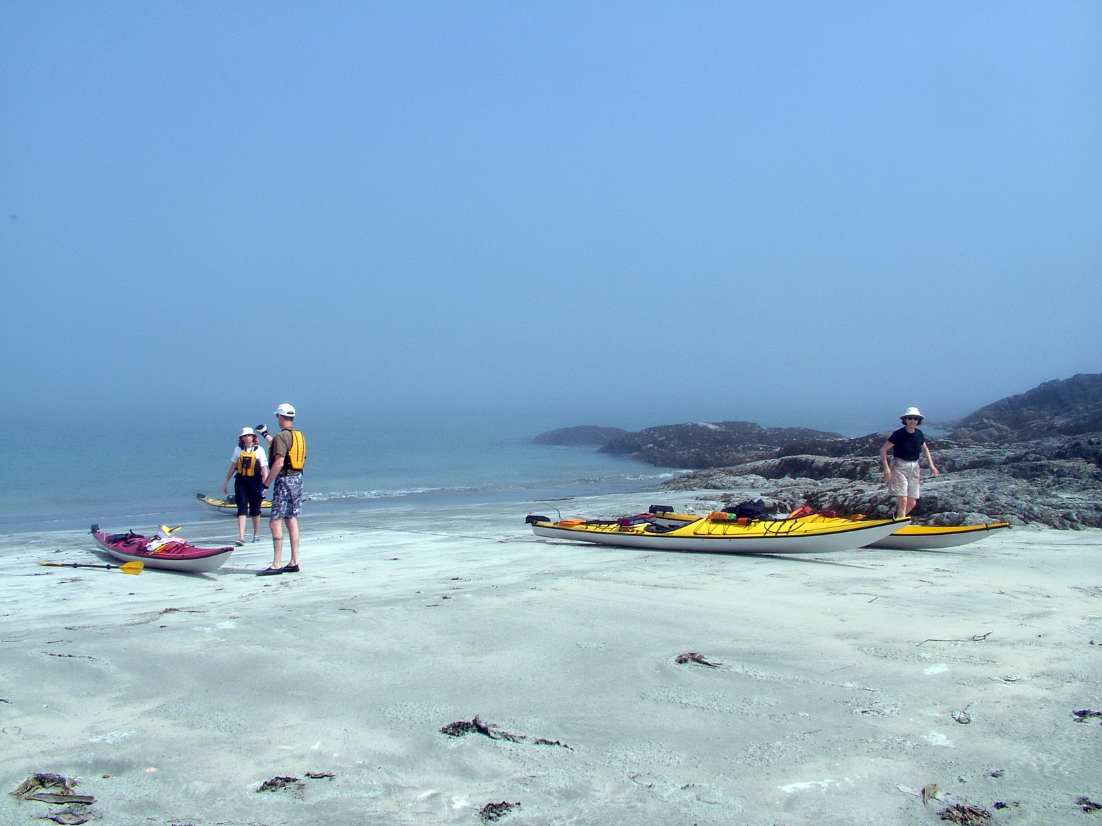
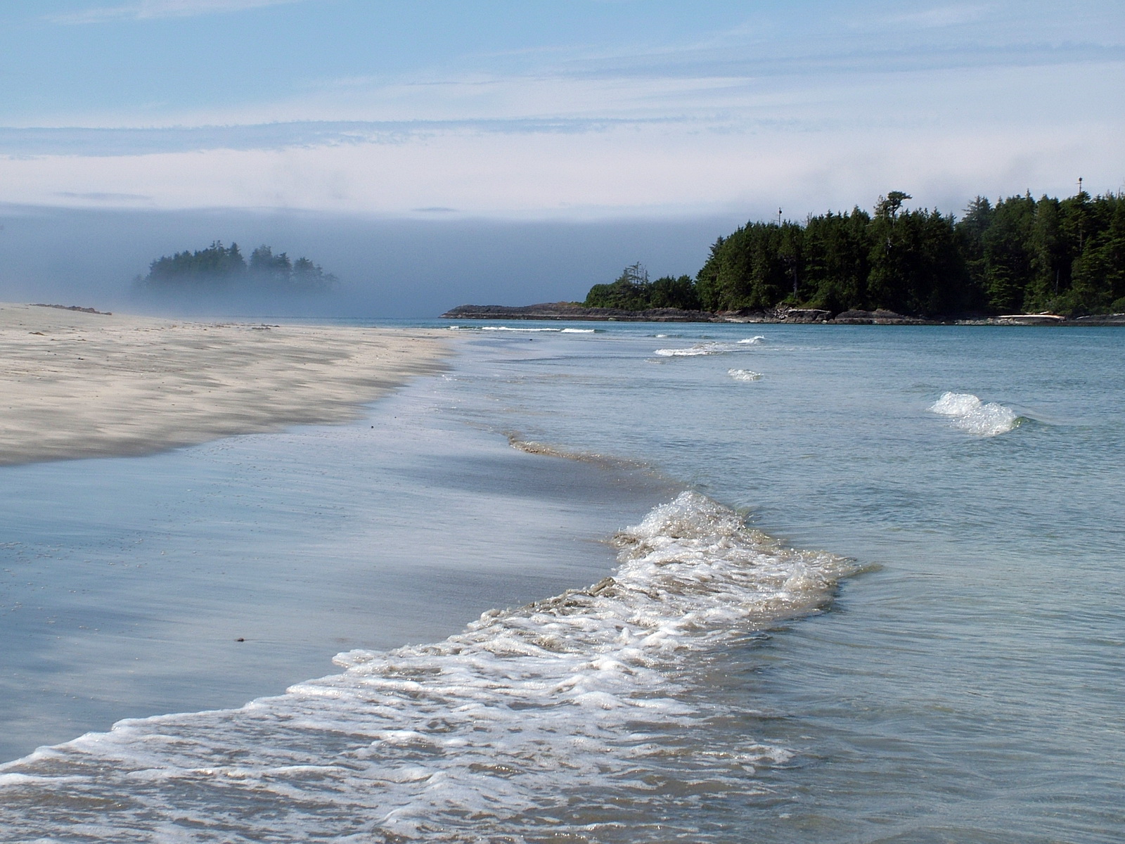
As we munched our lunch, the fog shifted providing a view of nearby Burgess Islet and Catface Mountain.
Just as suddenly, our view was totally obliterated as an offshore breeze carried before it yet another bank of thick fog.
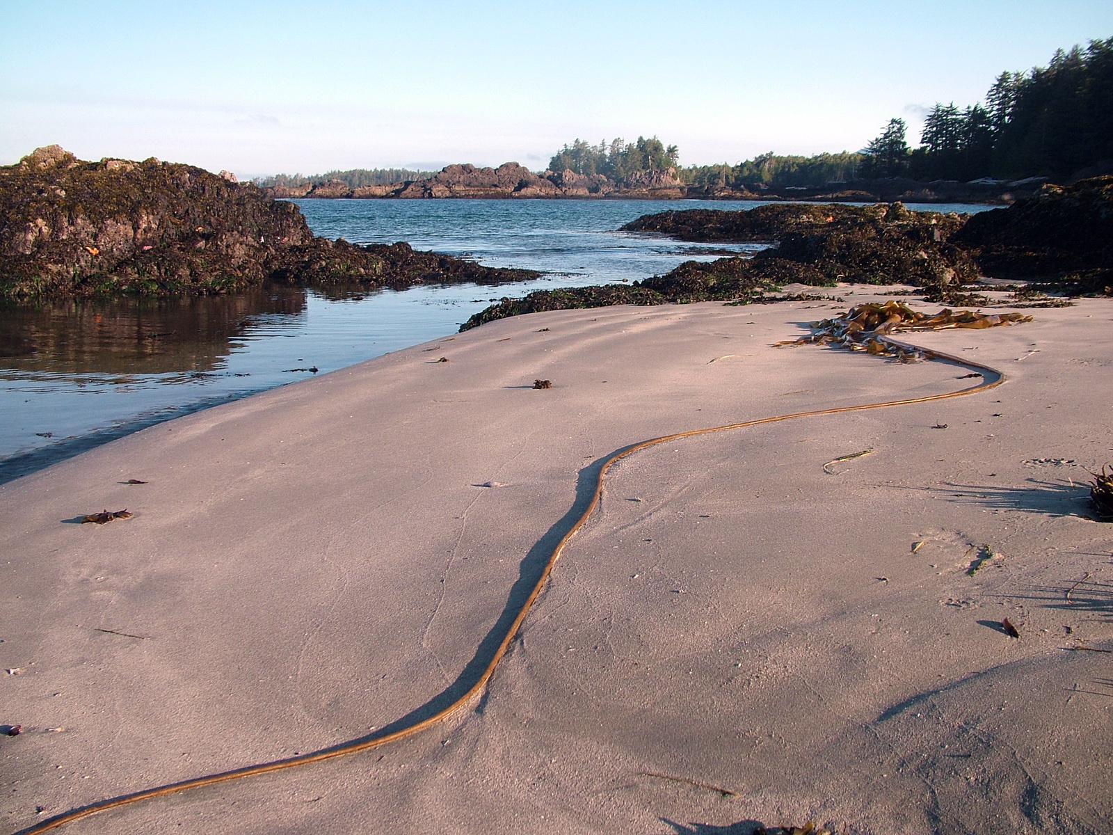
The lengthy beach provided a great opportunity for us to stretch our legs while checking the tidal debris for treasures.
It was not a surprise to find Sea Wolf tracks weaving back and forth from the tree line. Warning signs of recent sightings were posted at the edge of the forest so we took seriously the possibility of running up against one of these predators. It is unfortunate that the previous perpetrators had been shot the very day of their transgression. A new pack of wolves had moved into the territory shortly thereafter.
It just so happened that Claire and Martin had been camping at a beach near the site of the wolf attack in 2000. They came upon the commotion when paddling by the following morning.
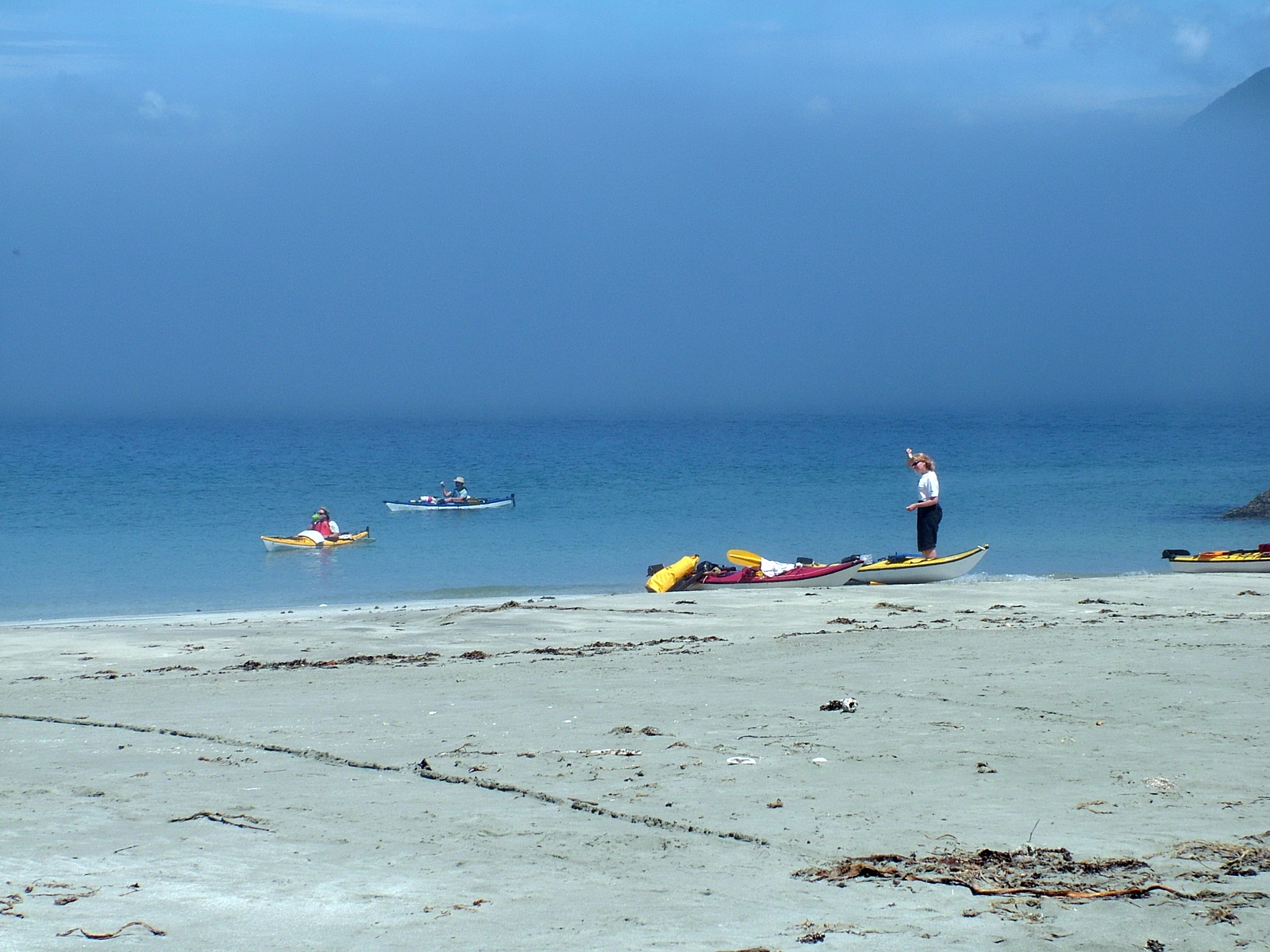
As we took our leisure, in no rush to move on, another group of kayakers passed by. Claire gave them notice that we would be leaving that beach in case they intended to pull out and camp for the night.
I was happy to catch sight of a Bald Eagle soaring overhead, one of many.
Shifting fog offshore had me feeling a little concerned when it was time to leave the beach and proceed into the rougher water of Brabant Channel.
We all readied to launch.
Thankfully, the conditions were the most calm that Claire and Martin had ever seen in that area. Nevertheless, surf crashing on nearby rocky points was quite unnerving.
Periodically, Claire ceased paddling to consult her nautical chart and compass. At no point did I doubt her judgment, but the familiar “splat” as the sealed, plastic pouch containing the chart was flipped back onto its regular position atop Claire’s deck reassured me repeatedly that Claire knew where we were and in which direction to point our bows.
The thick fog made navigating more difficult, so shortly after passing a fishing boat moored off a barnacle-encrusted out-cropping of rock, we knew relief as the entrance to Ahous Bay, our destination for that night’s campsite, revealed itself just the other side of a huge kelp bed.
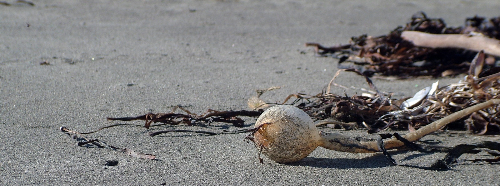
The bulbous ends of the kelp ranged in size from ping pong balls to tennis balls, and the girth of some of the stems was equal to that of my forearm.
Because of this, our rudders were put into the upright position to avoid getting snagged by the kelp’s long trailing stems. Seen here is an example we found on Medallion Beach on Vargas Island a couple of days later.
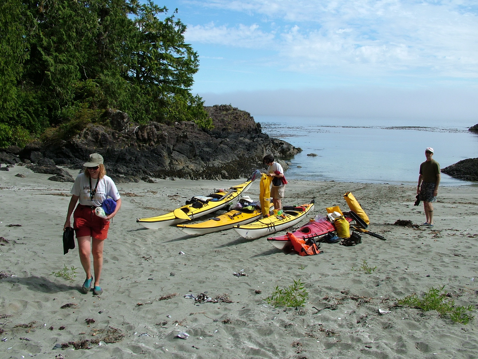
With adeptness, we were able to haul out the kayaks and begin to set up camp.
Frame To Frame – Bob and Jean